search.ch

Appenzeller Alpenweg

Local route No. 980, Urnäsch–Urnäsch
  • Image 1

Description

Local route
No. 980 (Urnäsch–Urnäsch)
Length
29 km
Ascent • Descent
↑ 1700 m • ↓ 1700 m
Lowest point • Highest point
814 m • 1574 m
Grade
medium (mountain hiking trail)
Fitness level
difficult
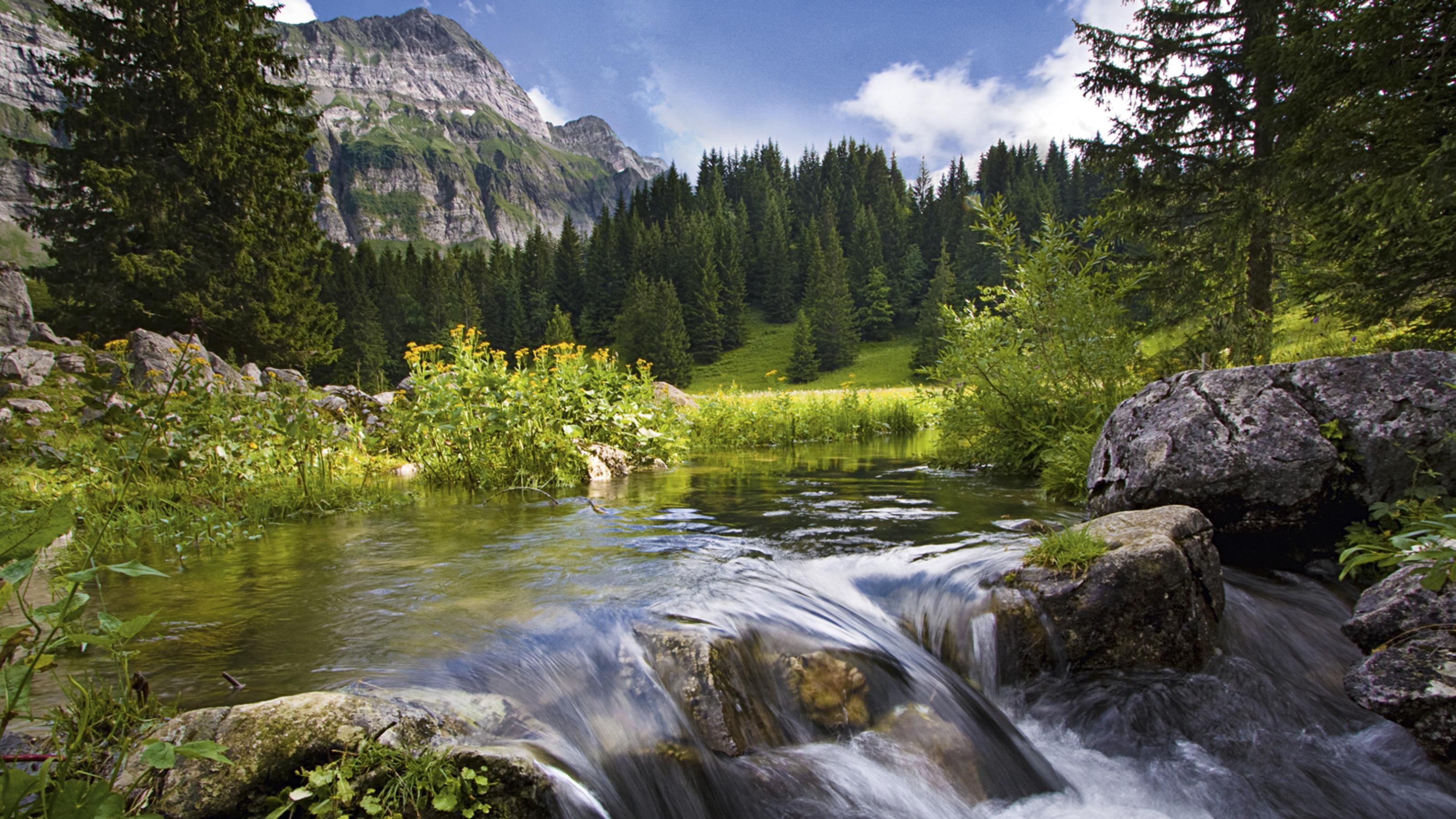
A circular route through the pre-Alpine Appenzell landscape with the peaks around Mount Säntis as backdrop. On your hike through partially protected intact natural countryside, you'll be almost alone on the Alpine meadows. Half-way along is Schwägalp, from where the cable car to the summit of Mount Säntis departs.

Booking Information

Height profile

Weather:

Appenzellerland Tourismus

Comments about this activity or place?

Thank you for your feedback!