search.ch

Moränenseeroute

Percorso locale N. 360, Uetendorf–Uetendorf
  • Immagine 1

Descrizione

Percorso locale
N. 360 (Uetendorf–Uetendorf)
Lunghezza
26 km
Salite • Discesa
↑ 420 m • ↓ 420 m
Punto più basso • Punto più alto
553 m • 749 m
Forma fisica
medio
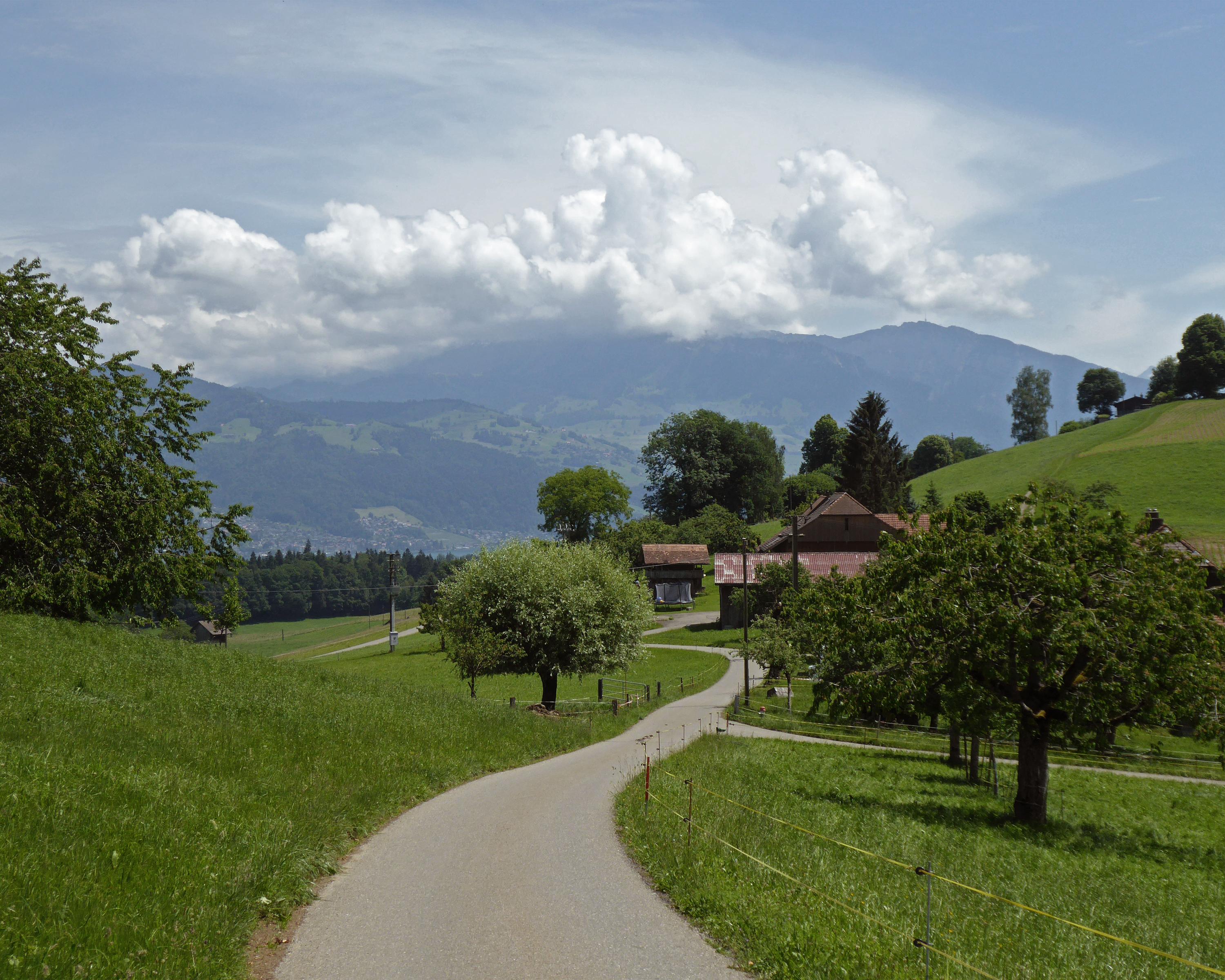
This is one of the most beautiful bicycle routes to the west of Thun. It takes you through unspoilt scenery past the four moraine lakes that were left behind by the long-gone Aare Glacier. Stopping at Amsoldingen church with its castle is highly recommended.

Informazioni sulla prenotazione

Itinerario

Grafico altezza

Meteo:

Thun-Thunersee Tourismus

Commenti su questa attività o luogo?

Grazie per il tuo commento!