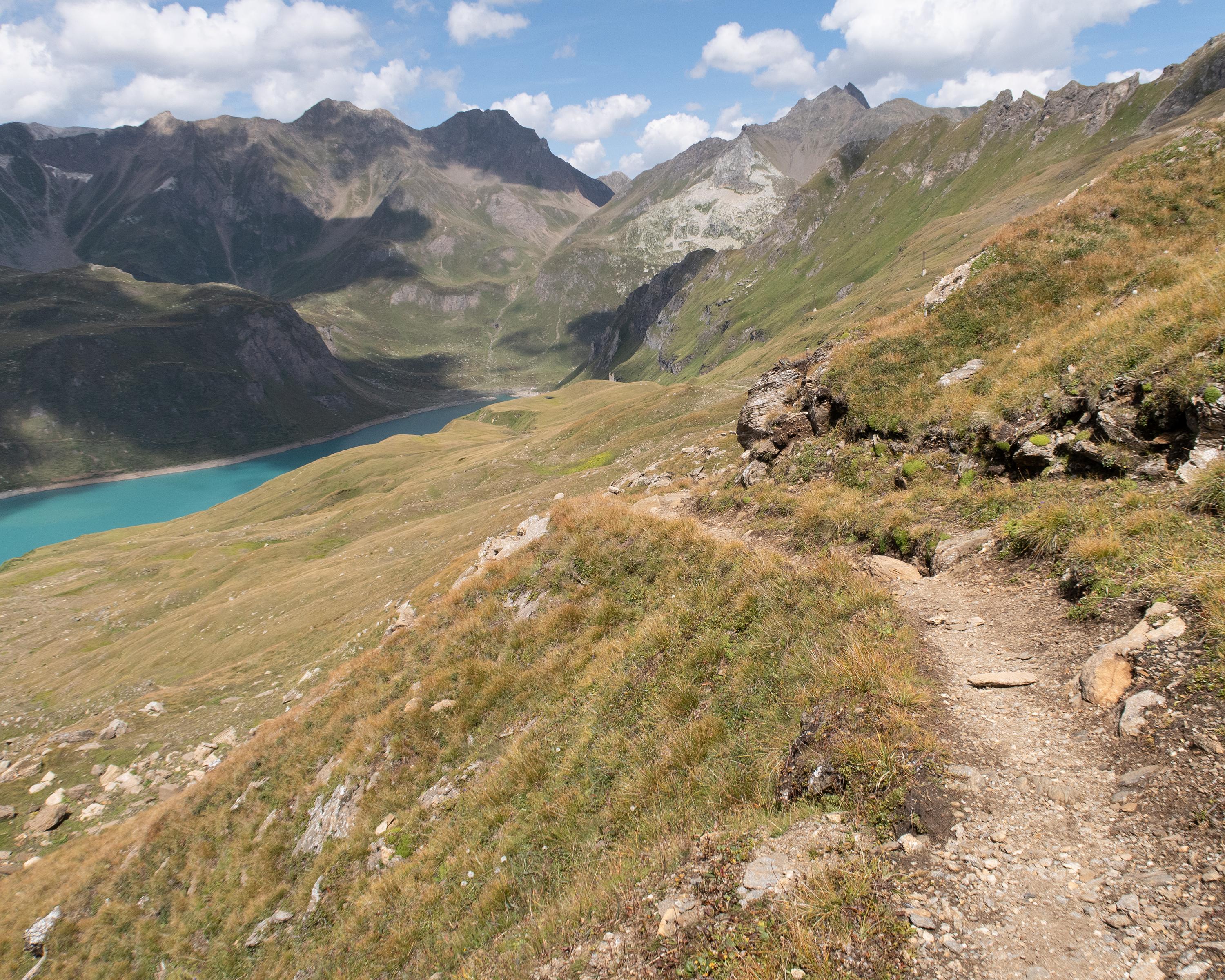
From one picturesque Walser settlement to the next, the path then climbs up a steep, stepped rock face to the first dam, Lago Busin. This is followed by another pass crossing and the path descends to the long Lago Vannino. At the end of it, the attractive Rifugio Margaroli sits on a hill.

..Lago+Vanninio%2FMargaroli+(I)&freizeit=1&noweather=1&width=400&height=200&x_axis_display=distance&polyline=%7Bp_h%40ys%7DFi%7BA%3FtBeDqAyFDcHOgHSyDK%7BDiBmDEkEc%40oCc%40sCmFuCVwGgCmFMqGe%40yGT%7DGeAeELqEsFmDJmHwAkCf%40eDvBsITgJnCuCHoEhBoEZiFhDoAG%7BDd%40iEJqEvDuAC%7BEBsEEwE%7BD_%40SkFoAeCg%40sDEqGwByGa%40uBmAwCCcDqAuECaDcA%7BDtAmGiBmHc%40cCoAkDZ%7BD%7B%40_E_AeDcAgEu%40eD_AaEx%40gFeAkGdCbBIiDPwA%7B%40qEa%40oC_AyEzEFaA%7DEtA%7DBkAmEtAcEaByEtCiBe%40yDjFsEmAiIv%40mAB_BlKuAaAwLdEl%40c%40_FhDQWkDtCkA%7DAuGOgBuAwC_DmDqByFhBmDa%40mEOeCMmDwCkCc%40uEHiGIkGAyDBgEKmEFmEoAwCA%7DD%7BDaD_%40cG%7B%40uCh%40gDqBgDCsE_DyD%7B%40uF%7CAaA%5E_DlEiAc%40_FnCkDG_FnCyAAkDjEeA%5CaF%60E%7BBFmF%7CBeCo%40cEfDw%40c%40wDdEaA%7D%40oEvBmDI%7BFsBoCz%40iEqBkHp%40eIOuCXwC_A%7BDHgEaAqBBcCvAyHlAkIt%40sARcBzEmFv%40cIx%40f%40T%7DAtCYp%40oGrCmBr%40%7BF%7BAoC%5EmEkAkBRcCy%40sFPyFzFk%40NoGlC_Aj%40yFCuB%60%40uBqCaCd%40mEyEa%40E%7DE_CeC%40yDuCsBU%7BDeAsDHcEwCcFFqGYcEBoEa%40mH%40oHLgA%40iAQ%7BDC%7DDeBeEM_FsCaITcK%3FyB_%40yBA_BHgB)