DE
FR
IT
EN
Directory
Weather
Map / Route
Timetable
Leisure
TV guide
Cinema
Web search
Apps
More
Personal Data »
Login:
Register
Password forgotten
or
Log in with local.ch
Log in with Apple
Log in with Facebook
Log in with Google
Log in with LinkedIn
Please note that our new
privacy statement
as well as the revised
terms and conditions of use
apply.
Leisure
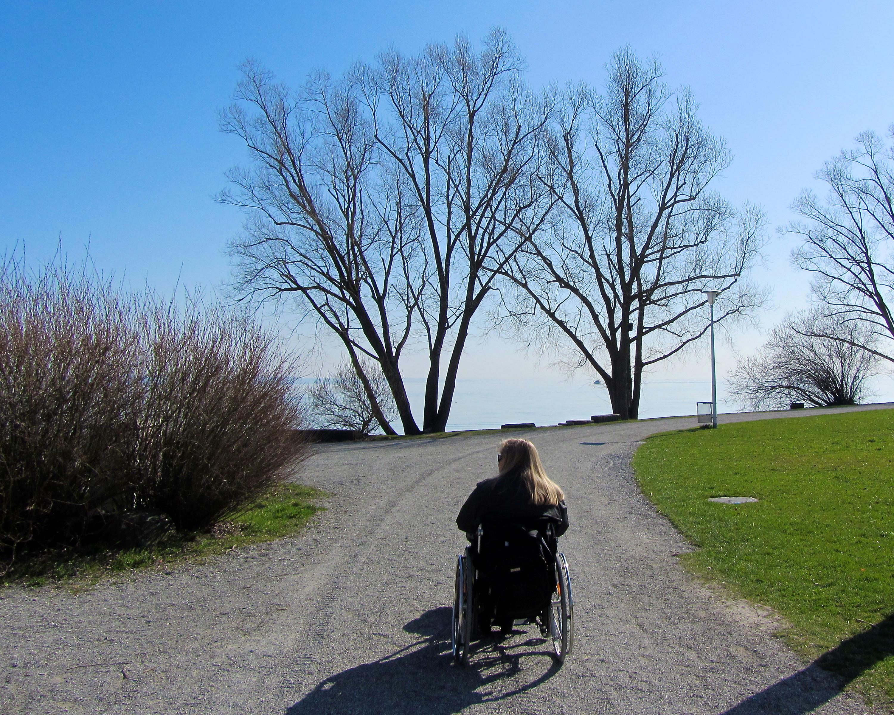
Hike in Altnau
Bodensee-Uferweg
Accessible route No. 919, Stage 9: Kreuzlingen – Romanshorn
Description
Accessible route
No. 919
Length
22 km
Ascent • Descent
↑ 120 m • ↓ 120 m
Lowest point • Highest point
396 m • 415 m
Hiking time
5 h 20 min
Grade
medium
Fitness level
easy
The route from Kreuzlingen along the shores of the Bodensee to Romanshorn gives you a true holiday feeling. The entire stretch affords imposing views of and around the international fresh-water lake.
Booking Information
E-mail:
tourismus@procap.ch
Comments on this information?
We welcome your feedback!
Presented by
Route
Height profile
Weather:
More...
Procap
Frohburgstrasse 4, 4600 Olten
Procap
Frohburgstrasse 4, 4600 Olten
062 206 88 30
Comments about this activity or place?
Incorrect information
Missing information
Another topic
Thank you for your feedback!
Close