Hindernisfreier Weg Nr. 919, Etappe 9: Kreuzlingen – Romanshorn
Beschreibung
Hindernisfreier Weg
Nr. 919
Länge
22 km
Aufstieg • Abstieg
↑ 120 m • ↓ 120 m
Tiefster Punkt • Höchster Punkt
396 m • 415 m
Wanderzeit
5 h 20 min
Technik
mittel
Kondition
leicht
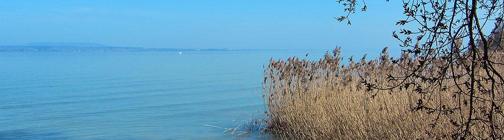
Die Route ab Kreuzlingen entlang dem Bodenseeufer bis nach Romanshorn lässt wahrhaftig Feriengefühle aufleben. Die Strecke bietet einen imposanten Ausblick auf und um den internationalen Süsswassersee.