search.ch

Walserweg Gottardo, Stage 10/14

Regional route No. 62, Stage 10: Passo San Gottardo – Andermatt
  • Image 1

Description

Regional route
No. 62 (Binn – Obersaxen, St. Martin)
Length
13 km
Ascent • Descent
↑ 120 m • ↓ 780 m
Lowest point • Highest point
1429 m • 2109 m
Hiking time
3 h 20 min
Grade
medium
Fitness level
medium
Regional route No. 62: Walserweg Gottardo
Stages
0. Binn – Crampiolo (I)
0. Crampiolo (I) – Salècchio (I)
0. Salècchio (I) – Lago Vanninio/Margaroli (I)
0. Lago Vanninio/Margaroli (I) – Ponte Formazza (I)
0. Ponte Formazza (I) – Bosco Gurin
0. Bosco Gurin – Bignasco
0. Bignasco – Robiei
0. Robiei – Bedretto
0. Bedretto – Passo San Gottardo
0. Passo San Gottardo – Andermatt
0. Andermatt – Oberalppass
0. Oberalppass – Curaglia
0. Curaglia – Sumvitg, Val
0. Sumvitg, Val – Obersaxen, St. Martin
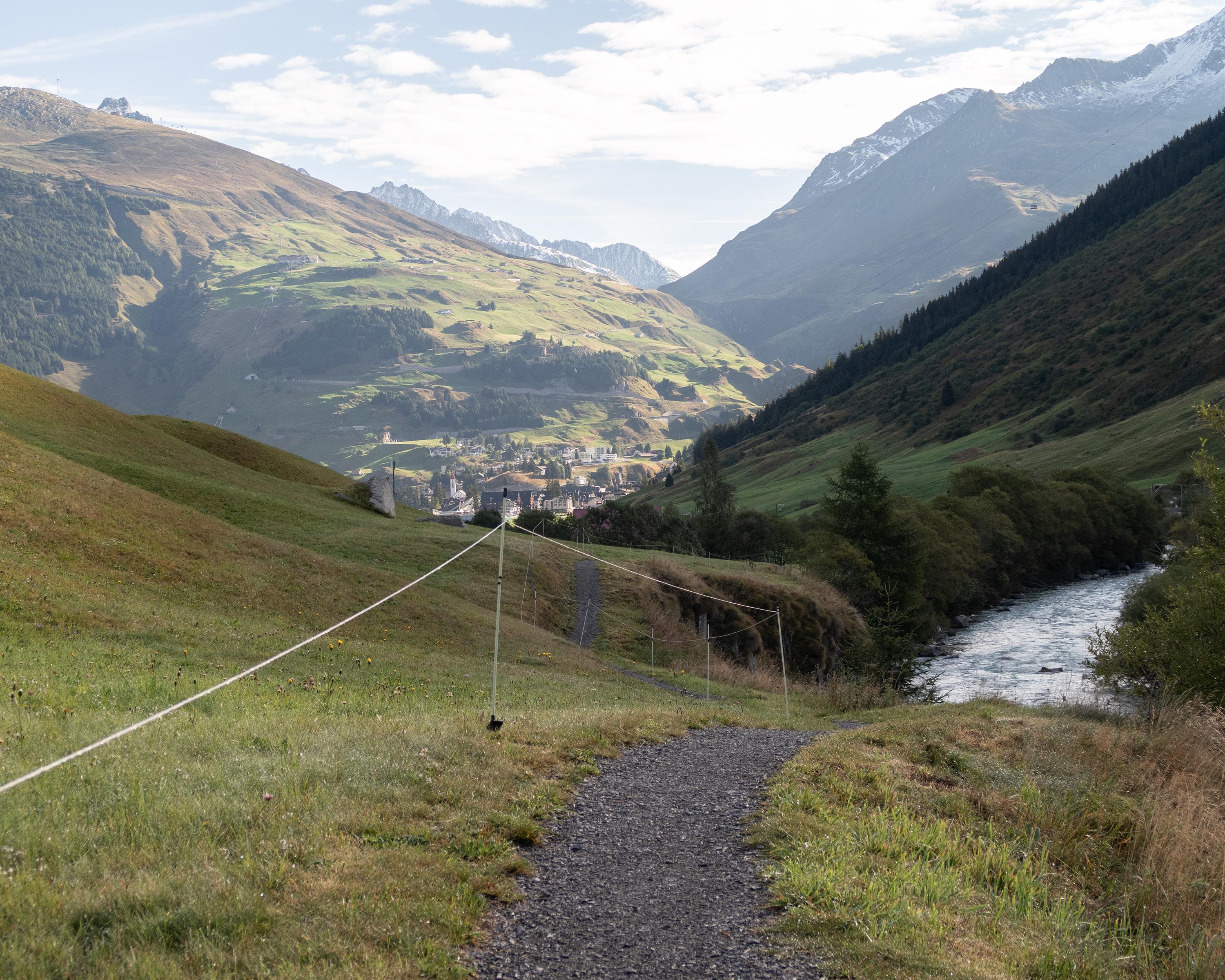
Anyone who likes hiking downhill will like this stage: it connects the Gotthard Pass with Andermatt, the capital of the Urseren Valley. The old mule track takes you down to the lively Hospen Valley with countless places to take a break or stay overnight. You reach the destination for this stage along by the Reuss and the extensive golf course of the Swiss Alps resort.

Height profile

Weather:

Comments about this activity or place?

Thank you for your feedback!