DE
FR
IT
EN
Directory
Weather
Map / Route
Timetable
Leisure
TV guide
Cinema
Snow
Web search
Apps
More
Personal Data »
Login:
Register
Password forgotten
or
Log in with local.ch
Log in with Apple
Log in with Facebook
Log in with Google
Log in with LinkedIn
Please note that our new
privacy statement
as well as the revised
terms and conditions of use
apply.
Leisure
Hike in Vallée du Trient
ViaFrancigena, Stage 9/10
Regional route No. 70, Stage 9: Orsières – Bourg-St-Pierre
Description
Regional route
No. 70 ((Canterbury)–Ballaigues – Col du Gd St-Bernard–(Rom))
Length
14 km
Ascent • Descent
↑ 950 m • ↓ 180 m
Lowest point • Highest point
887 m • 1634 m
Hiking time
4 h 25 min
Grade
easy
Fitness level
difficult
Regional route No. 70:
ViaFrancigena
Stages
0. Martigny – Orsières
0. Orsières – Bourg-St-Pierre
0. Vevey – Aigle
0. Lausanne – Vevey
0. Bourg-St-Pierre – Col du Gd St-Bernard
0. St-Maurice – Martigny
0. Cossonay – Lausanne
0. Ballaigues – Orbe
0. Aigle – St-Maurice
0. Orbe – Cossonay
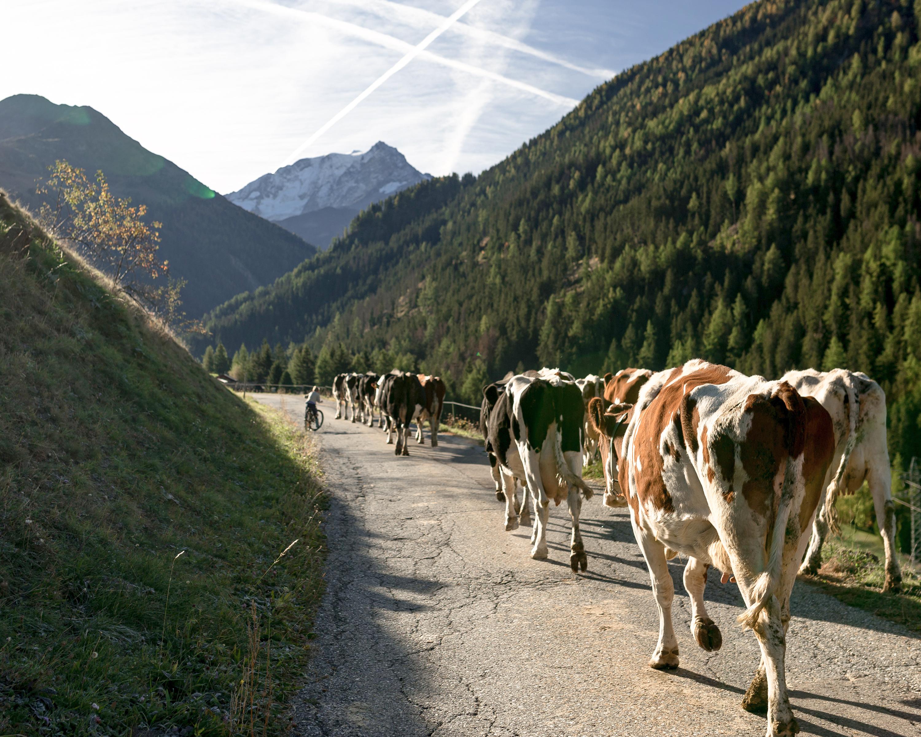
This stage first takes you along a forest trail to the left of the river. You then go to the right of the river along the historic path from Liddes to the small chapel of Notre-Dame-de-Lorette before reaching Bourg-St. Pierre.
Comments on this information?
We welcome your feedback!
Presented by
Route
Height profile
Weather:
More...
Comments about this activity or place?
Incorrect information
Missing information
Another topic
Thank you for your feedback!
Close