search.ch

Mittelbünden-Panoramaweg, Stage 1/2

Percorso regionale N. 54, Tappa 1: Lenzerheide – Arosa
  • Immagine 1

Descrizione

Percorso regionale
N. 54 (Lenzerheide – Davos)
Lunghezza
21 km
Salite • Discesa
↑ 1600 m • ↓ 1300 m
Punto più basso • Punto più alto
1474 m • 2855 m
Tempo di marcia
8 h
Tecnica
medio
Forma fisica
difficile
Percorso regionale N. 54: Mittelbünden-Panoramaweg
Tappe
1. Lenzerheide – Arosa
2. Arosa – Davos
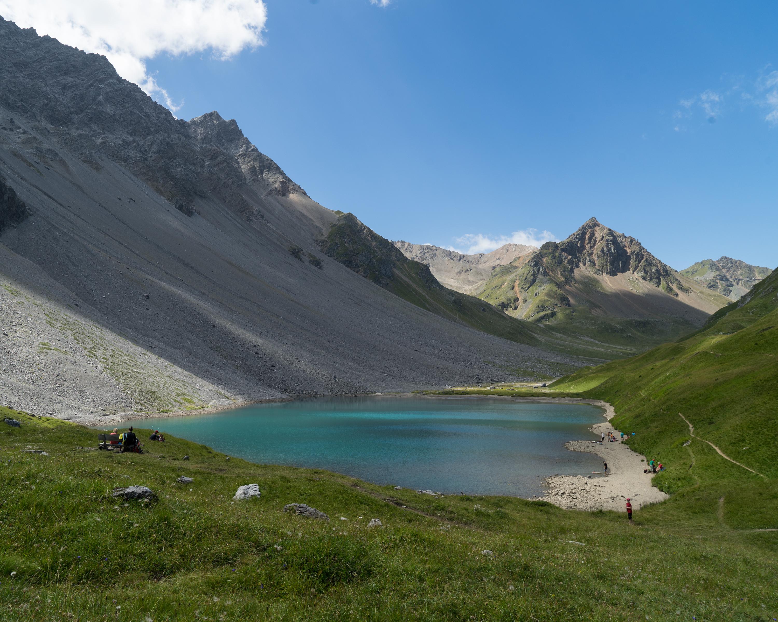
This demanding route climbs from Lenzerheide towards the Parpaner Rothorn mountain, where iron ore was once mined long ago. You will also walk through Parc Ela, known for its abundant insect life. The descent leads through a lunar landscape and Swiss stone pine forests and past an idyllic little lake. Arosa, with all its tourist amenities, will already be in sight below.

Itinerario

Grafico altezza

Meteo:

Commenti su questa attività o luogo?

Grazie per il tuo commento!