DE
FR
IT
EN
Directory
Weather
Map / Route
Timetable
Leisure
TV guide
Cinema
Snow
Web search
Apps
More
Personal Data »
Login:
Register
Password forgotten
or
Log in with local.ch
Log in with Apple
Log in with Facebook
Log in with Google
Log in with LinkedIn
Please note that our new
privacy statement
as well as the revised
terms and conditions of use
apply.
Leisure
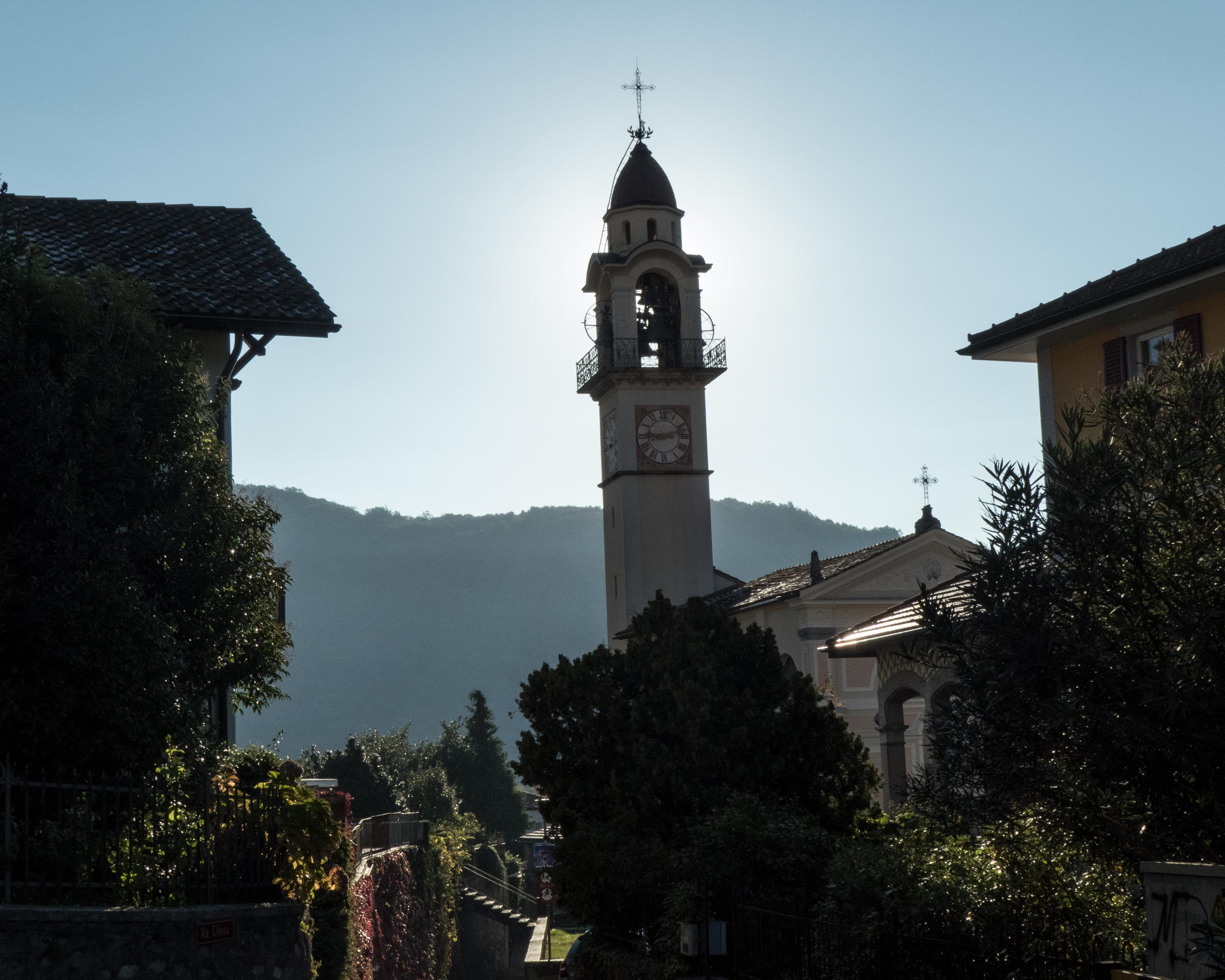
Hike in Lake Lugano
Sentiero Lago di Lugano
Regional route No. 52, Lugano (Magliaso) – Mendrisio
Description
Regional route
No. 52 (Lugano (Magliaso) – Mendrisio)
Length
135 km
Ascent • Descent
↑ 9000 m • ↓ 9600 m
Lowest point • Highest point
271 m • 2116 m
Grade
medium
Fitness level
difficult
Regional route No. 52: Sentiero Lago di Lugano
Stages
0. Miglieglia – Cap. Tamaro
0. Lugano (Magliaso) – Miglieglia
0. Cap. Tamaro – Medeglia
0. Cap. Pairolo – Lugano (M. Brè)
0. Medeglia – Cap. M. Bar
0. Riva S. Vitale (M. Generoso) – Mendrisio
0. Cap. M. Bar – Cap. Pairolo
0. Lugano (Paradiso) – Morcote
0. Morcote – Riva S. Vitale (Capolago)
Those who have hiked these nine stages know the Sottoceneri through and through: from the pre-Alpine mountains to the Mediterranean shores, from mountain huts to grottos surrounded by vineyards, the Sottoceneri presents itself in all its diversity.
Comments on this information?
We welcome your feedback!
Presented by
Route
Height profile
Weather:
More...
Comments about this activity or place?
Incorrect information
Missing information
Another topic
Thank you for your feedback!
Close

..Mendrisio&freizeit=1&noweather=1&width=400&height=200&x_axis_display=distance&polyline=yqmj%40weuDeQ%3Ftt%40iYoCc%7CAdx%40v%5DkLewAx%60%40c%7C%40yJqyAmUuaAbKqyAgk%40%7Bc%40QoyApv%40s_%40gBmyAqEk%7B%40F%7ByAb%5B%7Dv%40cIwyAtYs%5CyLyxA%7Cn%40%7Bk%40mToyA%7E%40eh%40_GiyAqt%40%7Bv%40mFmyA%7Dg%40waAjAmzAo%40qaAu%40gyAkOcnAgO%7DxA_OcnAxCczAuAygAoJ%7BxAshAs_%40pDqyAmS%7BSzKmyAua%40ez%40fJoyA%7Ba%40%60E%7CMoyAuYsb%40hOsyAmTwMdPwyAus%40rb%40fKuyAgYkd%40HqyAza%40eeA%7BA%7BxAUc_%40qEsyAmaArMmHyyAoUx%5DuOmyAuV%7EYiIkyAwh%40rq%40%7CNkyAqs%40nKxLuyAmr%40%7Ef%40jE_zA%60Lbh%40yH%7DxAnCbj%40uJgyAwn%40%7Cc%40NuyAwZkXiOiyAeXps%40eIsyAep%40uaAcF%7DyAk_AdJ_CqyAiNax%40kFayAwnAmVv%40myAqsAsIv%40qyAmeAqa%40iQiyAwt%40jk%40iEoyAc%5EfnA%60N_zAmb%40bmApNeyA%7E%5BzlAd%40kyAdSjiAqDmyAp%7E%40%7Cd%40cAczAdbAeEfIcyAnq%40bUlEsyAt%7C%40no%40kAkyAbx%40%60n%40rFgyAzW%7Cw%40dGqyAnHb_AsQqyAaAbu%40nOkyAj%5Crb%40%7CRsyAh%7D%40lm%40FyyA%7EgAhLj%5BezAhpAtPvI%7ByAdl%40dx%40%40axAVvkAiE%7ByAkQfZoTwyArYvm%40iGayAxT%7Ev%40jNiyA%7Ck%40z%60A%5BsyAyCh%7B%40gD%7BzAnh%40%60fAqCmxAvl%40bn%40nGoyAuDhbAzPmyAgdA%7DKdD%7B%7EA%7Bg%40hBiB%7BsA_Vb%5CwQyyAsKbp%40sMcyAoQbj%40mAuyAmOjgAdJqyAec%40ve%40%7CGmyAci%40ql%40fNmyA%7Dg%40iu%40rBu%7DA%7BIdaAqDguAwp%40lgAsTkzAqTgcAkLuxAuOatAoLezAso%40%7D%7E%40_L%7DxAcj%40ucA_KqyA%7Db%40_WwB%7ByAsa%40zw%40fT%7BxAoQb%7D%40zUoyAwXbVnOsyAuUho%40i%40myAvAvaAtC_zAzT%60u%40E%7DxAfEd%7D%40cAoyA%60Yfc%40%60DsyA%7Cd%40fo%40nAiyAnSdRhGwyAteAjB%7DAiyA%60pAwKk%40qzAhg%40mn%40%60EkxA)