DE
FR
IT
EN
Telefonbuch
Wetter
Karte / Route
Fahrplan
Freizeit
TV
Kino
Schnee
Websuche
Apps
Mehr
Persönliche Informationen »
Anmelden:
Registrieren
Passwort vergessen
oder
Anmelden mit local.ch
Anmelden mit Apple
Anmelden mit Facebook
Anmelden mit Google
Anmelden mit LinkedIn
Bitte beachten Sie, dass unsere neue
Datenschutzerklärung
sowie die angepassten
Nutzungsbedingungen
gelten.
Freizeit
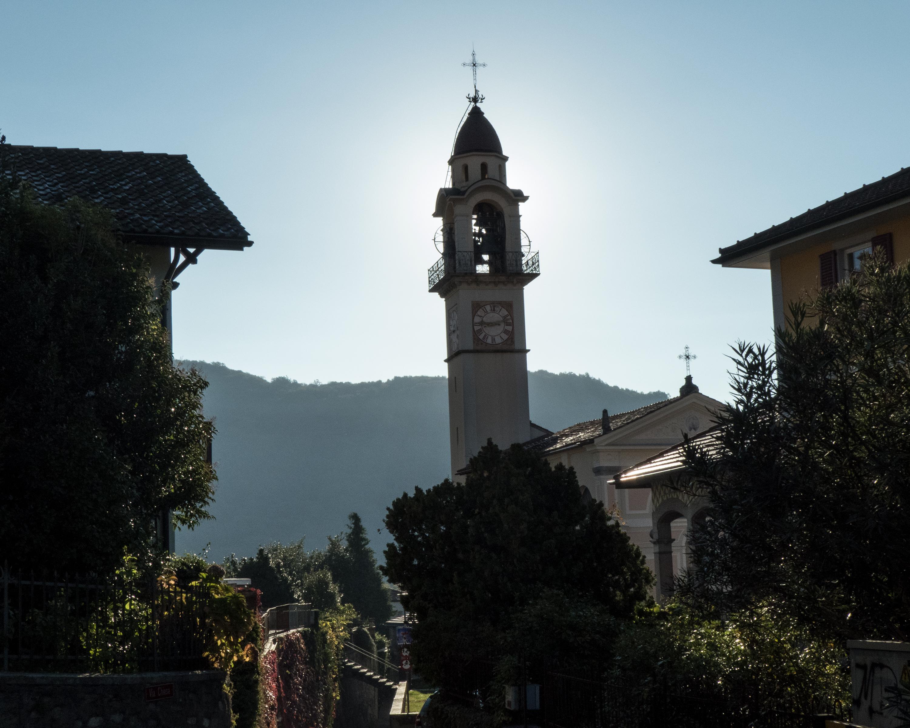
Wanderung in Luganersee
Sentiero Lago di Lugano
Regionale Route Nr. 52, Lugano (Magliaso) – Mendrisio
Beschreibung
Regionale Route
Nr. 52 (Lugano (Magliaso) – Mendrisio)
Länge
135 km
Aufstieg • Abstieg
↑ 9000 m • ↓ 9600 m
Tiefster Punkt • Höchster Punkt
271 m • 2116 m
Technik
mittel
Kondition
schwer
Regionale Route Nr. 52: Sentiero Lago di Lugano
Etappen
0. Lugano (Magliaso) – Miglieglia
0. Miglieglia – Cap. Tamaro
0. Lugano (Paradiso) – Morcote
0. Cap. Tamaro – Medeglia
0. Riva S. Vitale (M. Generoso) – Mendrisio
0. Cap. M. Bar – Cap. Pairolo
0. Medeglia – Cap. M. Bar
0. Morcote – Riva S. Vitale (Capolago)
0. Cap. Pairolo – Lugano (M. Brè)
Wer diese neun Etappen erwandert hat, kennt das Sottoceneri durch und durch: Von den Voralpenbergen bis zum mediterranen Uferweg, von der Berghütte bis zum rebenumrankten Grotto präsentiert sich das Sottoceneri in seiner ganzen Vielfalt.
Anmerkungen zu diesen Informationen?
Wir freuen uns über Ihr Feedback!
Präsentiert von
Route
Höhenprofil
Wetter:
Mehr...
Anmerkungen zu dieser Aktivität oder diesem Ort?
Falsche Angaben
Fehlende Informationen
Anderes Thema
Vielen Dank für dein Feedback!
Schliessen

..Mendrisio&freizeit=1&noweather=1&width=400&height=200&x_axis_display=distance&polyline=yqmj%40weuDeQ%3Ftt%40iYoCc%7CAdx%40v%5DkLewAx%60%40c%7C%40yJqyAmUuaAbKqyAgk%40%7Bc%40QoyApv%40s_%40gBmyAqEk%7B%40F%7ByAb%5B%7Dv%40cIwyAtYs%5CyLyxA%7Cn%40%7Bk%40mToyA%7E%40eh%40_GiyAqt%40%7Bv%40mFmyA%7Dg%40waAjAmzAo%40qaAu%40gyAkOcnAgO%7DxA_OcnAxCczAuAygAoJ%7BxAshAs_%40pDqyAmS%7BSzKmyAua%40ez%40fJoyA%7Ba%40%60E%7CMoyAuYsb%40hOsyAmTwMdPwyAus%40rb%40fKuyAgYkd%40HqyAza%40eeA%7BA%7BxAUc_%40qEsyAmaArMmHyyAoUx%5DuOmyAuV%7EYiIkyAwh%40rq%40%7CNkyAqs%40nKxLuyAmr%40%7Ef%40jE_zA%60Lbh%40yH%7DxAnCbj%40uJgyAwn%40%7Cc%40NuyAwZkXiOiyAeXps%40eIsyAep%40uaAcF%7DyAk_AdJ_CqyAiNax%40kFayAwnAmVv%40myAqsAsIv%40qyAmeAqa%40iQiyAwt%40jk%40iEoyAc%5EfnA%60N_zAmb%40bmApNeyA%7E%5BzlAd%40kyAdSjiAqDmyAp%7E%40%7Cd%40cAczAdbAeEfIcyAnq%40bUlEsyAt%7C%40no%40kAkyAbx%40%60n%40rFgyAzW%7Cw%40dGqyAnHb_AsQqyAaAbu%40nOkyAj%5Crb%40%7CRsyAh%7D%40lm%40FyyA%7EgAhLj%5BezAhpAtPvI%7ByAdl%40dx%40%40axAVvkAiE%7ByAkQfZoTwyArYvm%40iGayAxT%7Ev%40jNiyA%7Ck%40z%60A%5BsyAyCh%7B%40gD%7BzAnh%40%60fAqCmxAvl%40bn%40nGoyAuDhbAzPmyAgdA%7DKdD%7B%7EA%7Bg%40hBiB%7BsA_Vb%5CwQyyAsKbp%40sMcyAoQbj%40mAuyAmOjgAdJqyAec%40ve%40%7CGmyAci%40ql%40fNmyA%7Dg%40iu%40rBu%7DA%7BIdaAqDguAwp%40lgAsTkzAqTgcAkLuxAuOatAoLezAso%40%7D%7E%40_L%7DxAcj%40ucA_KqyA%7Db%40_WwB%7ByAsa%40zw%40fT%7BxAoQb%7D%40zUoyAwXbVnOsyAuUho%40i%40myAvAvaAtC_zAzT%60u%40E%7DxAfEd%7D%40cAoyA%60Yfc%40%60DsyA%7Cd%40fo%40nAiyAnSdRhGwyAteAjB%7DAiyA%60pAwKk%40qzAhg%40mn%40%60EkxA)