DE
FR
IT
EN
Elenco
Meteo
Mappa
Orario
Tempo libero
TV
Cinema
Neve
Ricerca Web
Applicazione
Più
Informazioni personali »
Accesso:
Registratevi
Dimenticata la password
o
Accedi con local.ch
Accedi con Apple
Accedi con Facebook
Accedi con Google
Accedi con LinkedIn
Si prega di prendere atto che si applicano le nostre nuove
informative sulla protezione dei dati
, così come le
condizioni di utilizzo
modificate.
Tempo libero
Bicicletta a Glarona
Alpine Panorama Route, Stage 3/9
Percorso nazionale N. 4, Tappa 3: Glarus – Flüelen
Descrizione
Percorso nazionale
N. 4 (St. Margrethen – Aigle)
Lunghezza
68 km
Salite • Discesa
↑ 1600 m • ↓ 1650 m
Punto più basso • Punto più alto
433 m • 1948 m
Forma fisica
difficile
Percorso nazionale N. 4:
Percorso panoramico delle Alpi
Tappe
0. Appenzell – Glarus
0. Sörenberg – Thun
0. Variante Sörenberg – Schangnau
0. Flüelen – Sörenberg
0. Glarus – Flüelen
0. St. Margrethen – Appenzell
0. Fribourg – Montbovon
0. Montbovon – Aigle
0. Thun – Fribourg
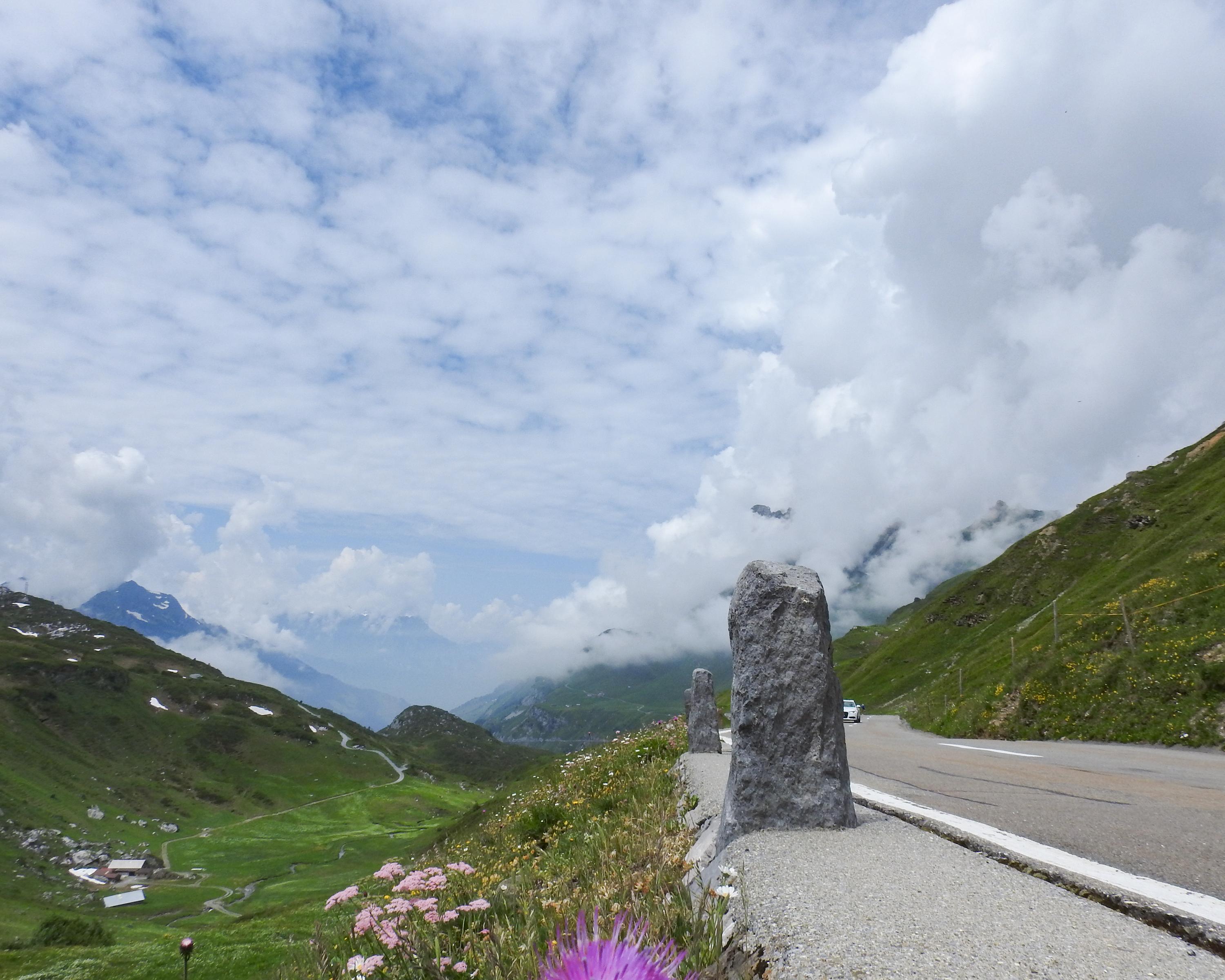
On the climb to the Klausenpass, the Urnerboden, the largest Swiss alp, the other side of the 1948m pass the Schächental, a mountain landscape with the traditional farming method of moving livestock from one grazing ground to the next.
Commenti su queste informazioni?
Non vediamo l'ora di ricevere il suo feedback!
Presentato da
Itinerario
Grafico altezza
Meteo:
Più...
Commenti su questa attività o luogo?
Informazioni errate
Informazioni mancanti
Un altro tema
Grazie per il tuo commento!
Chiudi