search.ch

Alpine Panorama Route, Stage 2/9

Percorso nazionale N. 4, Tappa 2: Appenzell – Glarus
  • Immagine 1

Descrizione

Percorso nazionale
N. 4 (St. Margrethen – Aigle)
Lunghezza
72 km
Salite • Discesa
↑ 1000 m • ↓ 1300 m
Punto più basso • Punto più alto
413 m • 1068 m
Forma fisica
difficile
Percorso nazionale N. 4: Percorso panoramico delle Alpi
Tappe
0. Appenzell – Glarus
0. Sörenberg – Thun
0. Variante Sörenberg – Schangnau
0. Flüelen – Sörenberg
0. Glarus – Flüelen
0. St. Margrethen – Appenzell
0. Fribourg – Montbovon
0. Montbovon – Aigle
0. Thun – Fribourg
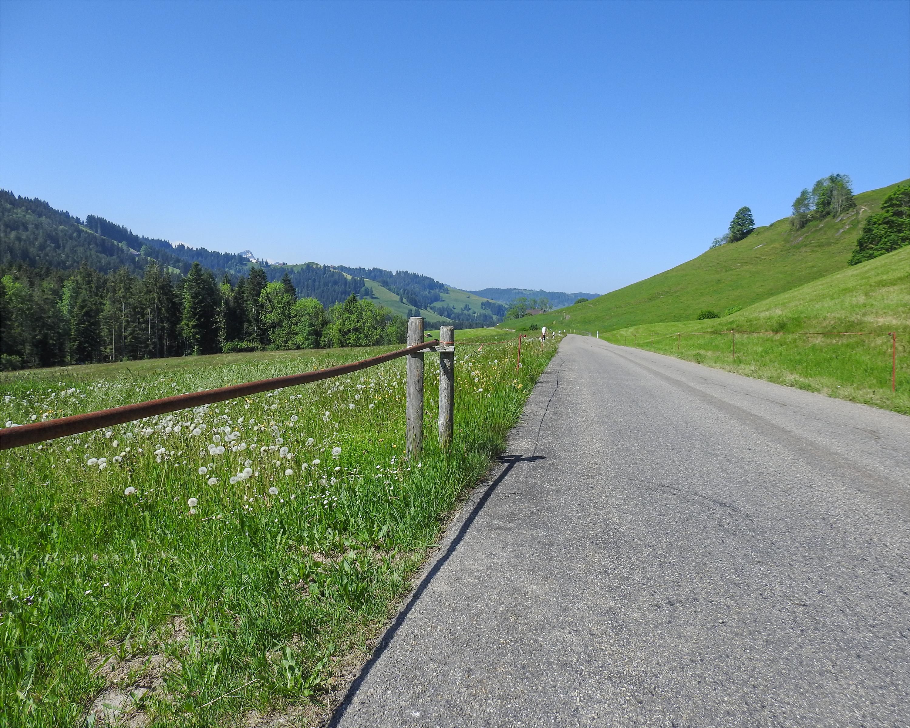
Rough and full of forests - that’s the Toggenburg Valley, a bumpy, rolling landscape away from the larger, often expensive holiday destinations. After passing the alluvial land of the Linth Plain and impressive limestone cliffs, it ends in a world that used to be famous for textile production.

Itinerario

Grafico altezza

Meteo:

Commenti su questa attività o luogo?

Grazie per il tuo commento!