DE
FR
IT
EN
Directory
Weather
Map / Route
Timetable
Leisure
TV guide
Cinema
Snow
Web search
Apps
More
Personal Data »
Login:
Register
Password forgotten
or
Log in with local.ch
Log in with Apple
Log in with Facebook
Log in with Google
Log in with LinkedIn
Please note that our new
privacy statement
as well as the revised
terms and conditions of use
apply.
Leisure
Hike in Emmental
Alpine Panorama Trail, Stage 16/29
National route No. 3, Stage 16: Moosegg – Münsingen
Description
National route
No. 3 (Rorschach – Genève)
Length
19 km
Ascent • Descent
↑ 440 m • ↓ 860 m
Lowest point • Highest point
531 m • 1114 m
Hiking time
5 h
Grade
easy
Fitness level
difficult
National route No. 3:
Alpine Panorama Trail
Stages
0. Amden – Siebnen
0. Stein SG – Amden
0. Les Paccots – Vevey (Corseaux)
0. Aubonne – Nyon
0. Jaun – Gruyères
0. Bogis-Bossey – Genève
0. Siebnen – Einsiedeln
0. Einsiedeln – Unterägeri
0. Malters – Wolhusen
0. Wolhusen – Napf
0. Luzern – Malters
0. Napf – Lüderenalp
0. Münsingen – Rüeggisberg
0. Moosegg – Münsingen
0. Lüderenalp – Moosegg
0. Guggisberg – Schwarzsee
0. Nyon – Bogis-Bossey
0. Trogen – Appenzell
0. Lausanne – Morges
0. Appenzell – Schwägalp
0. Rorschach – Trogen
0. Gruyères – Les Paccots
0. Unterägeri – Zug
0. Schwarzsee – Jaun
0. Morges – Aubonne
0. Schwägalp – Stein SG
0. Rüeggisberg – Guggisberg
0. Zug – Luzern
0. Vevey (Corseaux) – Lausanne
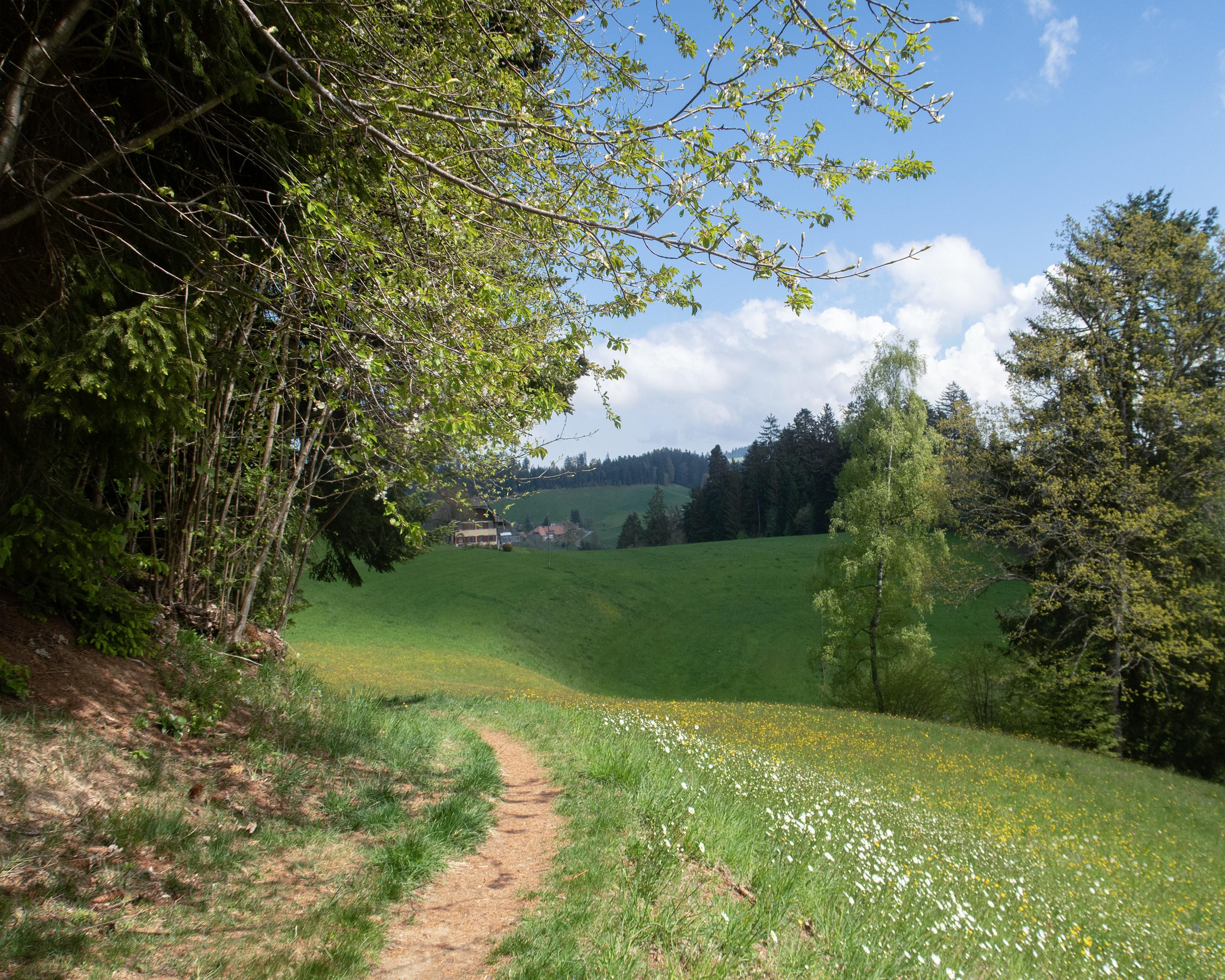
The villages get larger, the hills rounder and lower, but the views remain. After a short climb to the Blasenfluh, the rest of the hike is almost merely a pleasant downhill stroll to the wide Aaretal valley at Münsingen.
Comments on this information?
We welcome your feedback!
Presented by
Route
Height profile
Weather:
More...
Comments about this activity or place?
Incorrect information
Missing information
Another topic
Thank you for your feedback!
Close