search.ch

Alpine Panorama Trail, Stage 13/29

National route No. 3, Stage 13: Wolhusen – Napf
  • Image 1

Description

National route
No. 3 (Rorschach – Genève)
Length
17 km
Ascent • Descent
↑ 1100 m • ↓ 280 m
Lowest point • Highest point
570 m • 1403 m
Hiking time
5 h 30 min
Grade
easy
Fitness level
difficult
National route No. 3: Alpine Panorama Trail
Stages
0. Gruyères – Les Paccots
0. Guggisberg – Schwarzsee
0. Nyon – Bogis-Bossey
0. Vevey (Corseaux) – Lausanne
0. Lüderenalp – Moosegg
0. Unterägeri – Zug
0. Amden – Siebnen
0. Zug – Luzern
0. Rorschach – Trogen
0. Trogen – Appenzell
0. Jaun – Gruyères
0. Les Paccots – Vevey (Corseaux)
0. Aubonne – Nyon
0. Stein SG – Amden
0. Siebnen – Einsiedeln
0. Einsiedeln – Unterägeri
0. Bogis-Bossey – Genève
0. Lausanne – Morges
0. Münsingen – Rüeggisberg
0. Moosegg – Münsingen
0. Schwägalp – Stein SG
0. Wolhusen – Napf
0. Napf – Lüderenalp
0. Malters – Wolhusen
0. Luzern – Malters
0. Appenzell – Schwägalp
0. Schwarzsee – Jaun
0. Morges – Aubonne
0. Rüeggisberg – Guggisberg
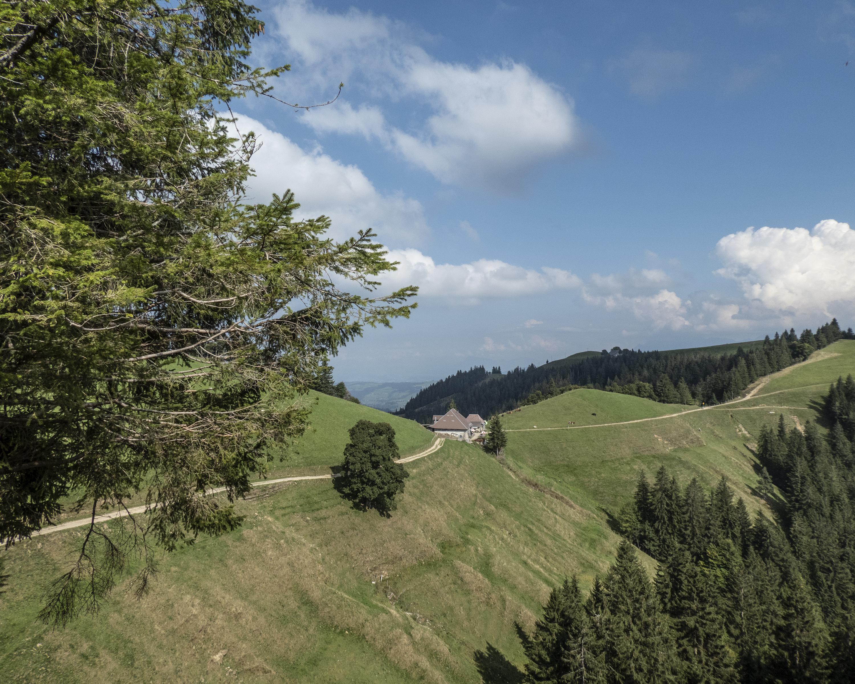
Many paths lead to the Napf - but no roads! One of the most beautiful approaches to the summit is the scenic range of hills via Menzberg. The panorama of the Alpine chain, Mittelland and Jura from the Napf is one of the most magnificent in Switzerland.

Height profile

Weather:

Comments about this activity or place?

Thank you for your feedback!