search.ch

Appenzeller Weg, Stage 3/3

Regional route No. 44, Stage 3: Urnäsch – St. Peterzell
  • Image 1

Description

Regional route
No. 44 (Rankweil (A) – St. Peterzell)
Length
11 km
Ascent • Descent
↑ 400 m • ↓ 520 m
Lowest point • Highest point
701 m • 1127 m
Hiking time
3 h 10 min
Grade
easy
Fitness level
medium
Regional route No. 44: Appenzeller Weg
Stages
0. Appenzell – Urnäsch
0. Urnäsch – St. Peterzell
0. Rankweil (A) – Appenzell
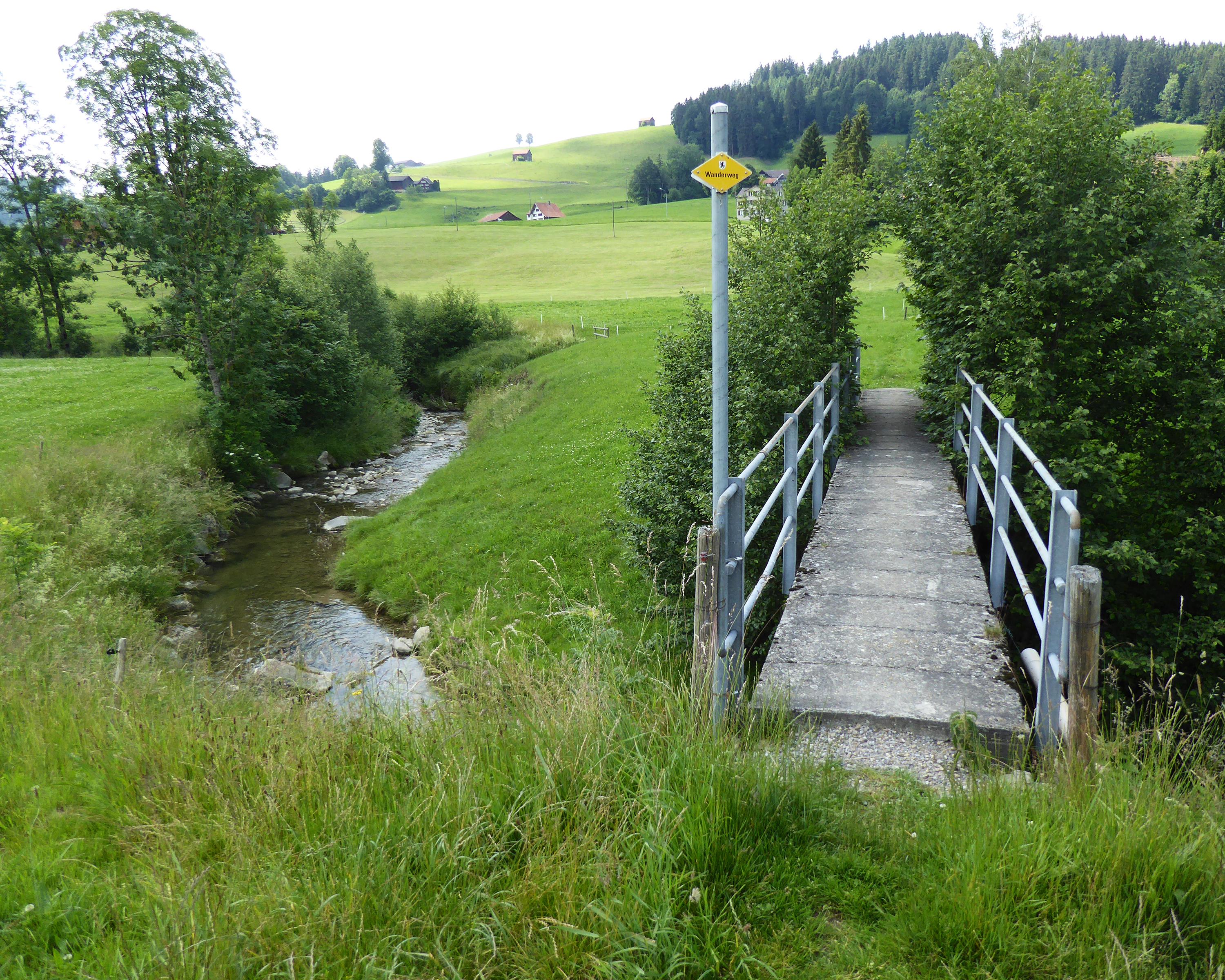
The route begins in tradition-steeped Urnäsch and passes through the historic textile area of Schönengrund before ending in St. Peterzell. The last section leads through the gentle rolling landscape and crosses the cantonal border from the Apenzell region to St. Gallen.

Height profile

Weather:

Comments about this activity or place?

Thank you for your feedback!