DE
FR
IT
EN
Directory
Weather
Map / Route
Timetable
Leisure
TV guide
Cinema
Snow
Web search
Apps
More
Personal Data »
Login:
Register
Password forgotten
or
Log in with local.ch
Log in with Apple
Log in with Facebook
Log in with Google
Log in with LinkedIn
Please note that our new
privacy statement
as well as the revised
terms and conditions of use
apply.
Leisure
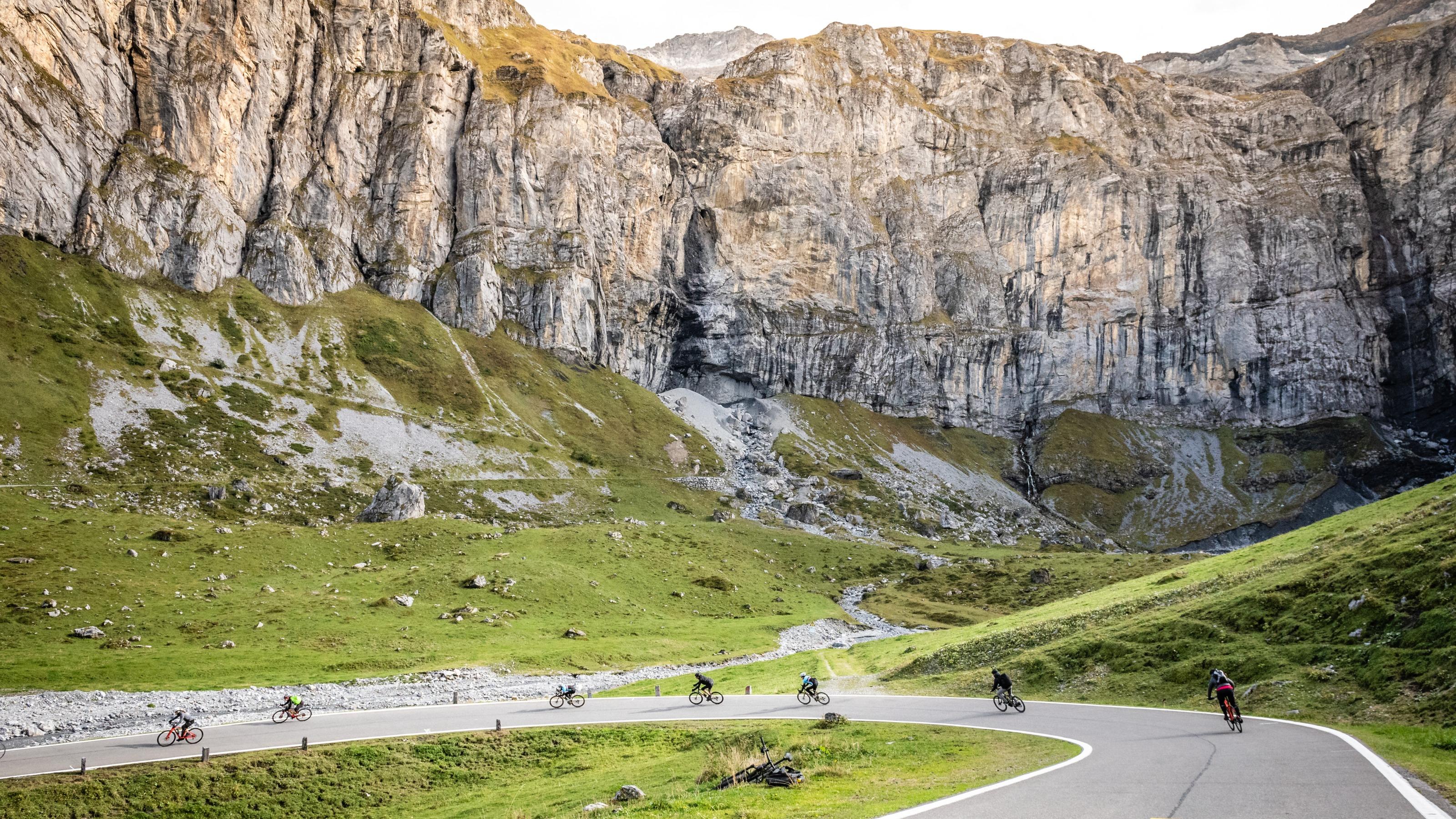
Biking in Eastern Switzerland / Liechtenstein
Alpine Panorama Route
National route No. 4, St. Margrethen – Aigle
Description
National route
No. 4 (St. Margrethen – Aigle)
Length
475 km
Ascent • Descent
↑ 9200 m • ↓ 9200 m
Lowest point • Highest point
401 m • 1948 m
Fitness level
difficult
National route No. 4: Alpine Panorama Route
Stages
0. Flüelen – Sörenberg
0. Glarus – Flüelen
0. Thun – Fribourg
0. Fribourg – Montbovon
0. Montbovon – Aigle
0. St. Margrethen – Appenzell
0. Appenzell – Glarus
0. Sörenberg – Thun
0. Variante Sörenberg – Schangnau
The Alpine Panorama Route crosses the northern Alpine foreland with its many passes and gorges, tradition-rich culture, settlements and mountain farms. The strenuous, stamina-testing trip is rewarded with spectacular views.
Comments on this information?
We welcome your feedback!
Presented by
Route
Height profile
Weather:
More...
Comments about this activity or place?
Incorrect information
Missing information
Another topic
Thank you for your feedback!
Close