search.ch

Trans Swiss Trail, Stage 24/32

National route No. 2, Stage 24: Passo del S. Gottardo – Airolo
  • Image 1

Description

National route
No. 2 (Porrentruy – Mendrisio)
Length
7 km
Ascent • Descent
↑ 20 m • ↓ 950 m
Lowest point • Highest point
1145 m • 2093 m
Hiking time
2 h
Grade
medium
Fitness level
difficult
National route No. 2: Trans Swiss Trail
Stages
0. Bellinzona – Tesserete
0. Wassen – Andermatt
0. Airolo – Osco
0. Lugano (Paradiso) – Morcote
0. Eggiwil – Schangnau
0. Anzonico – Biasca
0. Saignelégier – St-Imier
0. Passo del S. Gottardo – Airolo
0. Andermatt – Passo del S. Gottardo
0. St-Imier – Chézard St-Martin
0. Murten – Laupen
0. Porrentruy – Saint-Ursanne
0. Morcote – Mendrisio
0. Stans – Seelisberg
0. Schangnau – Sörenberg
0. Laupen – Bern
0. Biasca – Bellinzona
0. Giswil – Flüeli-Ranft
0. Saint-Ursanne – Soubey
0. Bern – Worb
0. Osco – Anzonico
0. Flüeli-Ranft – Stans
0. Worb – Lützelflüh
0. Sörenberg – Giswil
0. Erstfeld – Wassen
0. Chézard St-Martin – Neuchâtel
0. Lützelflüh – Langnau i.E.
0. Langnau i.E. – Eggiwil
0. Soubey – Saignelégier
0. Seelisberg – Erstfeld
0. Neuchâtel – Murten
0. Tesserete – Lugano (Comano)
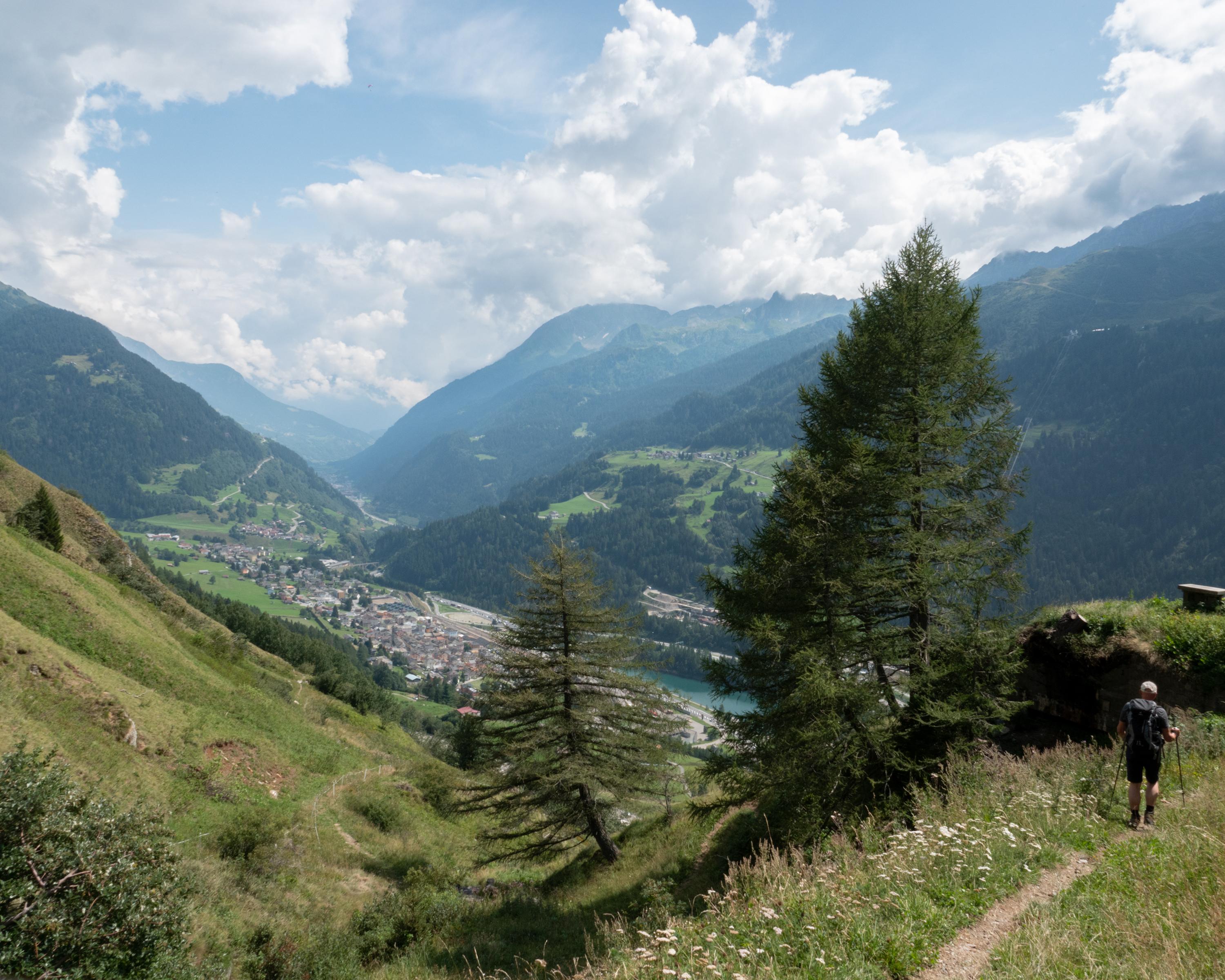
A steep mountain trail leads from the legendary Swiss Alpine pass down to the Leventina Valley. A spectacular Alpine landscape combined with amazing construction achievements from different eras and in close vicinity of the Tremola, a road with landmark designation.

Height profile

Weather:

Comments about this activity or place?

Thank you for your feedback!