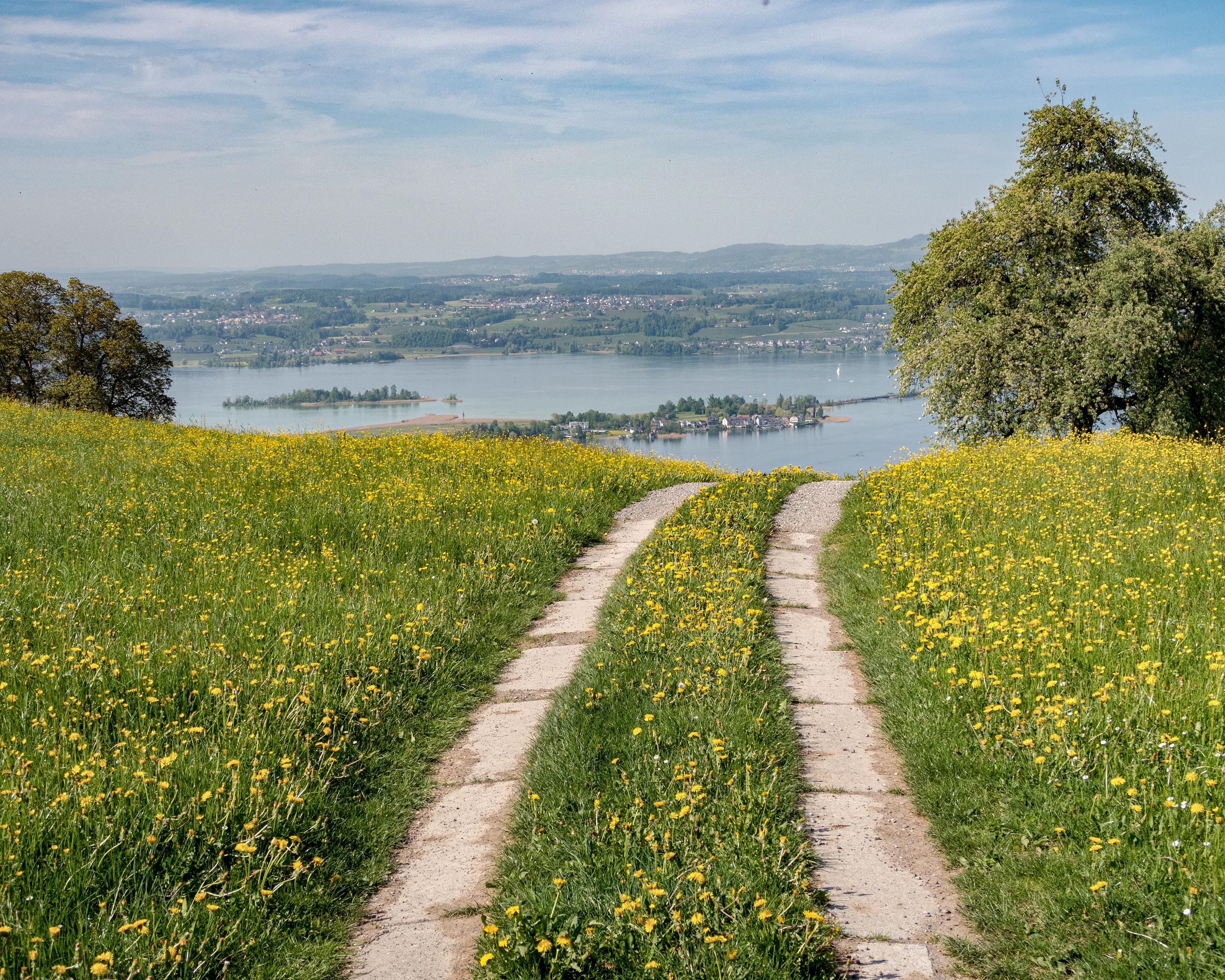
While the first half of this section is flat, the second part climbs high above Lake Zurich. Initially, the path is a paved road and leads across meadows and past residential areas through the rolling landscape. Bridges crossing a number of creeks and several chapels are a reminder of an old pilgrim’s path in this area.

&freizeit=1&noweather=1&width=400&height=200&x_axis_display=distance&polyline=yxjj%40gcxLyZ%3F%7EBbDE%7DE%60Cq%40%40mE%7EBwB%40mF%7EBwB%40wDlE%3FDoEtEk%40%40yErDmABoEjEaB%40aFpEs%40%3F%7BE%60FY%40aFlD%5B%3FoDlEU%3FoElE%5EAwEnEK%3FoEbEo%40%40qEzDaB%40_FnDRBcErCpCCuExEc%40%40_FbBwD%40mFXcD%40qE%7CDmACoErC_BCoDzDyAAsEbEkBA_FjDuA%40_EvEkB%3FqF%7EDsA%3FqErEuACcFnDw%40CyDxEq%40A_F%60E%7B%40AiE%7EEa%40AaFpCr%40CsD%60E%7E%40IkExE%40D%7BEnD%5ECkElD%3FF_FlDmBHmEpEgCJyFxB%7BBFmD%7EAoDDiESoDDkFxDm%40%3F_EvDeACqElFpAe%40%7BF%7EC%7C%40YkDhEh%40a%40mElE%5CYqEvDxAYqE%60E%60BA_FrE%7C%40U%7BEbEjAGsEzDt%40CcEpGRBqGtCTByCjC%7ECAeFjDvAOaEjEq%40DqEnEOBsErD_BJuEdDa%40BcElEk%40EyElED%5DsE%7ED%7BA%5DyEvDkA%5BmErEJMwEfEP%5BiEbEn%40%5BsE%60E%7C%40a%40mElDjBe%40sEvAlDk%40sEvClCYwElCxA%5BuEjDqBQsE%7CD%7EAK%7DE%60Dq%40C_ElE%7D%40I_FrEiADaF%7ED%7D%40FiEhE%5DJkE%7CD_%40DkEfEmABwEtEY%3FyE%60Ee%40GkExDPCiEbFqAEuFbDf%40GwDjDfBMkEnDnBWsExE%5CU%7BEhC%7E%40%5BsEtDmAa%40oElDLWkExCdDSqFbD%60BS_EzChCMoE%7EBjDUyEzCzBOgElDlBMmE)