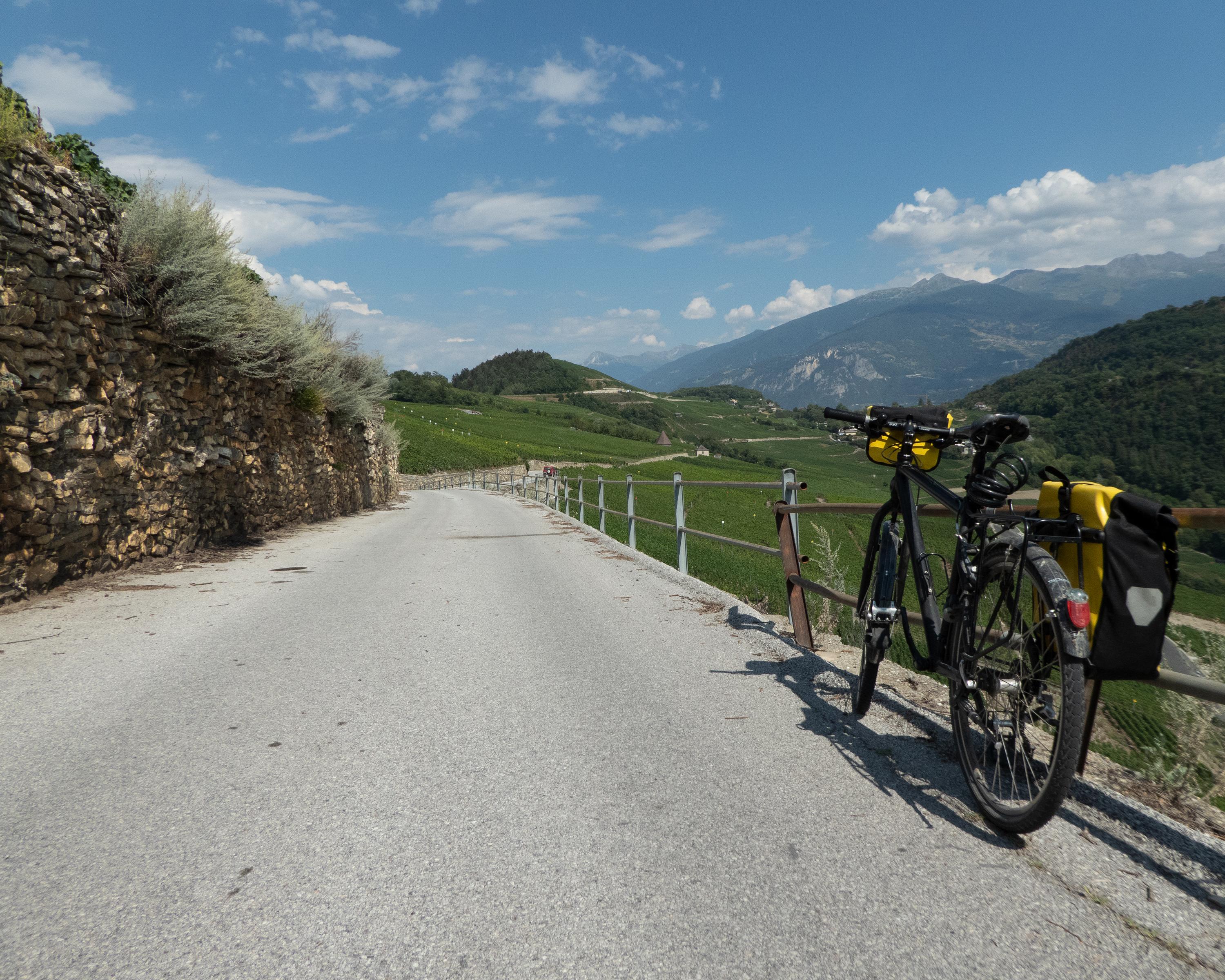
search.ch

Chemin du Vignoble, Stage 1/2

Percorso regionale N. 72, Tappa 1: Martigny – Sion
  • Immagine 1

Descrizione

Percorso regionale
N. 72 (Martigny – Leuk)
Lunghezza
35 km
Salite • Discesa
↑ 500 m • ↓ 300 m
Punto più basso • Punto più alto
456 m • 658 m
Forma fisica
medio
Percorso regionale N. 72: Chemin du Vignoble
Tappe
0. Sion – Leuk
0. Martigny – Sion
This route takes in vigorous ups and downs on the steep, sun-drenched steep southern slope before passing through well-tended vineyards, small wine-growing villages and historic areas such as Saillon, with the infamous forger Farinet’s mini vineyard, and the octagonal tower of St-Pierre-de-Clages in Chamoson.

Itinerario

Grafico altezza

Meteo:

Commenti su questa attività o luogo?

Grazie per il tuo commento!