search.ch

ViaJacobi, Stage 19/33

National route No. 4, Stage 19: Commugny – Genève
  • Image 1

Description

National route
No. 4 ()
Length
17 km
Ascent • Descent
↑ 200 m • ↓ 240 m
Lowest point • Highest point
373 m • 452 m
Hiking time
4 h 15 min
Grade
easy
Fitness level
medium
National route No. 4:
Stages
0. Fischingen – Rapperswil (SG)
0. Schwyz – Stans
0. Märstetten – Fischingen
0. Werthenstein – Willisau
0. Rapperswil (SG) – Einsiedeln
0. Huttwil – Burgdorf
0. Fribourg (Villars-sur-Glâne) – Payerne
0. Moudon – Lausanne
0. Commugny – Genève
0. Siebnen – Einsiedeln (St. Meinrad)
0. Wattwil (Neuhaus) – Siebnen
0. Kreuzlingen (Konstanz, D) – Märstetten
0. Stans – Flüeli-Ranft
0. Brünigpass – Interlaken
0. Bern (Bärengraben) – Rüeggisberg
0. Willisau – Huttwil
0. Einsiedeln – Schwyz
0. Herisau – Wattwil
0. Schwarzenburg – Fribourg
0. Interlaken – Spiez
0. Rorschach – Herisau
0. Wattenwil – Schwarzenburg
0. Flüeli-Ranft – Brünigpass
0. Romont (FR) – Moudon
0. Wattwil – Rapperswil (SG)
0. Payerne – Moudon (Curtilles)
0. Burgdorf – Bern (Bärengraben)
0. Fribourg – Romont (FR)
0. Lausanne – Rolle
0. Spiez – Wattenwil
0. Genève – Charrot (Grenze)
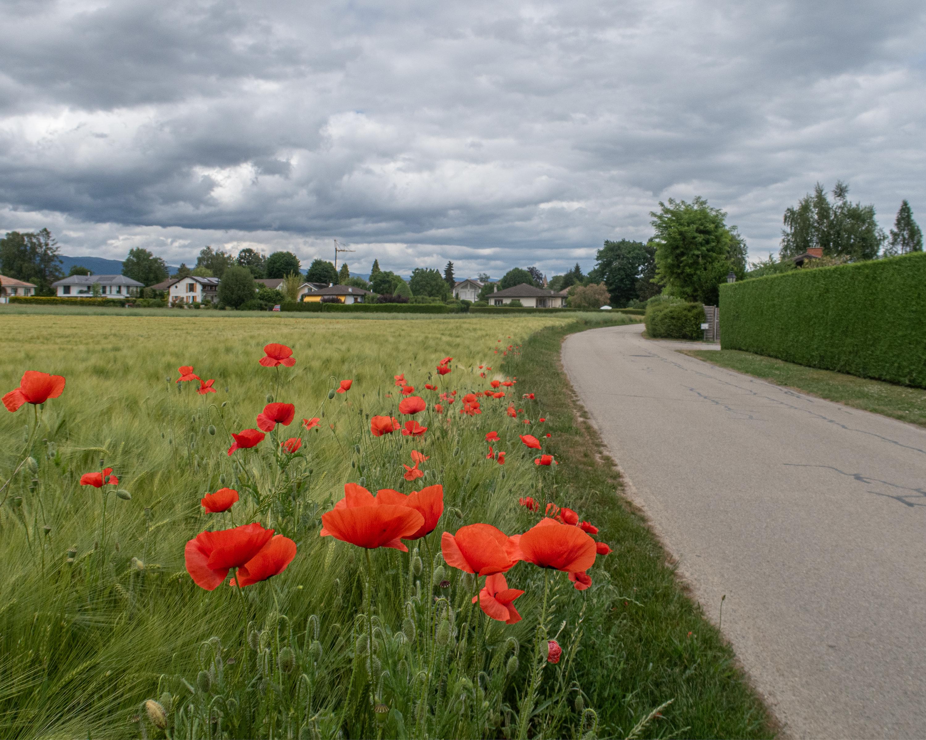
Along the western tip of Lake Geneva, this stage, with views of the lake and Alps, leads through villages with French flair to the cosmopolitan city of Geneva. The area has been inhabited for thousands of years. With the European headquarters of the UN, you pass a place where history is made today.

Height profile

Weather:

Comments about this activity or place?

Thank you for your feedback!