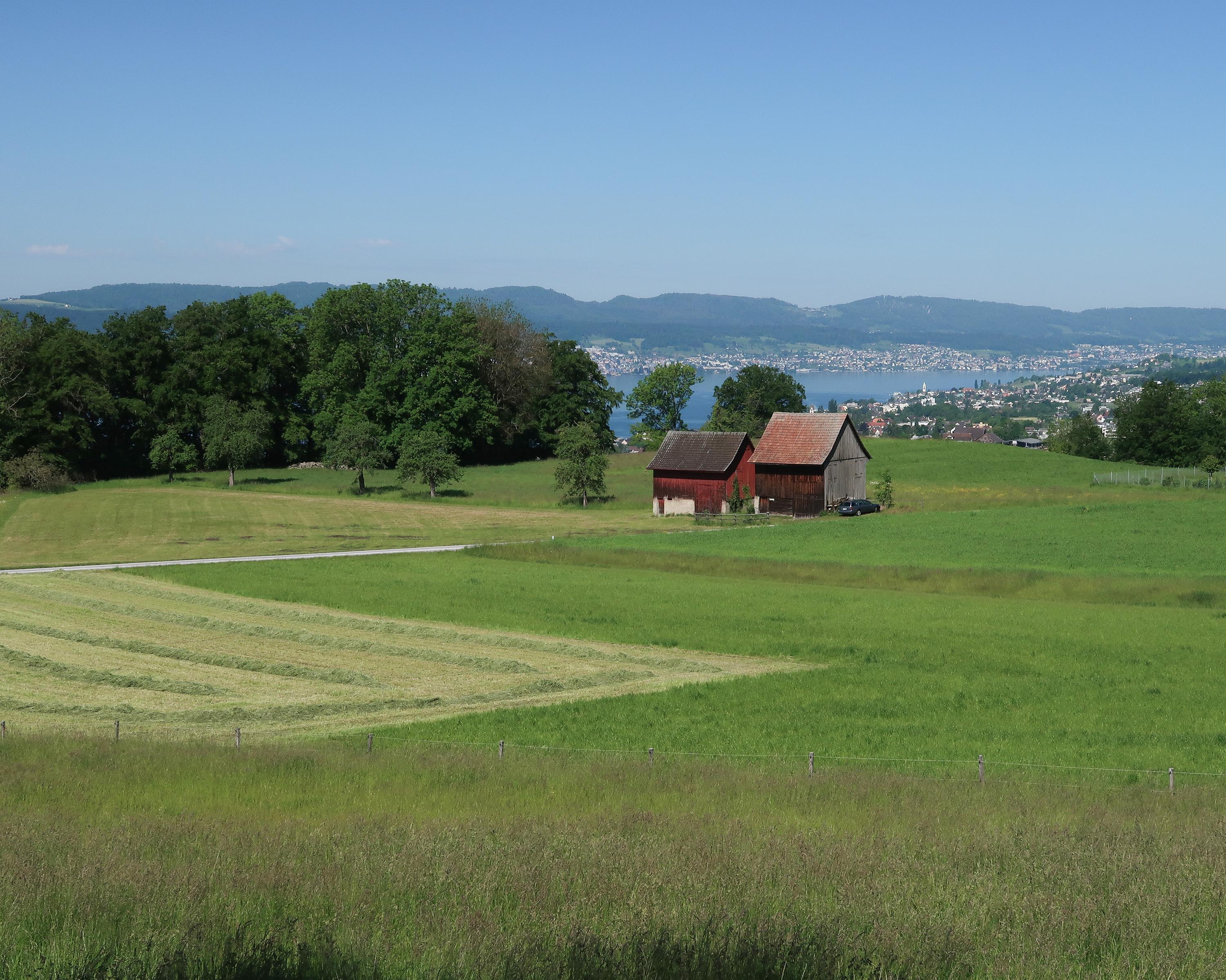
search.ch

Zürichsee-Rundweg, Stage 8/10

Percorso regionale N. 84, Tappa 8: Stäfa – Meilen
  • Immagine 1

Descrizione

Percorso regionale
N. 84 (Zürich, Bürkliplatz – Zürich, Bürkliplatz)
Lunghezza
13 km
Salite • Discesa
↑ 400 m • ↓ 380 m
Punto più basso • Punto più alto
409 m • 586 m
Tempo di marcia
3 h 30 min
Tecnica
facile
Forma fisica
medio
Percorso regionale N. 84: Zürichsee-Rundweg
Tappe
0. Küsnacht ZH – Zürich, Bürkliplatz
0. Rapperswil SG – Stäfa
0. Meilen – Küsnacht ZH
0. Richterswil – Pfäffikon SZ
0. Zürich, Bürkliplatz – Adliswil
0. Schmerikon – Rapperswil SG
0. Pfäffikon SZ – Schmerikon
0. Adliswil – Horgen
0. Horgen – Richterswil
0. Stäfa – Meilen
Standing on the southern foothills of the Pfannenstiel, you would hardly know that you were right in the middle of Switzerland’s largest urban area. Passing above the houses and traffic of the lakeside communities, the route takes you across vineyards and meadows, through forests and finally down a ravine.

Itinerario

Grafico altezza

Meteo:

Commenti su questa attività o luogo?

Grazie per il tuo commento!