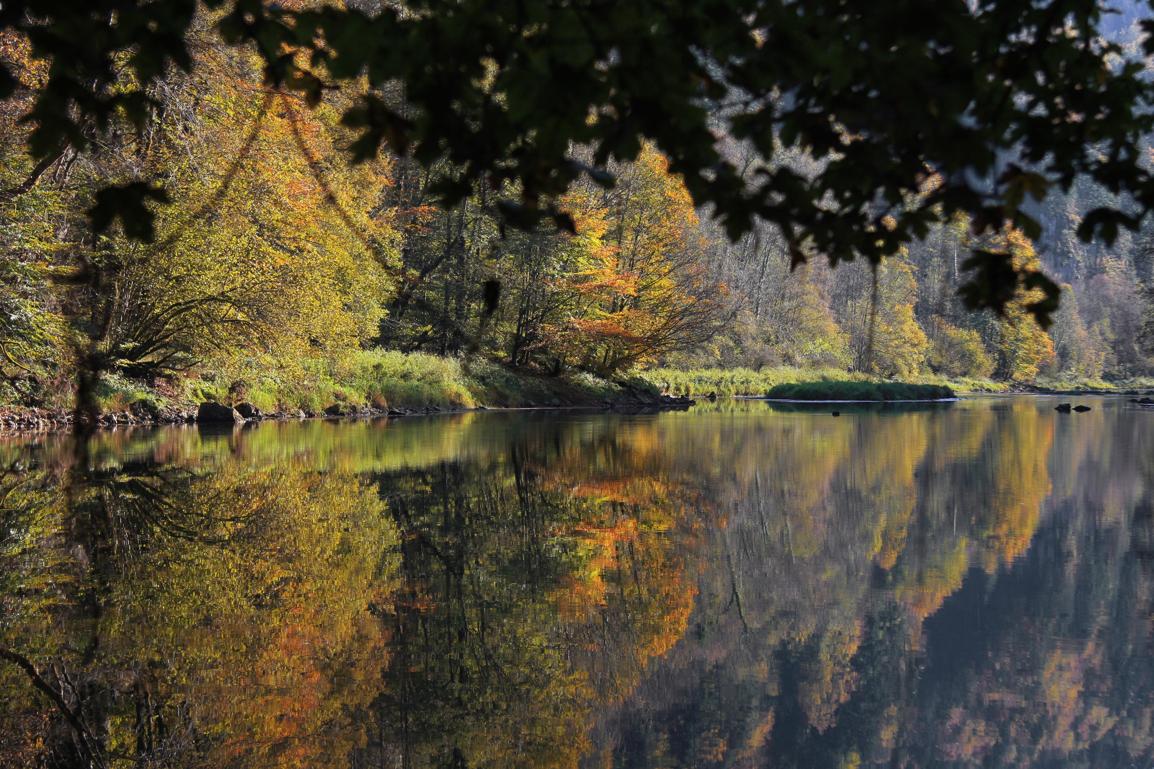
search.ch

Au fil du Doubs, Stage 4/4

Percorso regionale N. 95, Tappa 4: Soubey – Saint-Ursanne
  • Immagine 1

Descrizione

Percorso regionale
N. 95 (Les Brenets – Saint-Ursanne)
Lunghezza
15 km
Salite • Discesa
↑ 220 m • ↓ 260 m
Punto più basso • Punto più alto
432 m • 484 m
Tempo di marcia
3 h 45 min
Tecnica
facile
Forma fisica
medio
Percorso regionale N. 95: Au fil du Doubs
Tappe
0. Les Brenets – Maison Monsieur
0. Soubey – Saint-Ursanne
0. Maison Monsieur – Goumois
0. Goumois – Soubey
Just before St. Ursanne, the Doubs makes a sharp 180-degree arc as it if were unsure where to go. Perhaps this radical change of direction is the reason why the Romans called the meandering river the Doubs. The word comes from the Latin dubitus, the hesitant, the doubting.

Itinerario

Grafico altezza

Meteo:

Commenti su questa attività o luogo?

Grazie per il tuo commento!