search.ch

Alpine Panorama Trail, Stage 3/29

National route No. 3, Stage 3: Appenzell – Schwägalp
  • Image 1

Description

National route
No. 3 (Rorschach – Genève)
Length
16 km
Ascent • Descent
↑ 1150 m • ↓ 580 m
Lowest point • Highest point
778 m • 1658 m
Hiking time
5 h 30 min
Grade
easy
Fitness level
difficult
National route No. 3: Alpine Panorama Trail
Stages
0. Bogis-Bossey – Genève
0. Siebnen – Einsiedeln
0. Les Paccots – Vevey (Corseaux)
0. Aubonne – Nyon
0. Malters – Wolhusen
0. Luzern – Malters
0. Napf – Lüderenalp
0. Münsingen – Rüeggisberg
0. Moosegg – Münsingen
0. Wolhusen – Napf
0. Gruyères – Les Paccots
0. Unterägeri – Zug
0. Rüeggisberg – Guggisberg
0. Amden – Siebnen
0. Lüderenalp – Moosegg
0. Guggisberg – Schwarzsee
0. Nyon – Bogis-Bossey
0. Rorschach – Trogen
0. Trogen – Appenzell
0. Zug – Luzern
0. Vevey (Corseaux) – Lausanne
0. Appenzell – Schwägalp
0. Lausanne – Morges
0. Stein SG – Amden
0. Jaun – Gruyères
0. Schwägalp – Stein SG
0. Schwarzsee – Jaun
0. Morges – Aubonne
0. Einsiedeln – Unterägeri
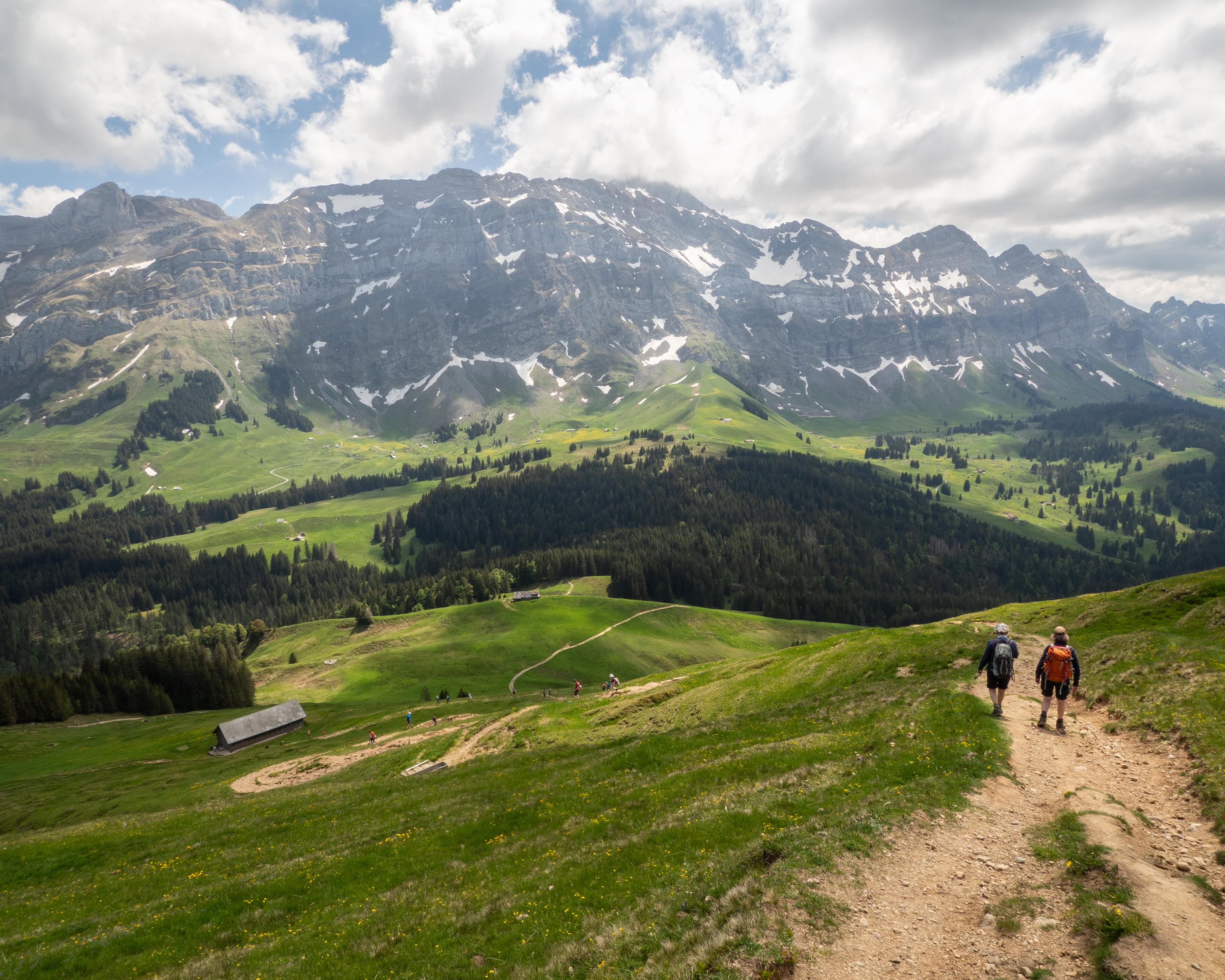
From the main town of Appenzell in Innerrhoden, the trail climbs to Alp Wasserschaffen. The summit is reached on the Kronberg ridge - parallel to the Alpstein and with a suitably fantastic view. The trail then descends through the rustic alpine landscape to Schwägalp, the valley station of the Säntis cable car.

Height profile

Weather:

Comments about this activity or place?

Thank you for your feedback!