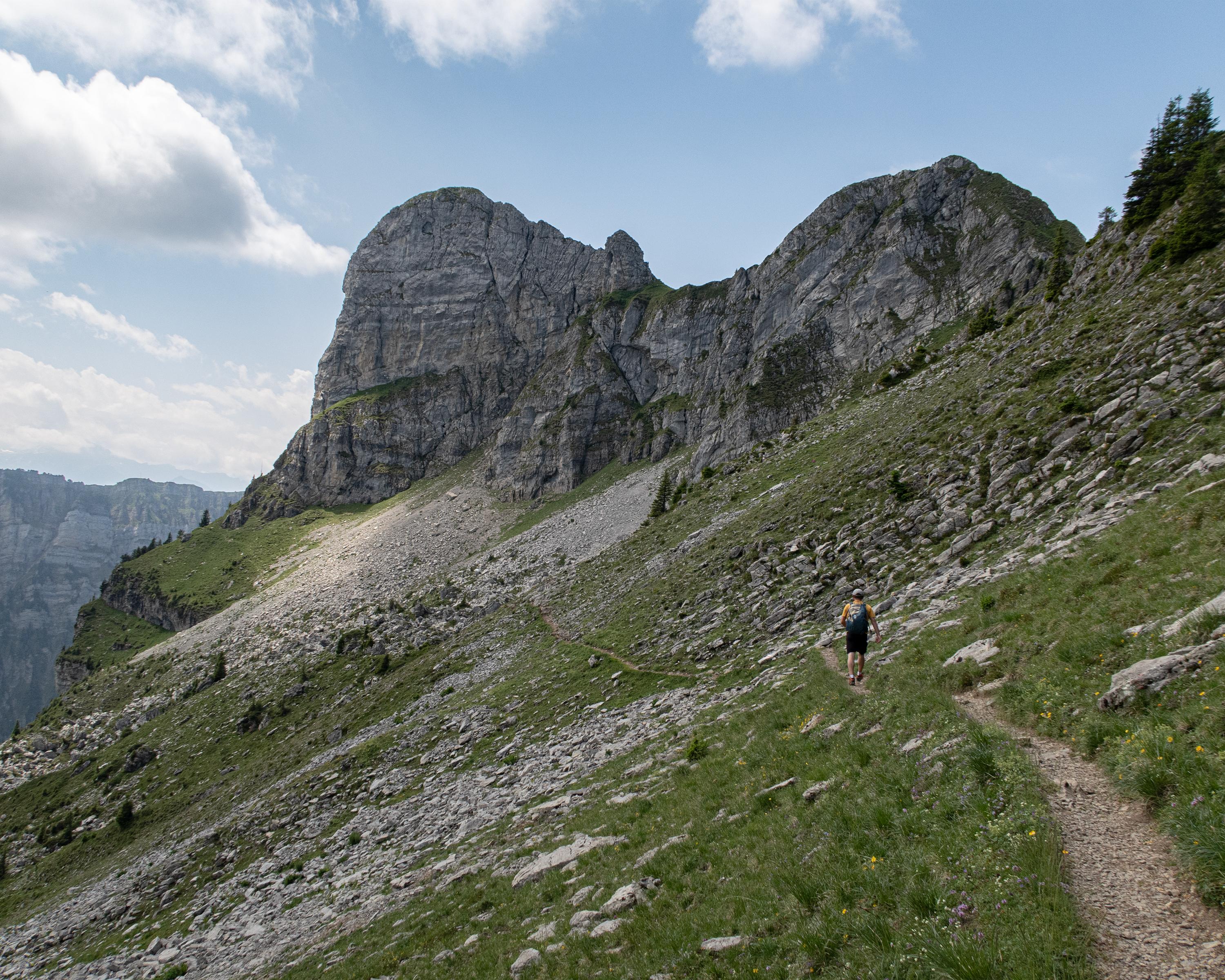
search.ch

Sigriswiler Rothorn Panoramaweg

Percorso locale N. 326, Tappa 6: Schwanden, Säge – Schwanden, Säge
  • Immagine 1

Descrizione

Percorso locale
N. 326
Lunghezza
12 km
Salite • Discesa
↑ 1150 m • ↓ 1150 m
Punto più basso • Punto più alto
1077 m • 2051 m
Tempo di marcia
5 h
Tecnica
medio
Forma fisica
difficile
This route takes hikers through a hilly landscape of forests and alpine meadows up to the steep limestone cliffs of the Sigriswiler Rothorn mountain chain. Here the view stretches far and wide to the Jura and to the many fourthousand metre peaks of the Bernese Oberland.

Informazioni sulla prenotazione

Itinerario

Grafico altezza

Meteo:

Interlaken Tourismus

Commenti su questa attività o luogo?

Grazie per il tuo commento!