search.ch

ViaJacobi, Stage 16/33

Percorso nazionale N. 4, Tappa 16: Moudon – Lausanne
  • Immagine 1

Descrizione

Percorso nazionale
N. 4 ()
Lunghezza
30 km
Salite • Discesa
↑ 760 m • ↓ 740 m
Punto più basso • Punto più alto
510 m • 906 m
Tempo di marcia
7 h 50 min
Tecnica
facile
Forma fisica
difficile
Percorso nazionale N. 4:
Tappe
1. Rorschach – Herisau
2. Herisau – Wattwil
3. Wattwil – Rapperswil (SG)
4. Rapperswil (SG) – Einsiedeln
5. Einsiedeln – Schwyz
6. Schwyz – Stans
7. Stans – Flüeli-Ranft
8. Flüeli-Ranft – Brünigpass
9. Brünigpass – Interlaken
10. Interlaken – Spiez
11. Spiez – Wattenwil
12. Wattenwil – Schwarzenburg
13. Schwarzenburg – Fribourg
14. Fribourg – Romont (FR)
15. Romont (FR) – Moudon
16. Moudon – Lausanne
17. Lausanne – Rolle
19. Commugny – Genève
20. Genève – Charrot (Grenze)
21. Kreuzlingen (Konstanz, D) – Märstetten
22. Märstetten – Fischingen
23. Fischingen – Rapperswil (SG)
26. Werthenstein – Willisau
27. Willisau – Huttwil
28. Huttwil – Burgdorf
29. Burgdorf – Bern (Bärengraben)
30. Bern (Bärengraben) – Rüeggisberg
32. Fribourg (Villars-sur-Glâne) – Payerne
33. Payerne – Moudon (Curtilles)
34. Neuhaus SG – Siebnen
35. Siebnen – St. Meinrad (Etzelpass)
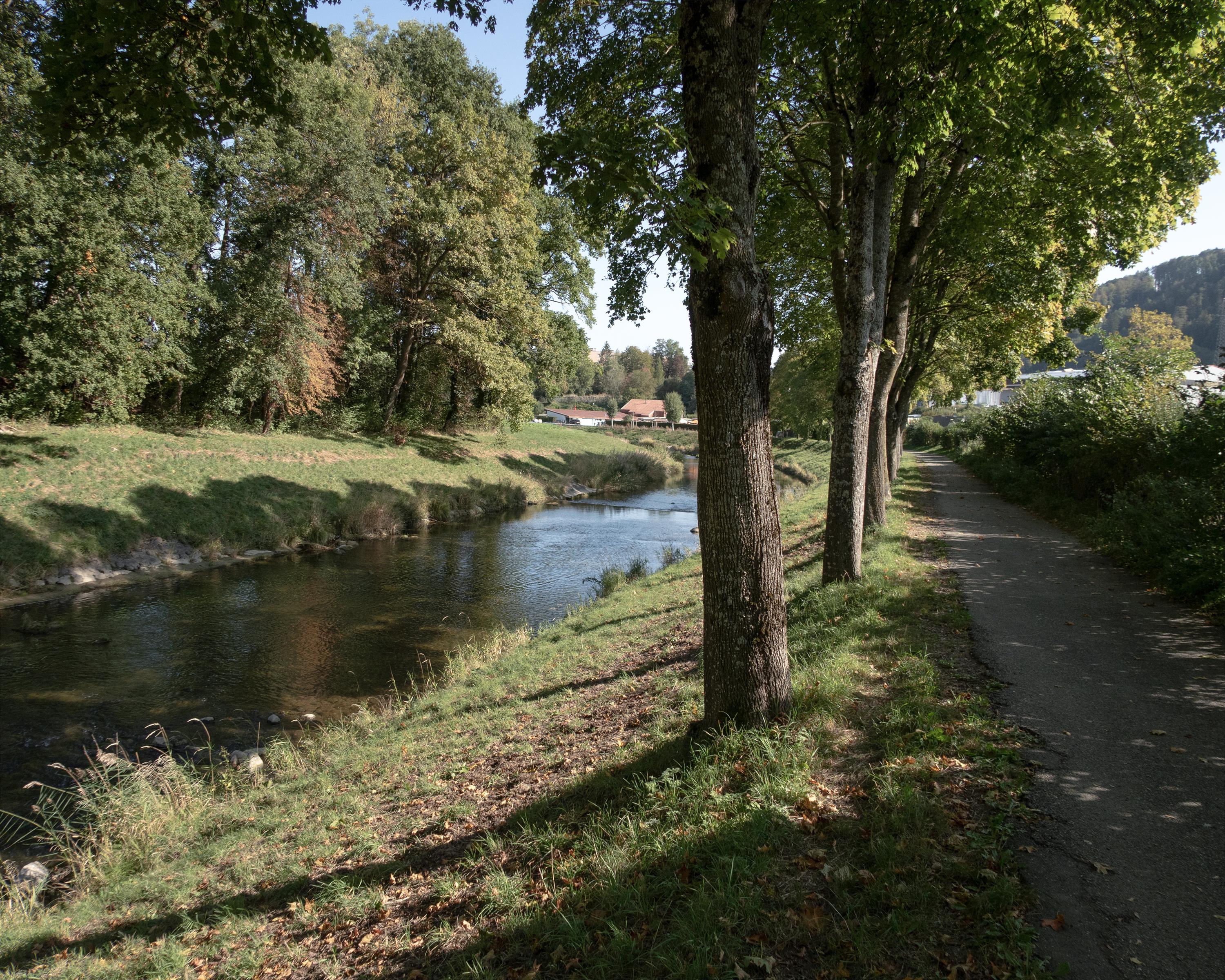
Walking along the river, you will come to some bridges in Bressonnaz, where you can cross both the river Broye and the river Carrouge. On the way to Vucherens, you will enjoy unobstructed views of the Fribourg Alps and the Jorat woods. When descending towards Lausanne, you will see the Savoy Alps and Lake Geneva.

Itinerario

Grafico altezza

Meteo:

Commenti su questa attività o luogo?

Grazie per il tuo commento!