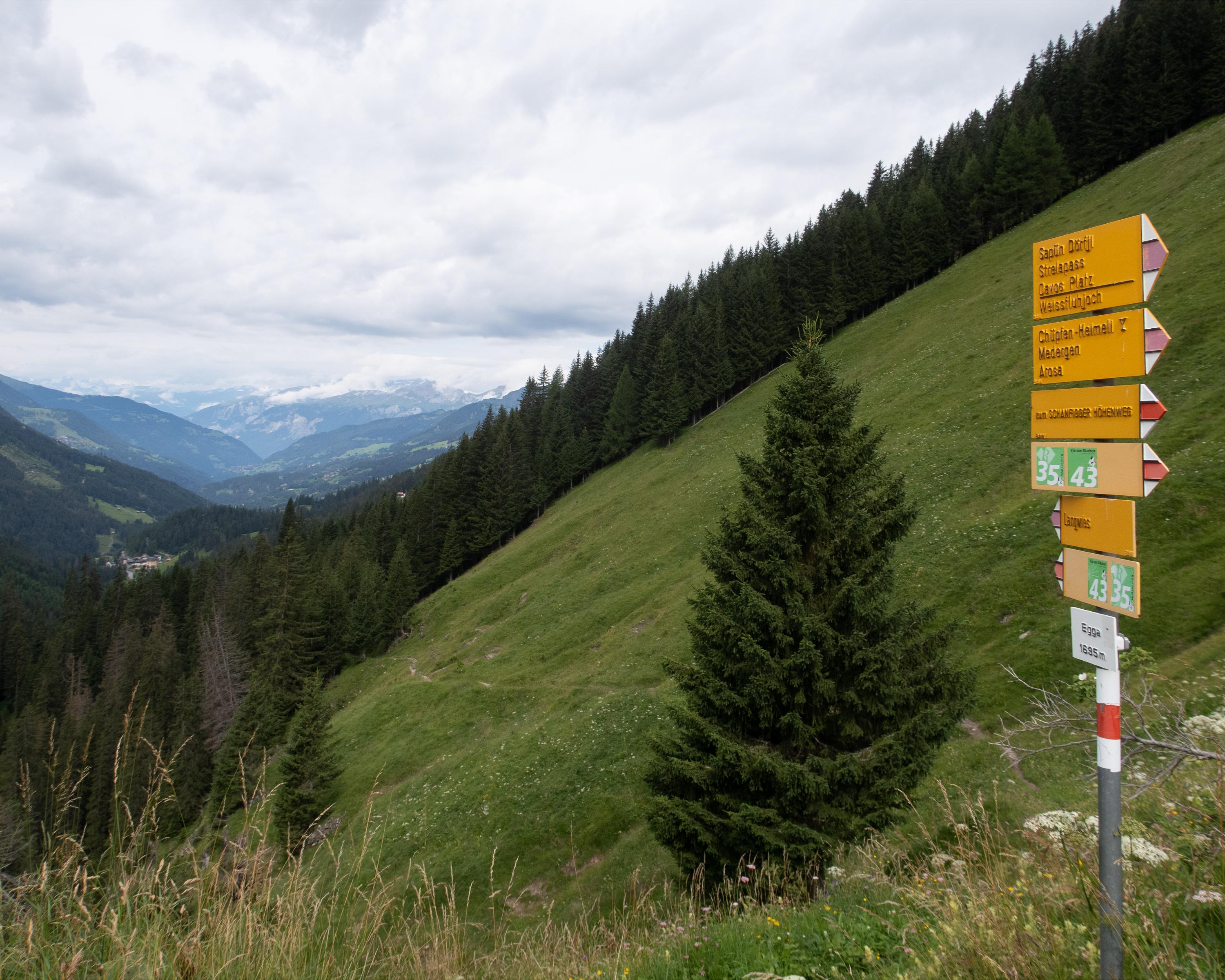
DE
FR
IT
EN
Elenco
Meteo
Mappa
Orario
Tempo libero
TV
Cinema
Ricerca Web
Applicazione
Più
Informazioni personali »
Accesso:
Registratevi
Dimenticata la password
o
Accedi con local.ch
Accedi con Apple
Accedi con Facebook
Accedi con Google
Accedi con LinkedIn
Si prega di prendere atto che si applicano le nostre nuove
informative sulla protezione dei dati
, così come le
condizioni di utilizzo
modificate.
Tempo libero
Escursioni a Engadin Samnaun Val Müstair
Jakobsweg Graubünden
Percorso regionale N. 43, Müstair – Oberalppass
Descrizione
Percorso regionale
N. 43 (Müstair – Oberalppass)
Lunghezza
260 km
Salite • Discesa
↑ 11100 m • ↓ 10300 m
Punto più basso • Punto più alto
575 m • 2606 m
Tecnica
medio
Forma fisica
medio
Percorso regionale N. 43: Jakobsweg Graubünden
Tappe
1. Müstair – Lü
2. Lü – S-charl
3. S-charl – Scuol
4. Scuol – Guarda
5. Guarda – Zernez
6. Zernez – S-chanf (Cinous-chel)
7. S-chanf (Cinous-chel) – Dürrboden
8. Dürrboden – Davos Dorf
9. Davos Dorf – Langwies
10. Langwies – Tschiertschen
11. Tschiertschen – Chur
12. Chur – Tamins
13. Tamins – Trin Digg
14. Trin Digg – Laax (Falera)
15. Laax (Falera) – Brigels (Andiast)
16. Brigels (Andiast) – Trun
17. Trun – Disentis
18. Disentis – Sedrun
Scenic pass and valley landscapes on the Jakobsweg route through multifaceted Graubünden. Cultural and historical signs of the Santiago pilgrim’s path – and stunning scenery inviting one to reflect on own values and the beauty of nature.
Commenti su queste informazioni?
Non vediamo l'ora di ricevere il suo feedback!
Presentato da
Itinerario
Grafico altezza
Meteo:
Più...
Commenti su questa attività o luogo?
Informazioni errate
Informazioni mancanti
Un altro tema
Grazie per il tuo commento!
Chiudi