DE
FR
IT
EN
Elenco
Meteo
Mappa
Orario
Tempo libero
TV
Cinema
Neve
Ricerca Web
Applicazione
Più
Informazioni personali »
Accesso:
Registratevi
Dimenticata la password
o
Accedi con local.ch
Accedi con Apple
Accedi con Facebook
Accedi con Google
Accedi con LinkedIn
Si prega di prendere atto che si applicano le nostre nuove
informative sulla protezione dei dati
, così come le
condizioni di utilizzo
modificate.
Tempo libero
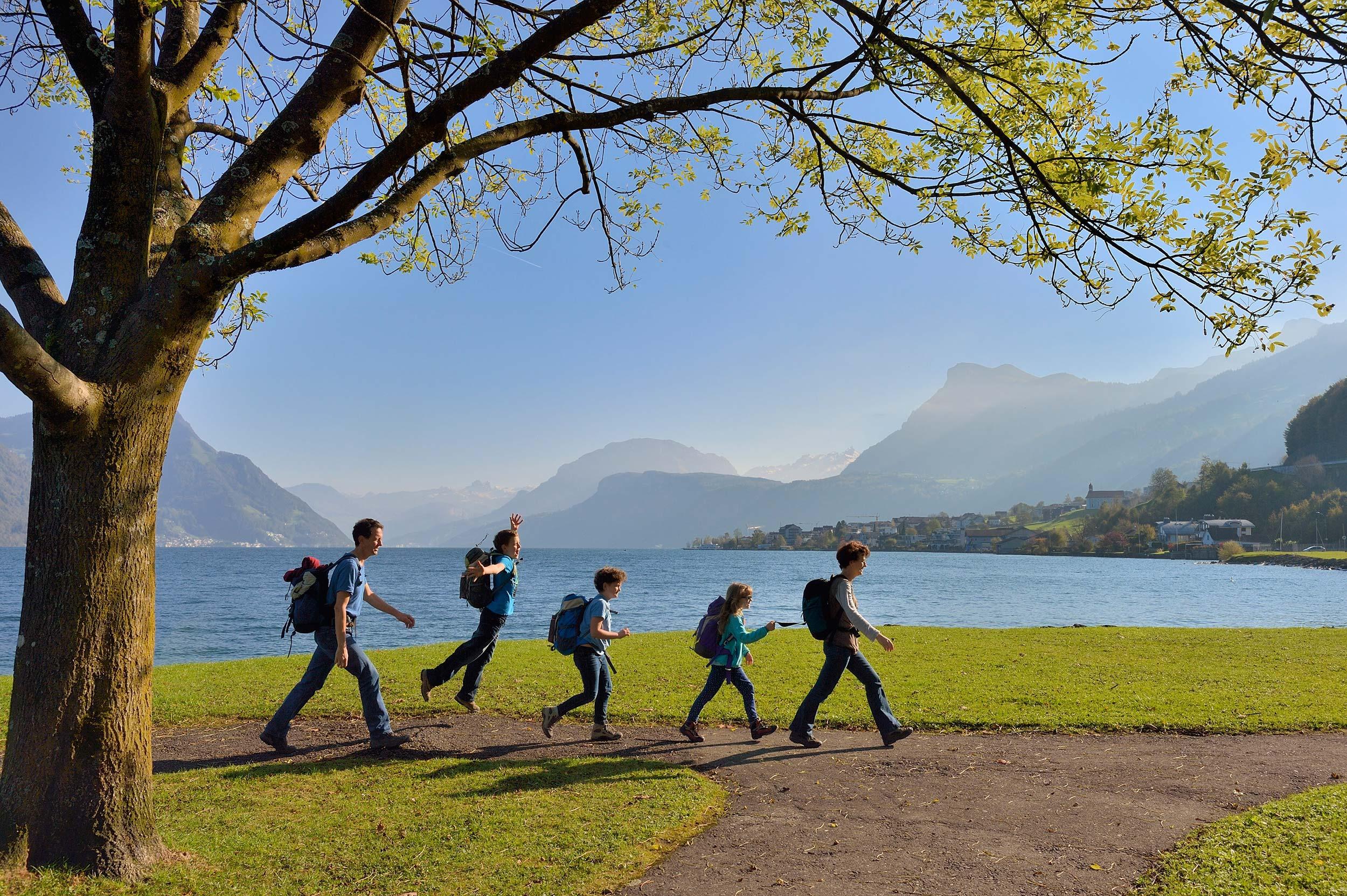
Escursioni a Brunnen
Waldstätterweg
Percorso regionale N. 98, Brunnen – Rütli
Descrizione
Percorso regionale
N. 98 (Brunnen – Rütli)
Lunghezza
115 km
Salite • Discesa
↑ 4800 m • ↓ 4800 m
Punto più basso • Punto più alto
433 m • 1082 m
Tecnica
medio
Forma fisica
medio
Percorso regionale N. 98: Waldstätterweg
Tappe
0. Beckenried – Rütli
0. Bürgenstock – Beckenried
0. Vitznau – Küssnacht
0. Luzern – Alpnachstad
0. Küssnacht – Luzern
0. Brunnen – Vitznau
0. Alpnachstad – Bürgenstock
Il sentiero del lago Vierwaldstättersee si snoda attorno a questa attrazione turistica. Scoprite camminando il paesaggio naturale e culturale con i suoi siti storici, villaggi, spiagge e città. Riscoprite il cuore della Svizzera centrale.
Commenti su queste informazioni?
Non vediamo l'ora di ricevere il suo feedback!
Presentato da
Itinerario
Grafico altezza
Meteo:
Più...
Commenti su questa attività o luogo?
Informazioni errate
Informazioni mancanti
Un altro tema
Grazie per il tuo commento!
Chiudi