search.ch

Schwyzer Höhenweg, Stage 1/5

Percorso regionale N. 63, Tappa 1: Küssnacht a.R. – Rigi
  • Immagine 1

Descrizione

Percorso regionale
N. 63 (Küssnacht a.R. – Einsiedeln)
Lunghezza
9 km
Salite • Discesa
↑ 1200 m • ↓ 50 m
Punto più basso • Punto più alto
433 m • 1605 m
Tempo di marcia
3 h 50 min
Tecnica
facile
Forma fisica
difficile
Percorso regionale N. 63: Schwyzer Höhenweg
Tappe
0. Goldau – Sattel
0. Rigi – Goldau
0. Küssnacht a.R. – Rigi
0. Holzegg – Einsiedeln
0. Sattel – Holzegg
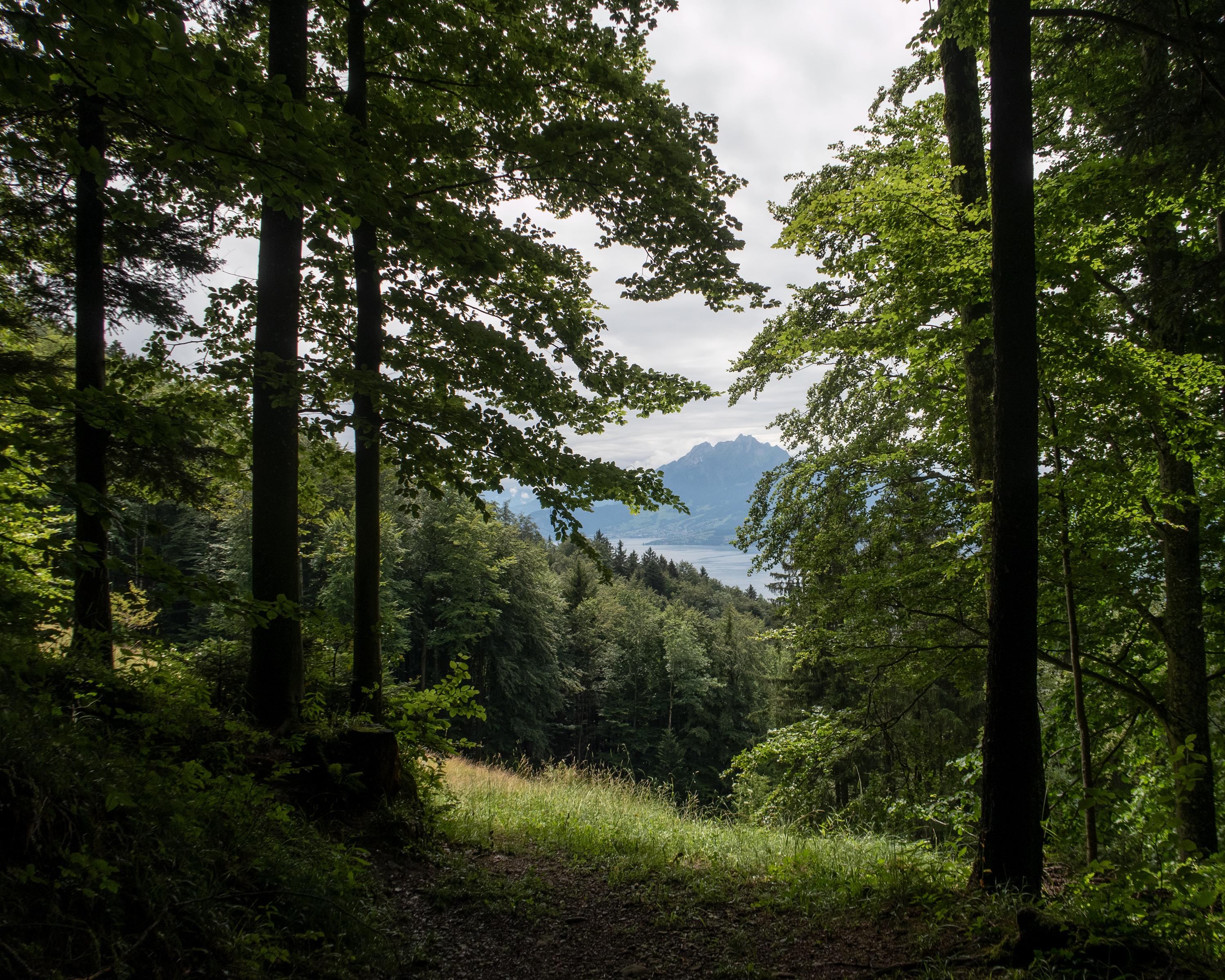
The first stage of the Schwyzer Höhenweg (high-level trail) is a relatively short but steep hike to the highest point of the Rigi at 1,797 metres above sea level. The spectacular panoramic views, the lovely location between three lakes and the wide range of leisure activities contribute to this mountain's popularity.

Itinerario

Grafico altezza

Meteo:

Commenti su questa attività o luogo?

Grazie per il tuo commento!