search.ch

Via Alpina, Stage 14/20

Percorso nazionale N. 1, Tappa 14: Kandersteg – Adelboden
  • Immagine 1

Descrizione

Percorso nazionale
N. 1 (Vaduz – Montreux)
Lunghezza
16 km
Salite • Discesa
↑ 1400 m • ↓ 1250 m
Punto più basso • Punto più alto
1171 m • 2383 m
Tempo di marcia
6 h 45 min
Tecnica
medio
Forma fisica
difficile
Percorso nazionale N. 1: Via Alpina
Tappe
0. L'Etivaz – Rossinière
0. Gstaad – L'Etivaz
0. Weisstannen – Elm
0. Sargans – Weisstannen
0. Engstlenalp – Meiringen
0. Vaduz (Gaflei, FL) – Sargans
0. Linthal – Urner Boden
0. Lenk – Gstaad
0. Altdorf (UR) – Engelberg
0. Elm – Linthal
0. Rossinière – Rochers de Naye
0. Urner Boden – Altdorf (UR)
0. Meiringen – Grindelwald
0. Griesalp – Kandersteg
0. Lauterbrunnen – Griesalp
0. Grindelwald – Lauterbrunnen
0. Engelberg – Engstlenalp
0. Adelboden – Lenk
0. Rochers de Naye – Montreux
0. Kandersteg – Adelboden
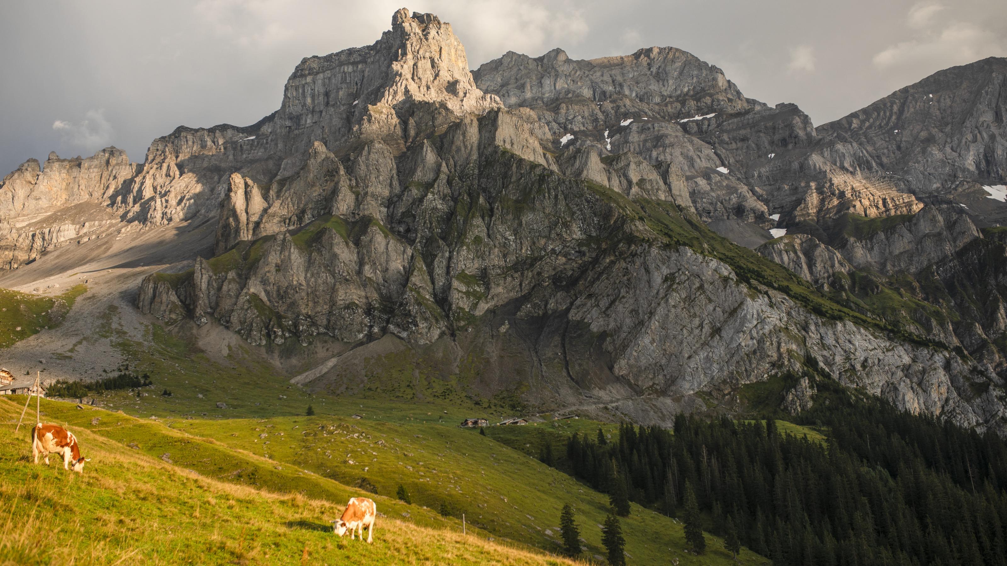
From Kandersteg’s traditional wooden chalets over flower-filled Alpine pastures towards the rock walls of the Lohner, a firm favourite with chamois. Over numerous steep sections to reach the Bunderchrinde, the breathtaking pass into Engstligental, and on to Adelboden.

Itinerario

Grafico altezza

Meteo:

Commenti su questa attività o luogo?

Grazie per il tuo commento!