Percorso locale N. 484, Tappa 4: Welschenrohr – Welschenrohr
Descrizione
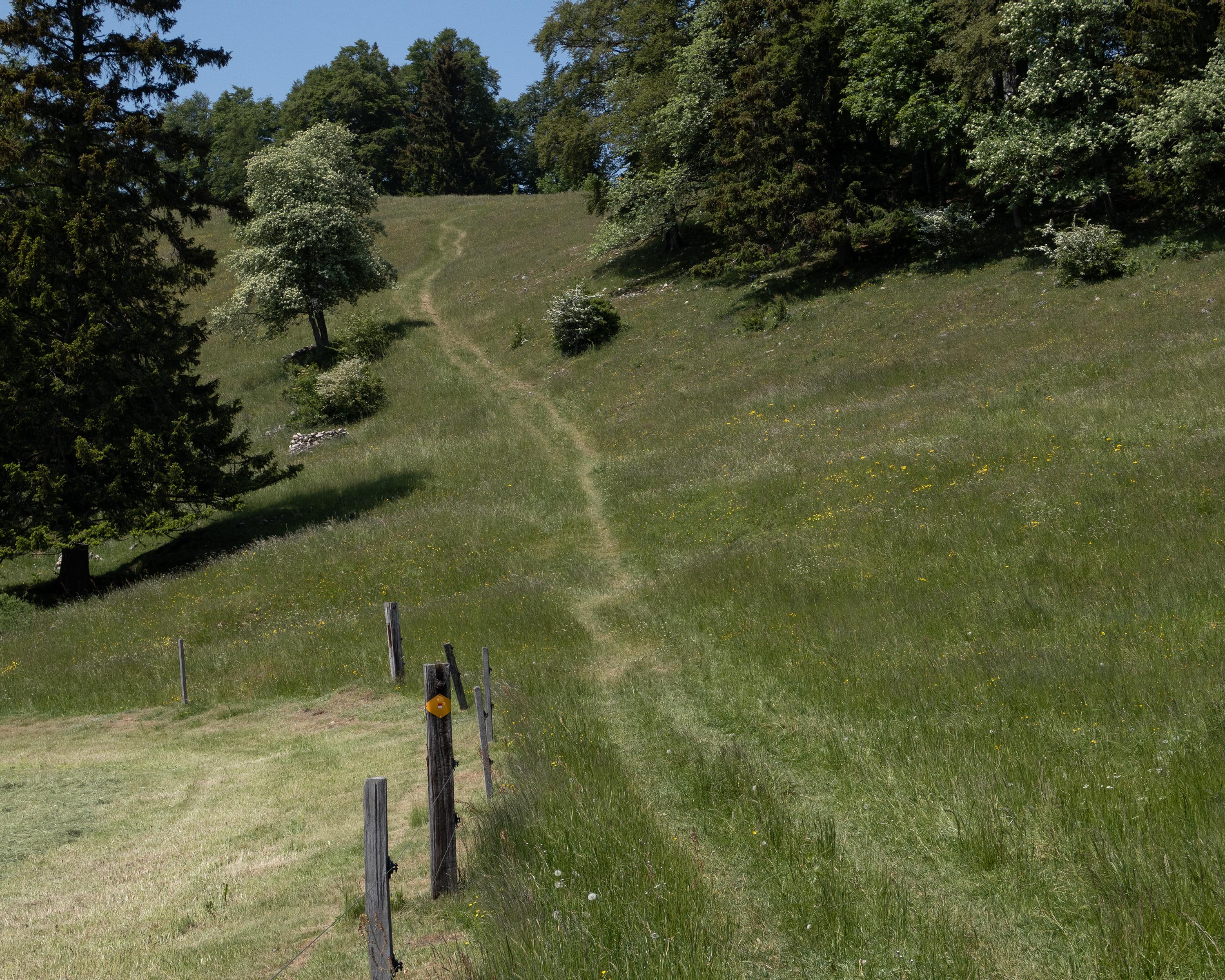
Percorso locale
N. 484
Lunghezza
13 km
Salite • Discesa
↑ 860 m • ↓ 860 m
Punto più basso • Punto più alto
598 m • 1178 m
Tempo di marcia
4 h 40 min
Tecnica
facile
Forma fisica
medio
In questo itinerario circolare si scoprono le diverse sfaccettature dal Parco naturale Thal. Il percorso inizia con la salita attraverso la bellissima Gola del Lupo e prosegue sulle ariose alture della seconda catena del Giura.