2°
2°
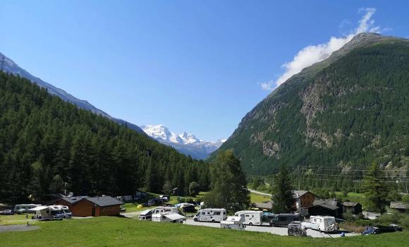
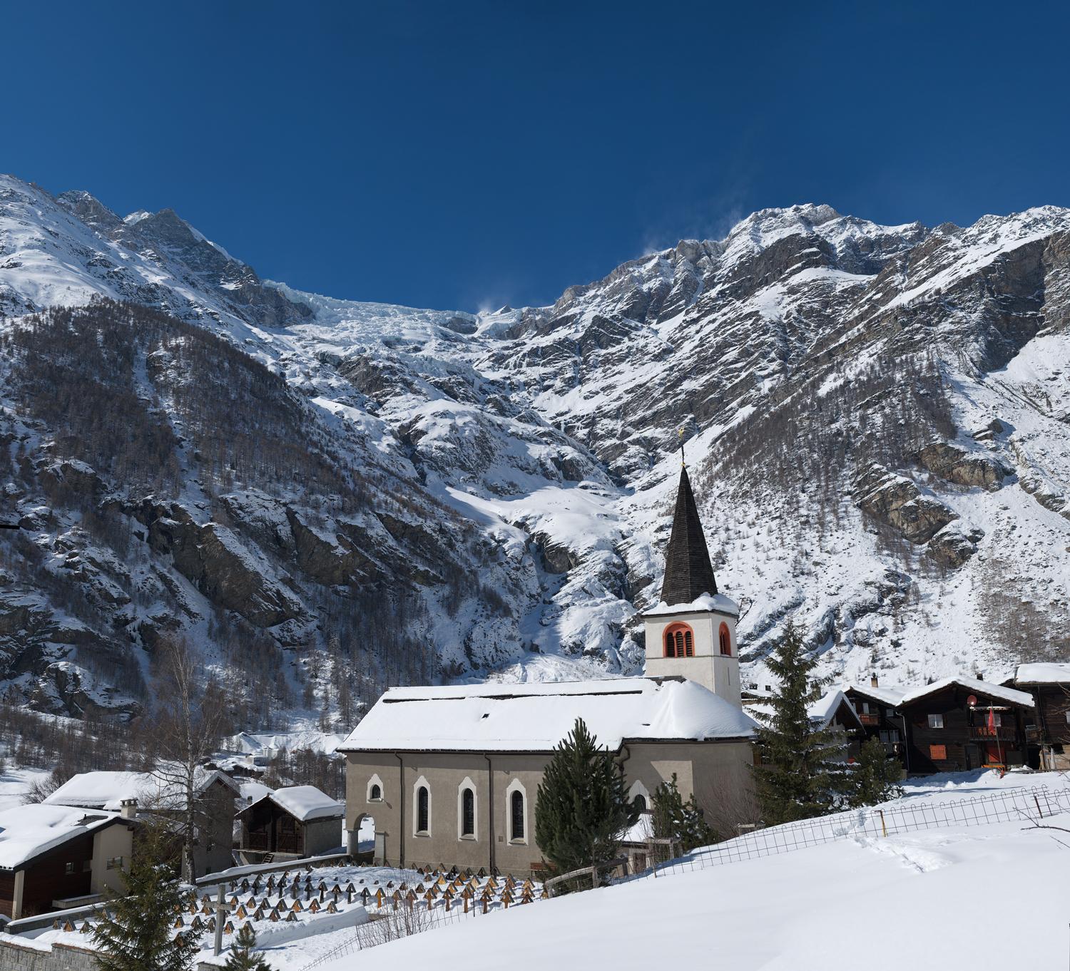
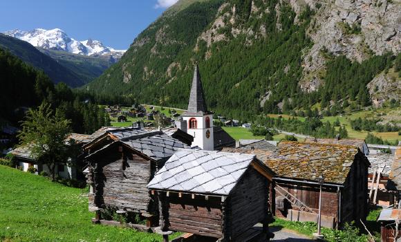
Randa
I primi documenti storici del paese, sorto nel 1290, e dei suoi numerosi borghi risalgono al 1305. Fino al 1552 faceva parte, insieme a Täsch, del distretto di Naters, poi del distretto di Visp. Il nome Randa significa confine (Rand). La chiesa barocca del 1717, ora ampliata, è un vero gioiello.
Randa (1406 m s.l.m.) è il terzo comune più alto della Mattertal, ed è situato tra Visp e Zermatt da cui dista circa 9 km. Il punto più basso del comune è ai confini con il comune St. Niklaus a circa circa 1270 m s.l.m. Il punto più alto è la vetta della montagna più alta della Svizzera, il Dom, a 4545 m s.l.m.
Il paese di Randa nel corso dei secoli è stato spesso colpito da catastrofi naturali. All’alba del 18 aprile 1991 sono improvvisamente precipitati a valle immensi macigni di roccia. Tre settimane più tardi, il 9 maggio, ancora una volta giganteschi massi sono precipitati sul borgo di Lerch, sulla strada di collegamento con Zermatt e sulla ferrovia Briga-Zermatt. Nel giro di tre settimane sono precipitati circa 30 milioni di metri cubi di roccia.
Mostra più