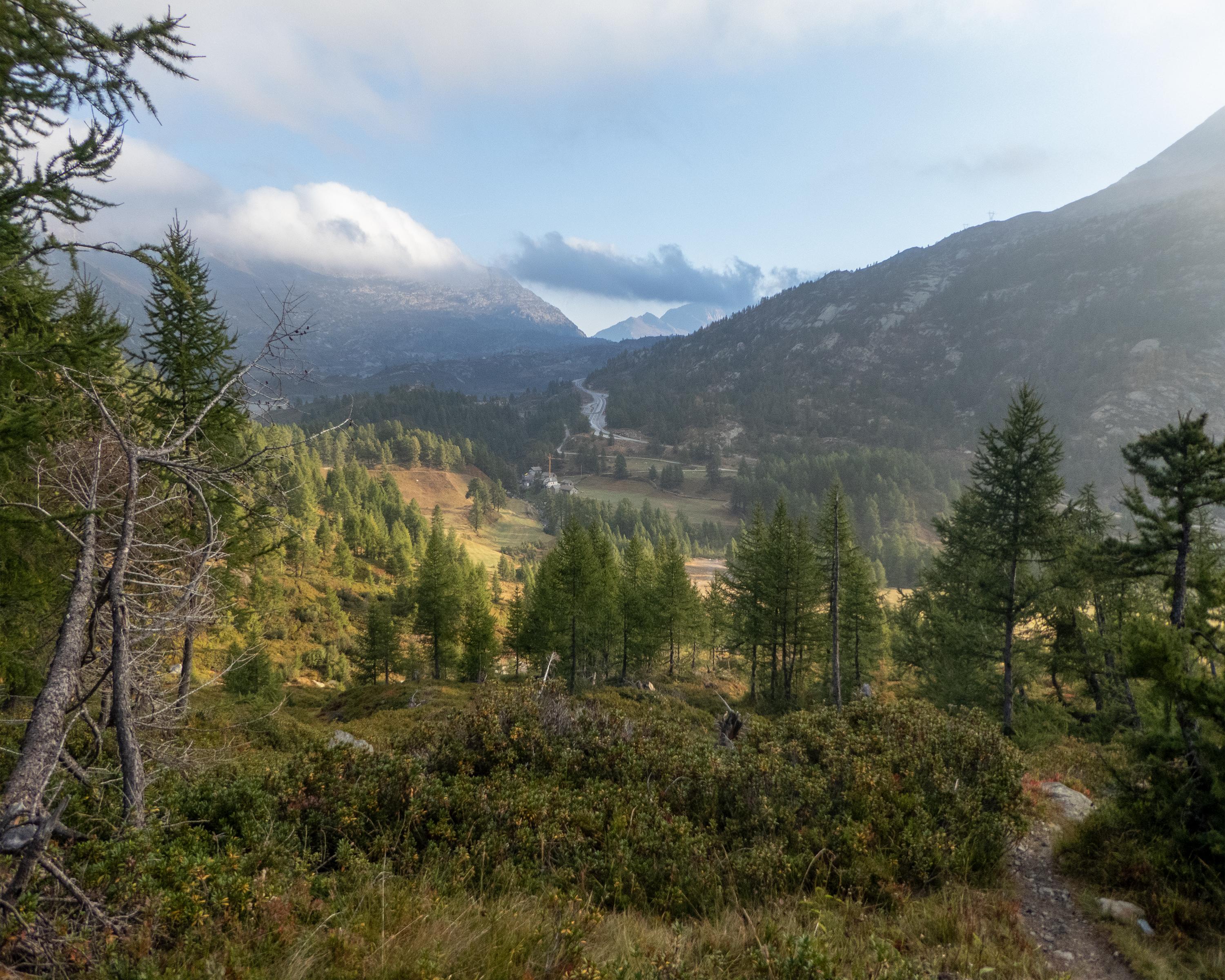
search.ch

Simplon-Sirwoltusee-Weg

Percorso locale N. 194, Tappa 4: Simplon, Engeloch – Simplon, Egga
  • Immagine 1

Descrizione

Percorso locale
N. 194
Lunghezza
10 km
Salite • Discesa
↑ 900 m • ↓ 1100 m
Punto più basso • Punto più alto
1589 m • 2615 m
Tempo di marcia
4 h 25 min
Tecnica
medio
Forma fisica
difficile
Hike in the Simplon region up to the crystal-clear Sirwoltu lake. The trail leads through rocky terrain and over scree slopes. The highest point is the Wyssbodehorn with a magnificent view down towards the mountain pass and across to the Valais alps.

Informazioni sulla prenotazione

Itinerario

Grafico altezza

Meteo:

Brig Simplon Tourismus

Commenti su questa attività o luogo?

Grazie per il tuo commento!