search.ch

Alpine Panorama Trail

National route No. 3, Rorschach – Genève
  • Image 1

Description

National route
No. 3 (Rorschach – Genève)
Length
510 km
Ascent • Descent
↑ 17800 m • ↓ 17800 m
Lowest point • Highest point
372 m • 1658 m
Grade
easy
Fitness level
difficult
National route No. 3: Alpine Panorama Trail
Stages
0. Les Paccots – Vevey (Corseaux)
0. Aubonne – Nyon
0. Moosegg – Münsingen
0. Schwarzsee – Jaun
0. Morges – Aubonne
0. Unterägeri – Zug
0. Gruyères – Les Paccots
0. Lausanne – Morges
0. Amden – Siebnen
0. Napf – Lüderenalp
0. Münsingen – Rüeggisberg
0. Rorschach – Trogen
0. Trogen – Appenzell
0. Bogis-Bossey – Genève
0. Siebnen – Einsiedeln
0. Jaun – Gruyères
0. Einsiedeln – Unterägeri
0. Rüeggisberg – Guggisberg
0. Wolhusen – Napf
0. Malters – Wolhusen
0. Schwägalp – Stein SG
0. Zug – Luzern
0. Vevey (Corseaux) – Lausanne
0. Luzern – Malters
0. Appenzell – Schwägalp
0. Stein SG – Amden
0. Nyon – Bogis-Bossey
0. Lüderenalp – Moosegg
0. Guggisberg – Schwarzsee
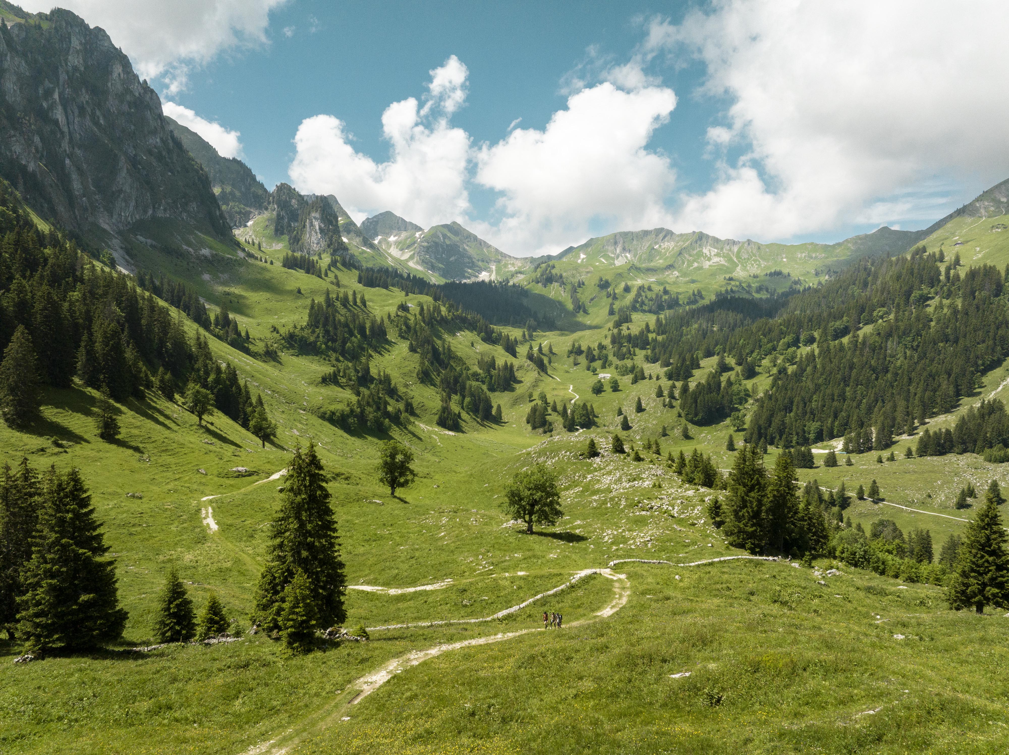
The Alpine Panorama Trail from Bodensee to Lac Léman promises many views of Alpine peaks as well as of the Mittelland and Jura. The route leads through the traditional agricultural landscape of the Alpine foothills, still dominated by milk and cheese production.

Height profile

Weather:

Comments about this activity or place?

Thank you for your feedback!