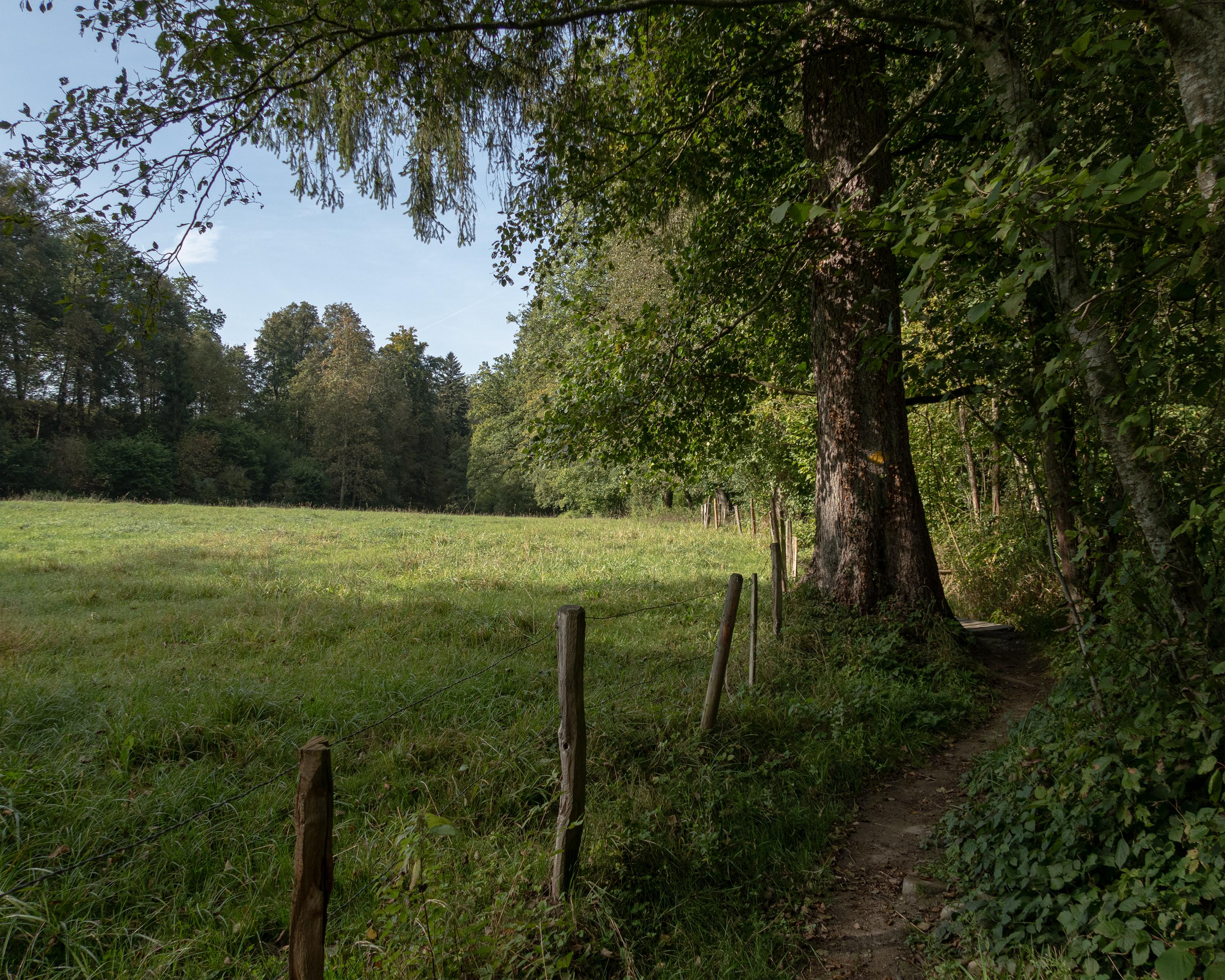
On this leg of the journey, you can recharge your batteries in the tranquillity of nature. The route connects Fribourg, founded by the House of Zähringen, with Payerne, a town created by Queen Bertha. Along the way, you will enjoy enchanting woodland, an idyllic spot to rest by the river, rural villages and a mini-enclave with a church of pilgrimage.

..Payerne&freizeit=1&noweather=1&width=400&height=200&x_axis_display=distance&polyline=kadb%40%7B%7EcJ_l%40%3FzGqFNeLrDaGJ%7BJhJRE%7BKzKw%40CcLnI%7BCHwJ%7EIaELuK%60IoFPuKtHkGd%40aLrIhCFwJjKz%40EuK%7EGg%40JmKjLv%40D%7DLrIbBF_J%7CGeC%3FkLzIdCC%7BJnJbEIaLhJhEBcLbHfFByJbKdBAwKlIk%40D%7DJfGuFR%7DKnIcDJqK%7CFuDZqKnIAT_KvFaC%60%40oKvIXg%40oKnEqAaBsK%7EFoFeAcLdGrEYcKhKzCCgLhK%5D%40kKtImBPyJ%7CDcA%3F%7BK%60KMOmK%7EJ%7DC%3FcL%7EJeBHmKzKa%40%40_LfGnG%40sKxIz%40BmJ%60IeDh%40iKzFzBj%40sLrDdBd%40uJ%7EIgB%60%40qKzJ%7BBKsKhKp%40EoKlIlCLgKlFhHZoKxH%7EFLwKfKtALuK%60Ks%40FiKjJzAJmKhFbIn%40uKnHbCn%40yKk%40sJAiKn%40gKFoKjFoIB%7BLdG_GPsJnIoEDmKpE%7BH%3FcKrJa%40DsKzKGJ%7BKbHsEFeK%60HmGDqKbA%7BJEoKlB%7BJXuKfDeJH%7DKzHaEB%7BJbKmED%7BLlIuDD%7DJlHyF%40iKrH_FQiKlIqEBiKpIsDPqK_IkCJyKrGeIHsMzCwFBgIdEgIBuKOuHOkKnFoE%3F%7BKlIoCNaKpIOLuK_%40_IYoKrFaI%40eL%7CHuERgKvHqEJmK%7EIvC%40%7DKtGfFHmKbKjB%40yMvE%7CFGkIbGxGE_KjEhIIkK%7CGjHKaLnLbDG%7BMjIVJkIfHoDRmKvFeCN%7DJpLbFBuNfFzCCoHnBfCIyKuAjIHcK)