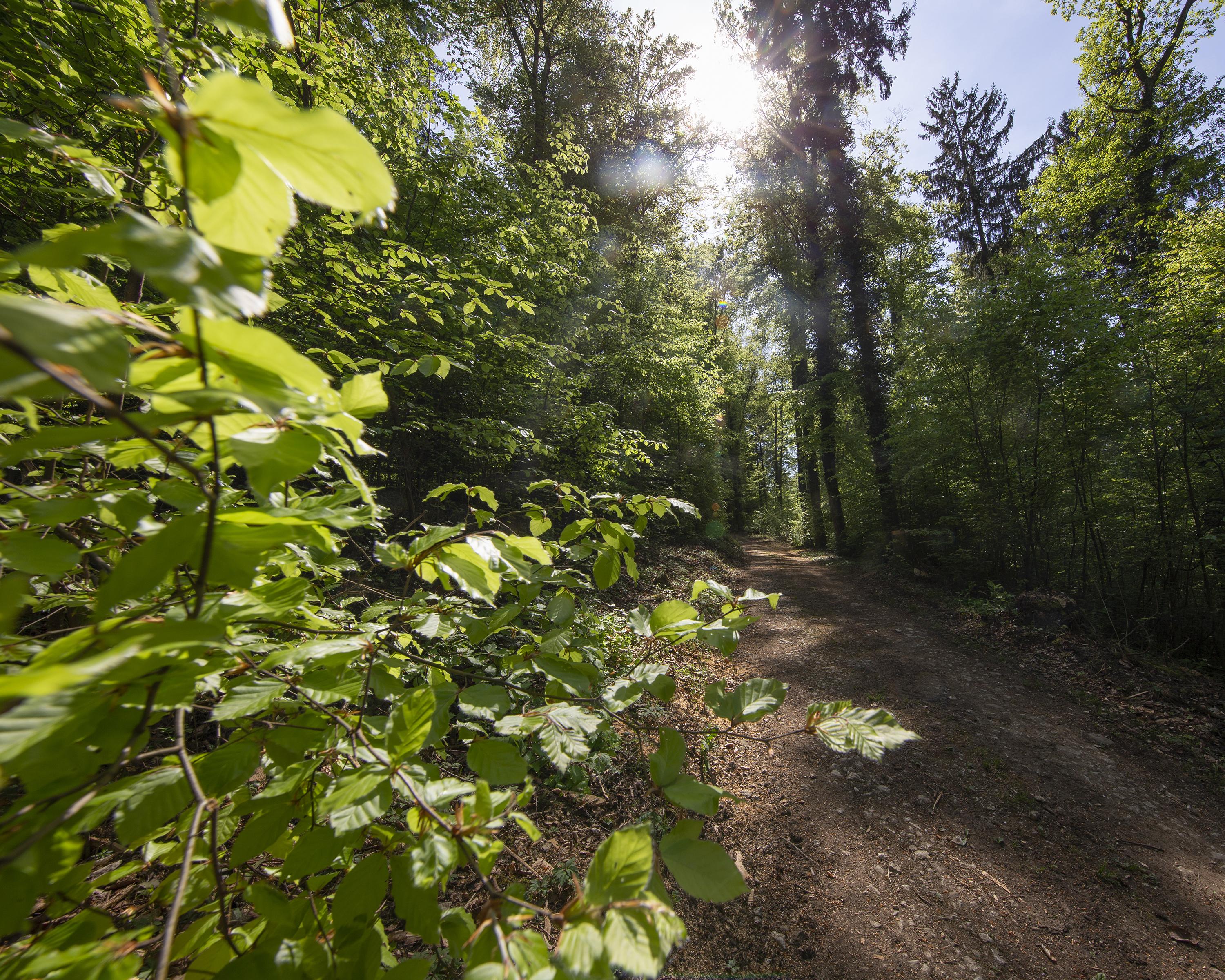
search.ch

Sentier du Sel

Percorso locale N. 132, Tappa 2: Plambuit – Bex
  • Immagine 1

Descrizione

Percorso locale
N. 132
Lunghezza
13 km
Salite • Discesa
↑ 360 m • ↓ 680 m
Punto più basso • Punto più alto
473 m • 1023 m
Tempo di marcia
3 h 35 min
Tecnica
facile
Forma fisica
medio
Through hamlets, forests, meadows and vineyards, prospecting for white gold: information panels guide you along this educational trail as you follow a channel that used to carry salt water. On the way, you can visit the salt mine in Bex.

Informazioni sulla prenotazione

Itinerario

Grafico altezza

Meteo:

Association Cum Grano Salis

Commenti su questa attività o luogo?

Grazie per il tuo commento!