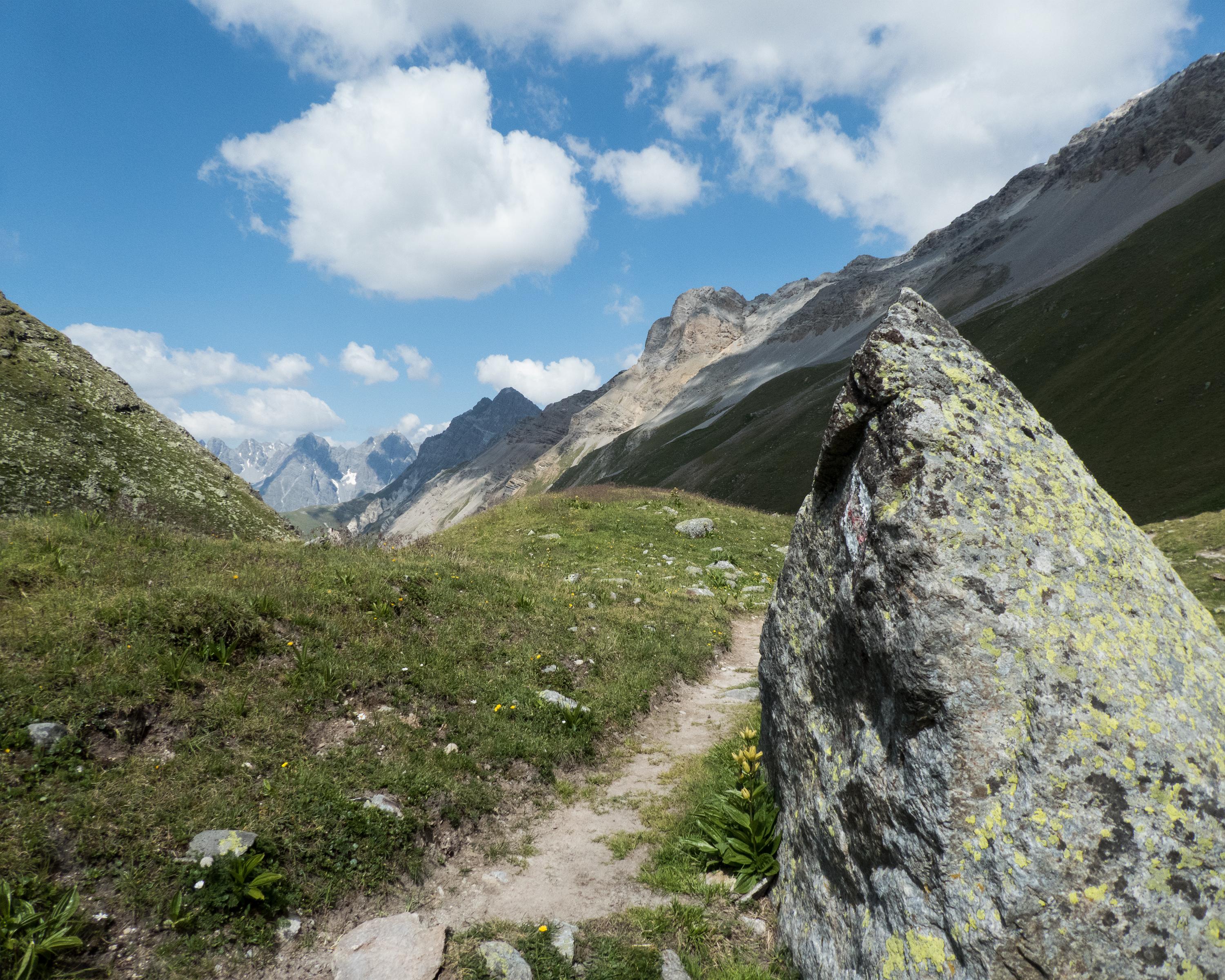
search.ch

Nationalpark-Panoramaweg, Stage 2/7

Regionale Route Nr. 45, Etappe 2: Sesvennahütte – S-charl
  • Bild 1

Beschreibung

Regionale Route
Nr. 45 (Scuol – Scuol)
Länge
11 km
Aufstieg • Abstieg
↑ 660 m • ↓ 1100 m
Tiefster Punkt • Höchster Punkt
1808 m • 2822 m
Wanderzeit
4 h
Technik
mittel
Kondition
schwer
Regionale Route Nr. 45: Nationalpark-Panoramaweg
Etappen
1. Sent, Sur En – Sesvennahütte
2. Sesvennahütte – S-charl
3. S-charl – Val Müstair, Süsom Givè
4. Val Müstair, Süsom Givè – Il Fuorn
5. Il Fuorn – Chamanna Cluozza
6. Chamanna Cluozza – Zernez
7. Zernez – Lavin
The route crosses Fuorcla Sesvenna at an altitude of 2,818 m and passes through vast rocky landscapes and past green and blue mountain lakes. As you follow the mountain stream down to the valley, the spectacular Alpine flora and the variety of colours of the boulders will surely catch your eye. The trail leads through pine forests to get to the former mining village of S-charl.

Höhenprofil

Wetter:

Anmerkungen zu dieser Aktivität oder diesem Ort?

Vielen Dank für dein Feedback!