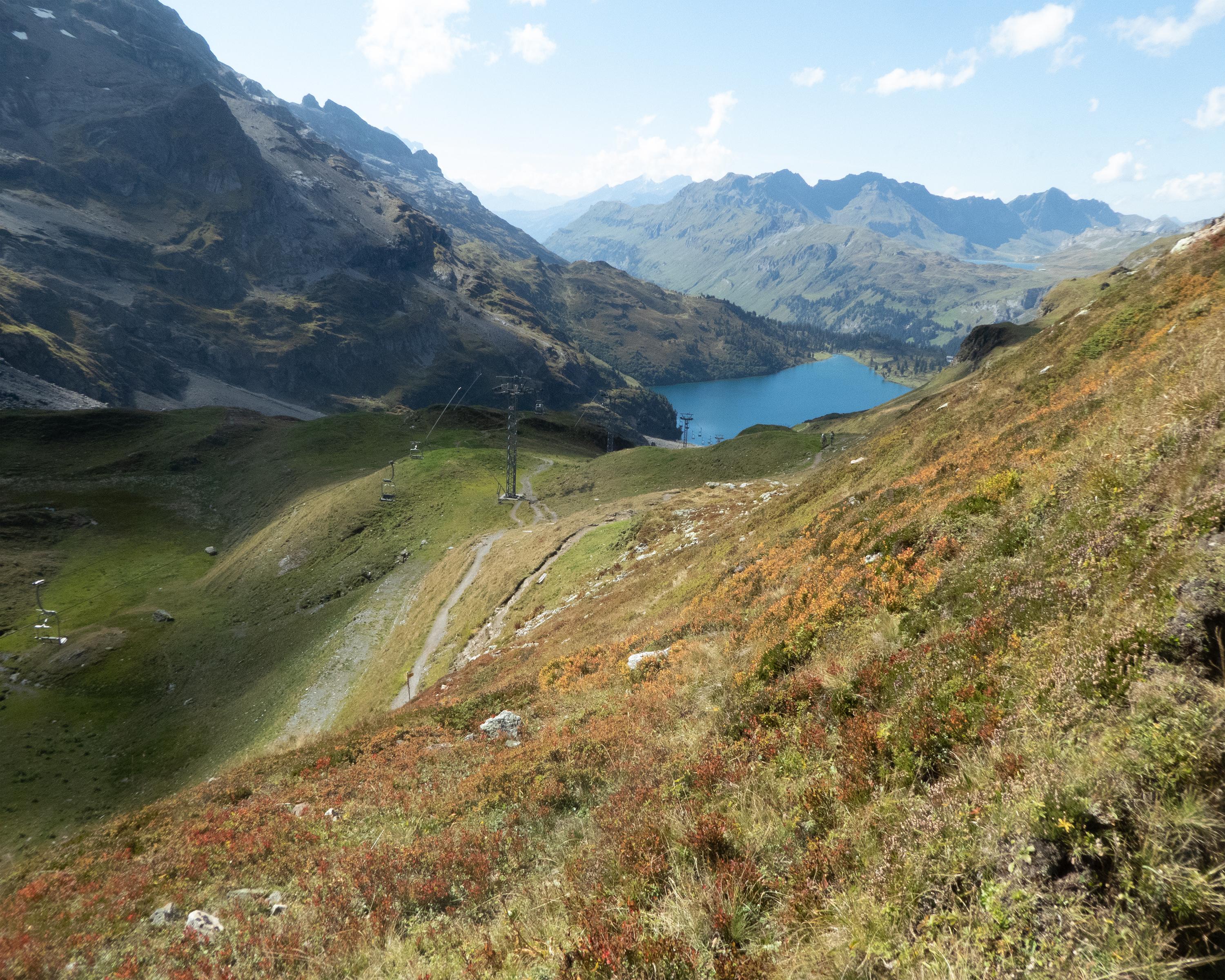
search.ch

ViaSbrinz, Stage 2/5

Regional route No. 40, Stage 2: Engelberg – Engstlenalp
  • Image 1

Description

Regional route
No. 40 (Stansstad – Ponte (I))
Length
13 km
Ascent • Descent
↑ 1300 m • ↓ 440 m
Lowest point • Highest point
995 m • 2210 m
Hiking time
5 h 10 min
Grade
medium
Fitness level
difficult
Regional route No. 40: ViaSbrinz
Stages
1. Stansstad – Engelberg
2. Engelberg – Engstlenalp
3. Engstlenalp – Guttannen
4. Guttannen – Obergesteln
5. Obergesteln – Ponte (I)
A challenging mountain stage over the 2207-metre-high Jochpass, the boundary between Inner Switzerland and the Bernese Oberland. The hike is enhanced by magnificent landscapes with mountain meadows, lakes and impressive peaks, above all the snow-capped Titlis.

Height profile

Weather:

Comments about this activity or place?

Thank you for your feedback!