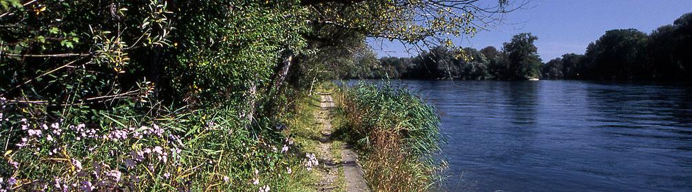
search.ch

ViaRhenana, Stage 1/10

Regional route No. 60, Stage 1: Kreuzlingen – Steckborn
  • Image 1

Description

Regional route
No. 60 (Kreuzlingen – Basel)
Length
19 km
Ascent • Descent
↑ 340 m • ↓ 340 m
Lowest point • Highest point
394 m • 483 m
Hiking time
4 h 45 min
Grade
easy
Fitness level
medium
Regional route No. 60: ViaRhenana
Stages
1. Kreuzlingen – Steckborn
2. Steckborn – Stein am Rhein
3. Stein am Rhein – Schaffhausen
4. Schaffhausen – Rheinau
5. Rheinau – Eglisau
6. Eglisau – Bad Zurzach
7. Bad Zurzach – Laufenburg
8. Laufenburg – Stein Säckingen
9. Bad Säckingen – Rheinfelden
10. Rheinfelden – Basel
Hike along the idyllic Seerhein shore and through shady northern slopes above the lake with views of Untersee and Insel Reichenau. Historic places of interest along the way: Gottlieben, Ermatingen, Steckborn and Arenenberg Castle with its Napoleon Museum.

Height profile

Weather:

Comments about this activity or place?

Thank you for your feedback!