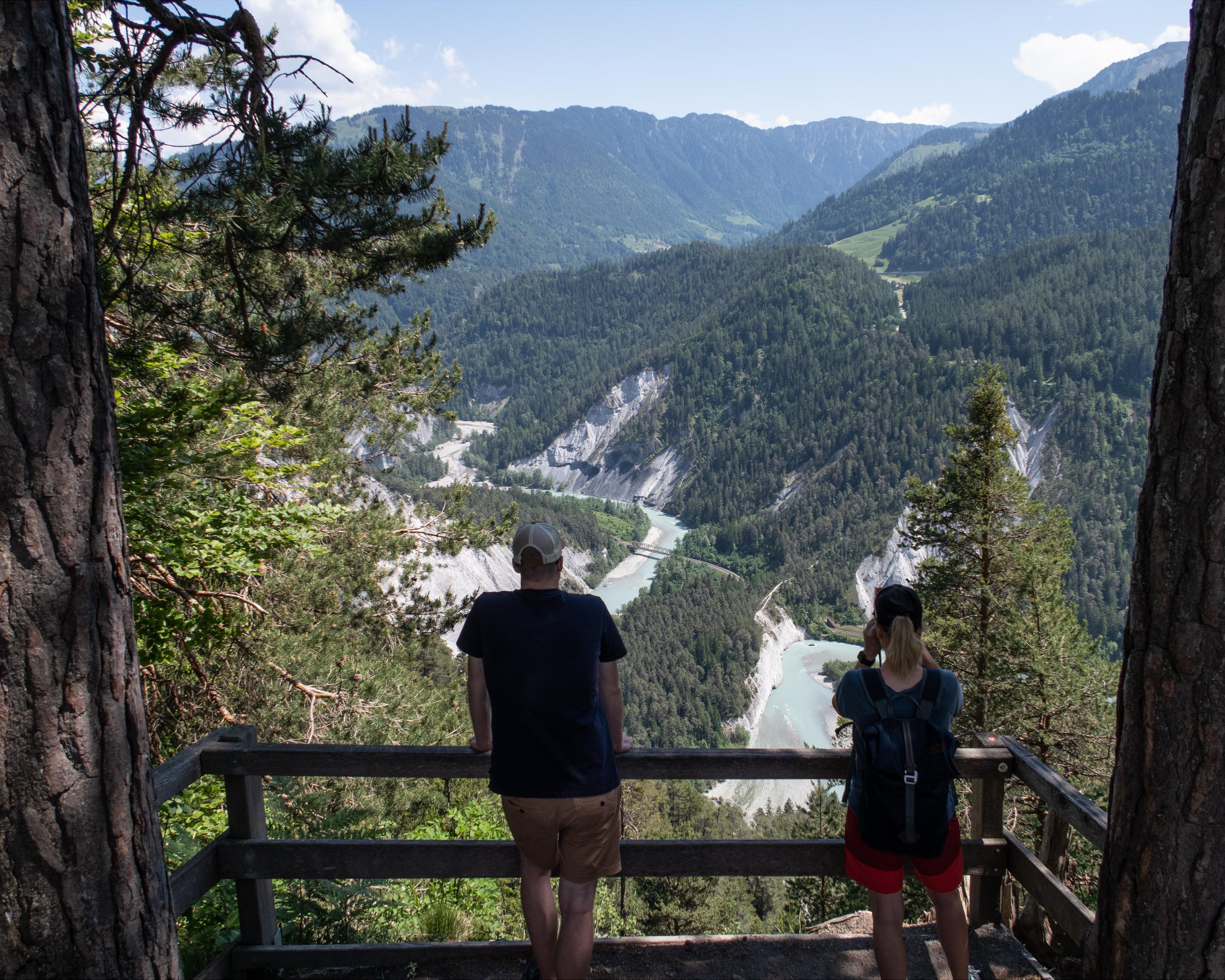
Der Flimserwald bietet eine wohltuende Erholung. In Conn erwartet einem die Aussichtsplattform Il Spir. Ein steiler Abstieg führt hinunter ins Val da Mulin, weiter über einen historischen Pilgerweg nach Laax zur Jakobskapelle. Von dort aus geht es nach Falera, wo die Megalithen Anlage und die Kirche St. Remigius warten.

&freizeit=1&noweather=1&width=400&height=200&x_axis_display=distance&polyline=mopl%40wkmJor%40%3FbGjEIuInF%7EDQuIvE%7EEFyIhG%7EBIkInHpASoJvHp%40AcIjHjBEeI%60HjDA_JpH%7EBPsIpFgBNiIvFgF%40yI%7B%40%7BH%60%40sIxEcDp%40kIvE%60BNwI%7C%40pIw%40%7BIj%40xIWaJjBlHi%40cInE%7ECo%40oItExCu%40%7BIxFxCm%40%7BInGdCW%7BHvHeA%5BuIvH%7DDIwJhHTMmHrAjG%3FuI%60B%7EE%40oJ%60HF%5DuH%60Ix%40QwIvH%5BY_JhIOWmI%7EHcA_AqI%7CHkBWyIvH_AcAeInH%60Cp%40yI%7ECvFp%40cJxHt%40z%40%7DHfBjBr%40sIwC%7EFX%7BIvCzGBwJ%7CGtBN%7DHzHiAf%40iI%7EF%60Dj%40%7DIfFpFf%40sIxAlHLoI%7BAhH%40aIv%40xH%3F_JfE%7CF%3FkInI%60BGcJnFxEF_JtGj%40b%40mItGfDj%40%7DIjH%7EAd%40_I%7CG%7EB%5EiItGlDJsIxHvDPkJhFhFXoIjF%7EDn%40%7DH%7C%40zIv%40oJpFdDl%40qHdGuBWsInEkE%5DeJdCmHu%40oI%7EAAw%40gIBdIy%40yIr%40Ca%40eJhBkHWaIrH%60%40MoIpIi%40c%40aJwC%7B%40g%40qIiFwCy%40aIpBgIWcJFcI%5DeIz%40aIm%40sItGQ%5DuIvDmFKoIlA_G%5BgJiA_IWkImE%7BFGmIg%40cIUwIUoIGsIHuHIkIbDqHc%40gJrBkHaAmIlDyFs%40gIjEfF_%40yInGdEc%40_J%7CAhEe%40eI%7CHvA%5DsIdEzFAiIh%40fHOcJjFpEBeIrAjICyIjDjH%40%7DItFxEKmI%7CFjEEgIfH%7EC%40qInHzCGsI%7CHfCEaJzGrDJwI%7CG%60CM_I)