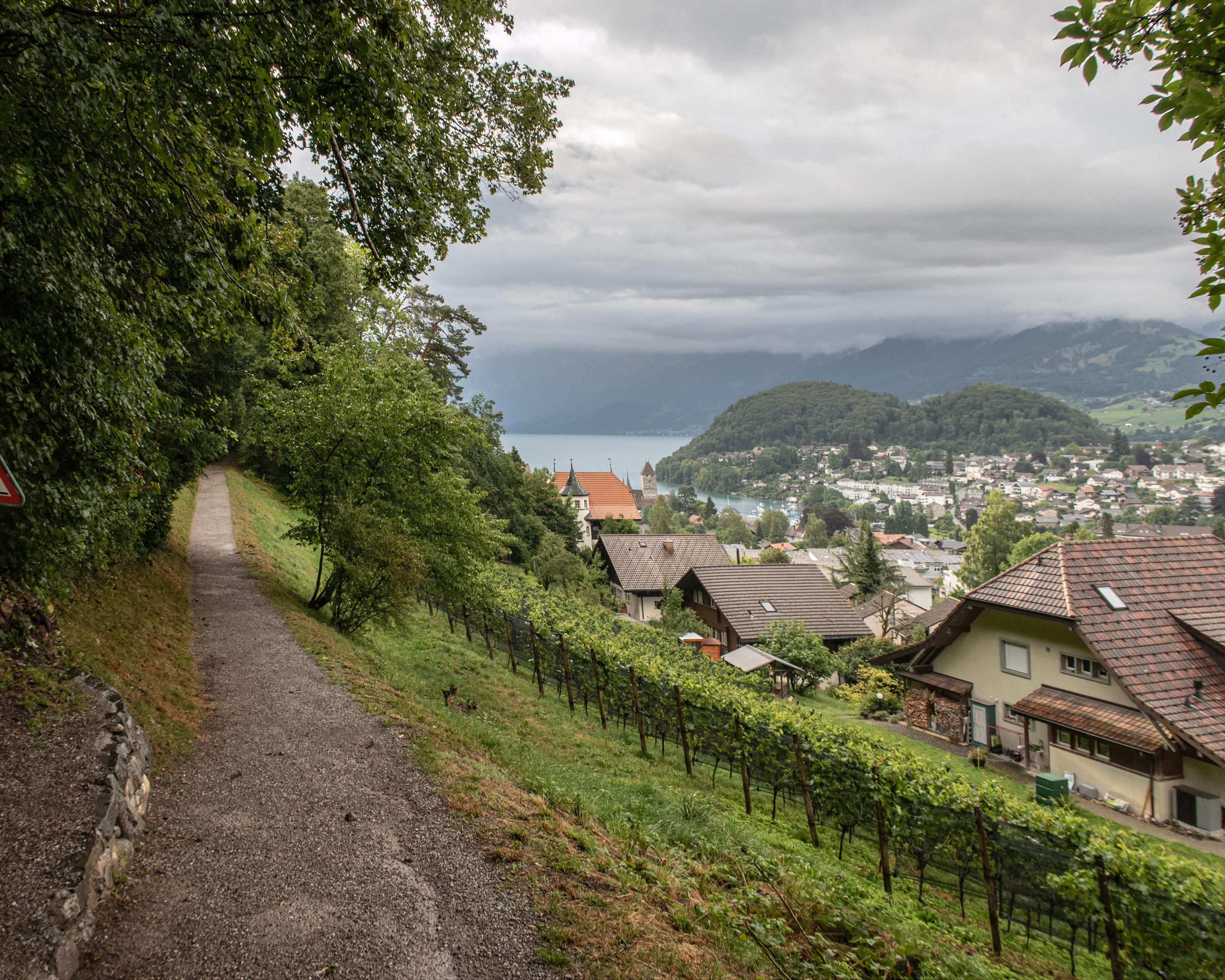
search.ch

ViaJacobi, Stage 11/33

National route No. 4, Stage 11: Spiez – Wattenwil
  • Image 1

Description

National route
No. 4 ()
Length
23 km
Ascent • Descent
↑ 560 m • ↓ 520 m
Lowest point • Highest point
559 m • 729 m
Hiking time
6 h
Grade
easy
Fitness level
difficult
National route No. 4:
Stages
1. Rorschach – Herisau
2. Herisau – Wattwil
3. Wattwil – Rapperswil (SG)
4. Rapperswil (SG) – Einsiedeln
5. Einsiedeln – Schwyz
6. Schwyz – Stans
7. Stans – Flüeli-Ranft
8. Flüeli-Ranft – Brünigpass
9. Brünigpass – Interlaken
10. Interlaken – Spiez
11. Spiez – Wattenwil
12. Wattenwil – Schwarzenburg
13. Schwarzenburg – Fribourg
14. Fribourg – Romont (FR)
15. Romont (FR) – Moudon
16. Moudon – Lausanne
17. Lausanne – Rolle
19. Coppet – Genève
20. Genève – Genève (Grenze)
21. Kreuzlingen (Konstanz, D) – Märstetten
22. Märstetten – Fischingen
23. Fischingen – Rapperswil (SG)
26. Werthenstein – Willisau
27. Willisau – Huttwil
28. Huttwil – Burgdorf
29. Burgdorf – Bern (Bärengraben)
30. Bern (Bärengraben) – Rüeggisberg
32. Fribourg (Villars-sur-Glâne) – Payerne
33. Payerne – Moudon (Curtilles)
34. Wattwil (Neuhaus) – Siebnen
35. Siebnen – Einsiedeln (St. Meinrad)
The stage from Spiez to Wattenwil winds through a tranquil landscape, passing several lakes against the backdrop of the mighty Stockhorn mountain range. Other highlights along the way include the 1,000-year-old churches on the shores of Lake Thun, various vineyards, Strättligburg Castle and Amsoldingen’s impressive Romanesque church.

Height profile

Weather:

Comments about this activity or place?

Thank you for your feedback!