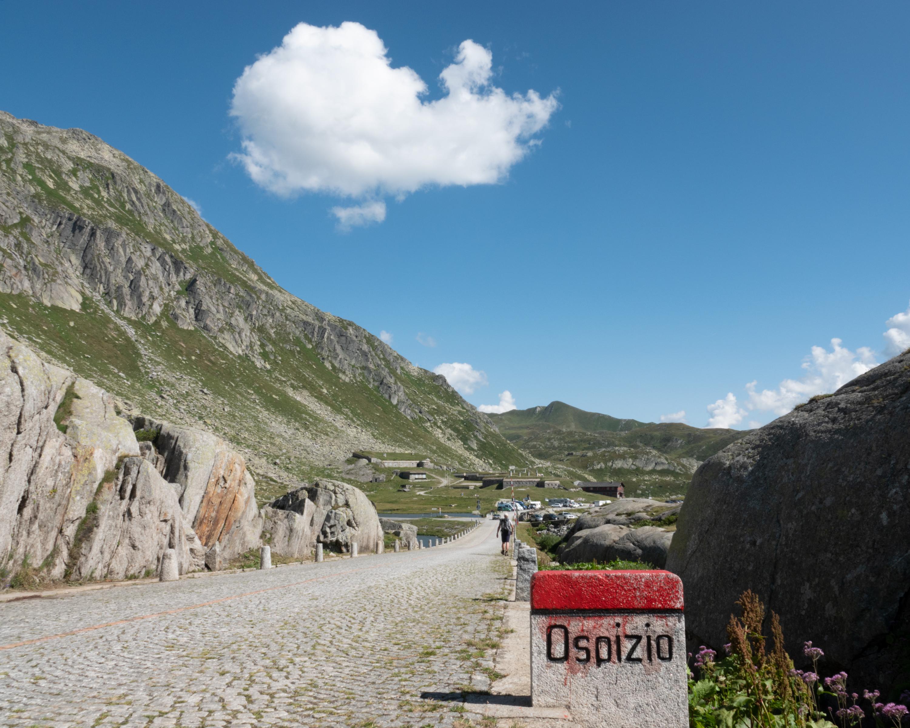
search.ch

Trans Swiss Trail, Stage 23/32

National route No. 2, Stage 23: Andermatt – Passo del S. Gottardo
  • Image 1

Description

National route
No. 2 (Porrentruy – Mendrisio)
Length
13 km
Ascent • Descent
↑ 780 m • ↓ 120 m
Lowest point • Highest point
1430 m • 2109 m
Hiking time
4 h
Grade
medium
Fitness level
medium
National route No. 2: Trans Swiss Trail
Stages
1. Porrentruy – Saint-Ursanne
2. Saint-Ursanne – Soubey
3. Soubey – Saignelégier
4. Saignelégier – St-Imier
5. St-Imier – Chézard St-Martin
6. Chézard St-Martin – Neuchâtel
7. Neuchâtel – Murten
8. Murten – Laupen
9. Laupen – Bern
10. Bern – Worb
11. Worb – Lützelflüh
12. Lützelflüh – Langnau i.E.
13. Langnau i.E. – Eggiwil
14. Eggiwil – Schangnau
15. Schangnau – Sörenberg
16. Sörenberg – Giswil
17. Giswil – Flüeli-Ranft
18. Flüeli-Ranft – Stans
19. Stans – Seelisberg
20. Seelisberg – Erstfeld
21. Erstfeld – Wassen
22. Wassen – Andermatt
23. Andermatt – Passo del S. Gottardo
24. Passo del S. Gottardo – Airolo
25. Airolo – Osco
26. Osco – Anzonico
27. Anzonico – Biasca
28. Biasca – Bellinzona
29. Bellinzona – Tesserete
30. Tesserete – Lugano (Comano)
31. Lugano (Paradiso) – Morcote
32. Morcote – Mendrisio
Follow the footsteps of the muleteers from Andermatt to the Gotthard Pass on the centuries-old north-south axis. The route along the Reuss through the romantic Urseren Valley to Hospental is mostly flat. From there, climb the historic mule trail to Switzerland’s most important Alpine pass, accompanied by the burbling Gotthard-Reuss River.

Height profile

Weather:

Comments about this activity or place?

Thank you for your feedback!