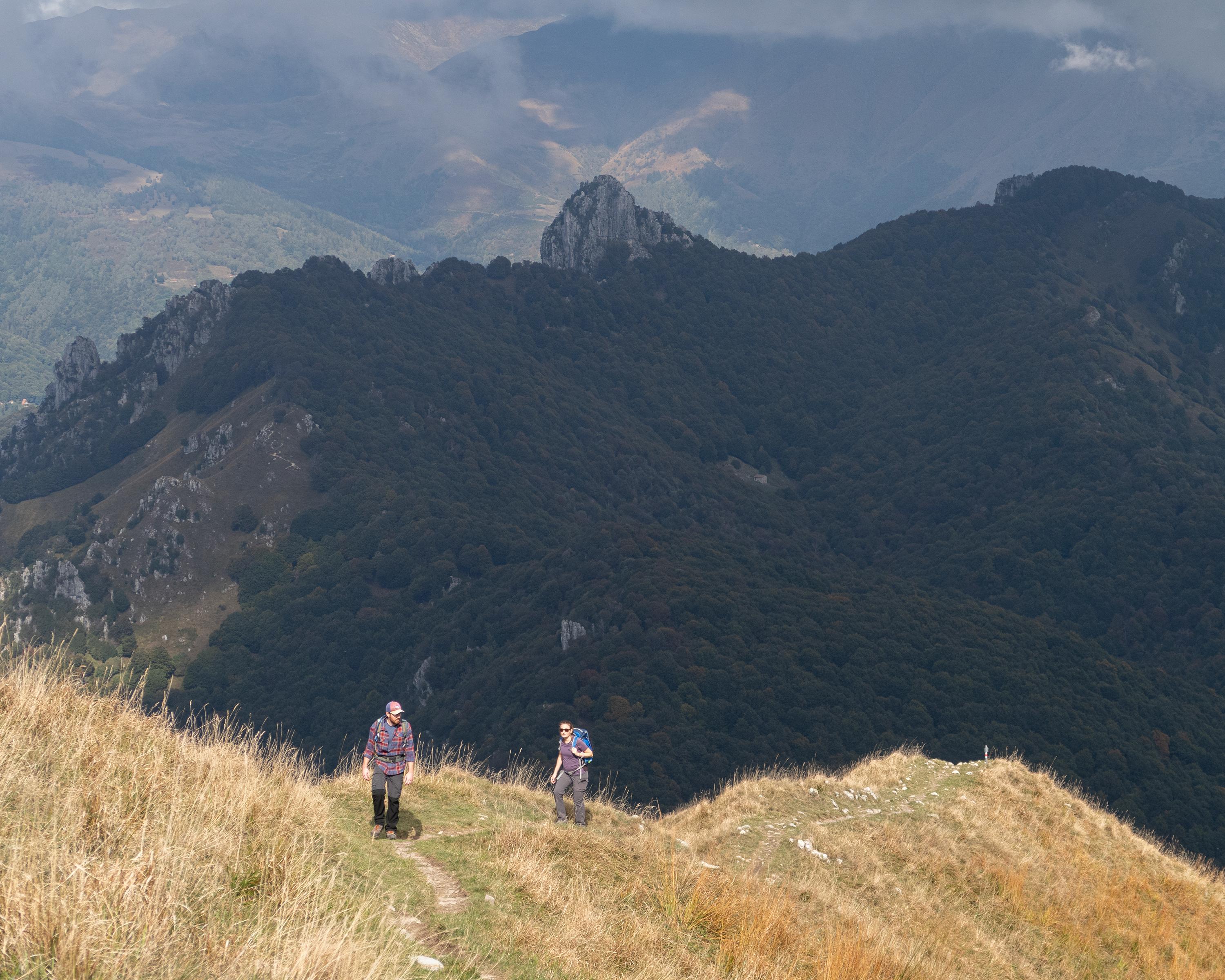
Von der schön gelegenen Hütte wandert man auf einem abwechslungsreichen Pfad, vorbei an felsiger Landschaft und durch schöne Buchenwälder. Dabei bietet sich immer wieder eine fantastische Aussicht auf die umliegende Berg- und Seewelt. Zum Abschluss folgt ein weiterer Höhepunkt: die südländisch anmutende Stadt Lugano, wo eine Abkühlung im See genossen werden kann.

&freizeit=1&noweather=1&width=400&height=200&x_axis_display=distance&polyline=yrek%40kcgEksA%3FtAjGi%40sI%7ECpFw%40mHtFjCWcI%60H%7DAPgIvD%7EE%40wHzEtETgIpGhCDeI%60FdEGuH%7CBnFi%40_IzD%7EDw%40eI%7EEjEeAaI%7CEpCx%40eIrHl%40n%40_IrGfBj%40%7BHdHrAVaIjGhBU%7DHhG%7EBBcInExEE%7BH%60DrF%60%40eIf%40%7EGp%40%7DHbCtFl%40_IeBzElAcI%7BBrD%7C%40eIxAhG%5DaIjA%7EFByHzD%7EElAgIrE%60EX_IzDjCf%40aI%7ECJd%40%7DHP%60HN_IfErFe%40aIpAdHs%40%7DHI%60FqAiIl%40tFeBcINxDaB%7BHYhD%7BAeI%5EdDmAuHt%40zFwAcI%7E%40hGS%7DH%7BD%7CFbAaIa%40lFl%40_I%5E%7CFv%40eILzAz%40%7BHsBpAr%40cIaAjBp%40cITdCx%40%7DHHvIx%40%7DIrDxEvAyHeAtGxBmHnA%7CD%60CcIfFdElA_Io%40dB%5EsIxEnDxAsHzFrAnA_IfGmEJqI%7EBIn%40gHsAnI%7C%40eJ%7BArF%5EyGlDrGbAqIjExEn%40eIbFhEb%40wHfGlC%5EwHzDtEX%7DHhFtDu%40gIdHbAu%40%7BH%60I%60%40sAeI%7EH%7EAiA%7DI%60HlAVmH%60D%7BHjCcJzEqEjBqHbHSpCgHrGpCrD%7BHbHhEvBeJdGxB%7EAaHrGxFvBsJpEbEzA_H%7CGlD%7EBqI%7CEfC%7CBoH%7CEbCNaIdH_%40%3FeHrHgBAeItJv%40CyJ%60Gn%40AgG%7CJb%40B_KzK%60%40%3F%7BKFhD%40oDXtF%40%7BHvJ%7E%40%40%7BJzGzC%3FgIfCzF%3FeHn%40%7EH%3FeI_%40fG%3FmGzFrEAsI%7CC%60K%3FeLhAlF%3FyFh%40tG%40%7DGaBhH%3FyHeEpDC%7DHnChGO%7DHAvH%5D%7DH)