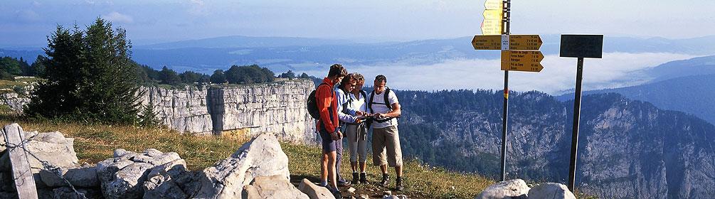
search.ch

Jura Crest Trail

National route No. 5, Dielsdorf – Nyon
  • Image 1

Description

National route
No. 5 (Dielsdorf – Nyon)
Length
320 km
Ascent • Descent
↑ 13900 m • ↓ 13900 m
Lowest point • Highest point
329 m • 1679 m
Grade
easy
Fitness level
difficult
National route No. 5: Jura Crest Trail
Stages
1. Dielsdorf – Brugg
2. Brugg AG – Staffelegg
3. Staffelegg – Hauenstein
4. Hauenstein – Balsthal
5. Balsthal – Weissenstein
6. Weissenstein – Frinvillier
7. Frinvillier – Chasseral
8. Chasseral – Vue des Alpes
9. Vue des Alpes – Noiraigue
10. Noiraigue – Les Rochats
11. Les Rochats – Ste-Croix
12. Ste-Croix – Ballaigues
13. Ballaigues – Le Pont
14. Le Pont – Col du Marchairuz
15. Col du Marchairuz – St-Cergue
16. St-Cergue – Nyon
The Jura Crest Trail links Zurich and Genève in a sweeping arc. Running through two language regions, the long trail has extensive views and offers discovery of a varied landscape. A respite from everyday hustle and bustle and mass tourism.

Height profile

Weather:

Comments about this activity or place?

Thank you for your feedback!