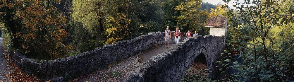
search.ch

ViaJacobi, Stage 16/33

National route No. 4, Stage 16: Moudon – Lausanne
  • Image 1

Description

National route
No. 4 ()
Length
30 km
Ascent • Descent
↑ 760 m • ↓ 740 m
Lowest point • Highest point
510 m • 906 m
Hiking time
7 h 50 min
Grade
easy
Fitness level
difficult
National route No. 4:
Stages
1. Rorschach – Herisau
2. Herisau – Wattwil
3. Wattwil – Rapperswil (SG)
4. Rapperswil (SG) – Einsiedeln
5. Einsiedeln – Schwyz
6. Schwyz – Stans
7. Stans – Flüeli-Ranft
8. Flüeli-Ranft – Brünigpass
9. Brünigpass – Interlaken
10. Interlaken – Spiez
11. Spiez – Wattenwil
12. Wattenwil – Schwarzenburg
13. Schwarzenburg – Fribourg
14. Fribourg – Romont (FR)
15. Romont (FR) – Moudon
16. Moudon – Lausanne
17. Lausanne – Rolle
19. Coppet – Genève
20. Genève – Genève (Grenze)
21. Kreuzlingen (Konstanz, D) – Märstetten
22. Märstetten – Fischingen
23. Fischingen – Rapperswil (SG)
26. Werthenstein – Willisau
27. Willisau – Huttwil
28. Huttwil – Burgdorf
29. Burgdorf – Bern (Bärengraben)
30. Bern (Bärengraben) – Rüeggisberg
32. Fribourg (Villars-sur-Glâne) – Payerne
33. Payerne – Moudon (Curtilles)
34. Wattwil (Neuhaus) – Siebnen
35. Siebnen – Einsiedeln (St. Meinrad)
Walking along the river, you will come to some bridges in Bressonnaz, where you can cross both the river Broye and the river Carrouge. On the way to Vucherens, you will enjoy unobstructed views of the Fribourg Alps and the Jorat woods. When descending towards Lausanne, you will see the Savoy Alps and Lake Geneva.

Height profile

Weather:

Comments about this activity or place?

Thank you for your feedback!