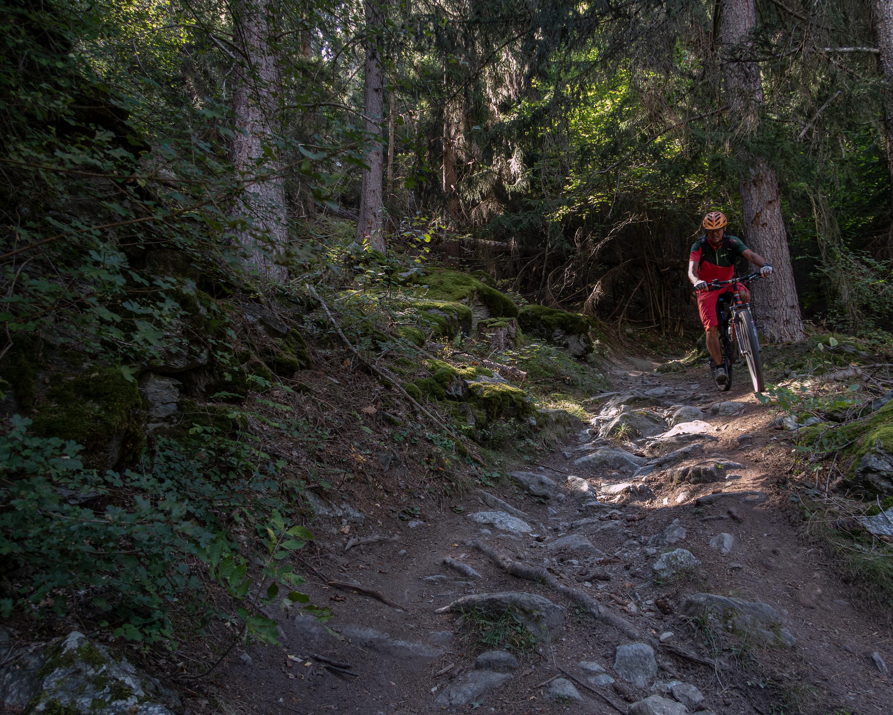
search.ch

Lunggi Trail

Local route No. 541, Eischoll–Gampel-Steg, Bahnhof

Description

Local route
No. 541 (Eischoll–Gampel-Steg, Bahnhof)
Length
14 km
Ascent • Descent
↑ 580 m • ↓ 1150 m
Lowest point • Highest point
631 m • 1767 m
Grade
medium
Fitness level
easy
This enduro highlight first leads from Eischoll up to Alpe Tschorr, always in view of the Bietschhorn and the Bernese Alps, then 1100 altitude meters down to Gampel-Steg, first on an attractive single trail through the forest, followed by a downhill to the valley with much flow and turns.
A cable car takes the mountain bikers from Turtig (near Raron) up to the charming Eischoll village on the southern slope of the Rhone Valley. Eischoll is home to the rare light flower, known in the region as a symbol of Alpine spring. It generally blossoms until late April. And then, up it goes to the “Striggen” station, either by chairlift or on the paved road through the old village centre. The panoramic views on the plateau toward Sengalpe are phenomenal. The sight of the scenery turns even the climb from Eischoll (about 600 altitude meters) into a pleasure. Near Meiggu hamlet, a short, but steep rise leads to Alpe Tschorr with views of the regal Bietschhorn in the north and the peaks of the Bernese Alps along the way. The alp where Eringer cows are grazing in the summer is the highest point of the tour. From Tschorr the Lunggi Trail makes this an extra special enduro downhill: a single trail snakes through Färichwald forest before it crosses the Alte Eischlersuon irrigation channel on a small paved road. This is a historic water supply system transporting water from Milibach to Eischoll and further to Gampel-Steg. Shortly before and after Habere, the trail crosses the mountain road twice. Smooth, challenging and zigzagging, it then meanders down through the forest to Lunggi, the hamlet of the same name. The enduro highlight ends with two or three sharp hairpin turns and the riders are sure to arrive at the Gampel-Steg train station with a smile on the face. Anybody who may want to cool down can take the gravel path on the right banks of the Rhone back to Raron. The tour comes to a perfect close on the shore of delightful Baggilla lake.

Booking Information

Route

Height profile

Weather:

Touristische Unternehmung Grächen AG

Comments about this activity or place?

Thank you for your feedback!