DE
FR
IT
EN
Telefonbuch
Wetter
Karte / Route
Fahrplan
Freizeit
TV
Kino
Websuche
Apps
Mehr
Persönliche Informationen »
Anmelden:
Registrieren
Passwort vergessen
oder
Anmelden mit local.ch
Anmelden mit Apple
Anmelden mit Facebook
Anmelden mit Google
Anmelden mit LinkedIn
Bitte beachten Sie, dass unsere neue
Datenschutzerklärung
sowie die angepassten
Nutzungsbedingungen
gelten.
Freizeit
Wanderung in Lausanne
ViaFrancigena, Etappe 4/10
Regionale Route Nr. 70, Etappe 4: Lausanne – Vevey
Beschreibung
Regionale Route
Nr. 70 ((Canterbury)–Ballaigues – Col du Gd St-Bernard–(Rom))
Länge
20 km
Aufstieg • Abstieg
↑ 440 m • ↓ 420 m
Tiefster Punkt • Höchster Punkt
372 m • 503 m
Wanderzeit
5 h 20 min
Technik
leicht
Kondition
schwer
Regionale Route Nr. 70:
ViaFrancigena
Etappen
1. Ballaigues – Orbe
2. Orbe – Cossonay
3. Cossonay – Lausanne
4. Lausanne – Vevey
5. Vevey – Aigle
6. Aigle – St-Maurice
7. St-Maurice – Martigny
8. Martigny – Orsières
9. Orsières – Bourg-St-Pierre
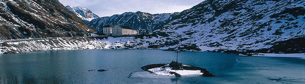
10. Bourg-St-Pierre – Col du Gd St-Bernard
Von den Quais in Ouchy aus führt die ViaFrancigena dem Ufer des Lac Léman entlang nach Villette. Dann windet sie sich durch die Terrassen des Lavaux, das als UNESCO-Weltkulturerbe gilt und eine fantastische Aussicht über den Genfersee bietet.
Anmerkungen zu diesen Informationen?
Wir freuen uns über Ihr Feedback!
Präsentiert von
Route
Höhenprofil
Wetter:
Mehr...
Anmerkungen zu dieser Aktivität oder diesem Ort?
Falsche Angaben
Fehlende Informationen
Anderes Thema
Vielen Dank für dein Feedback!
Schliessen