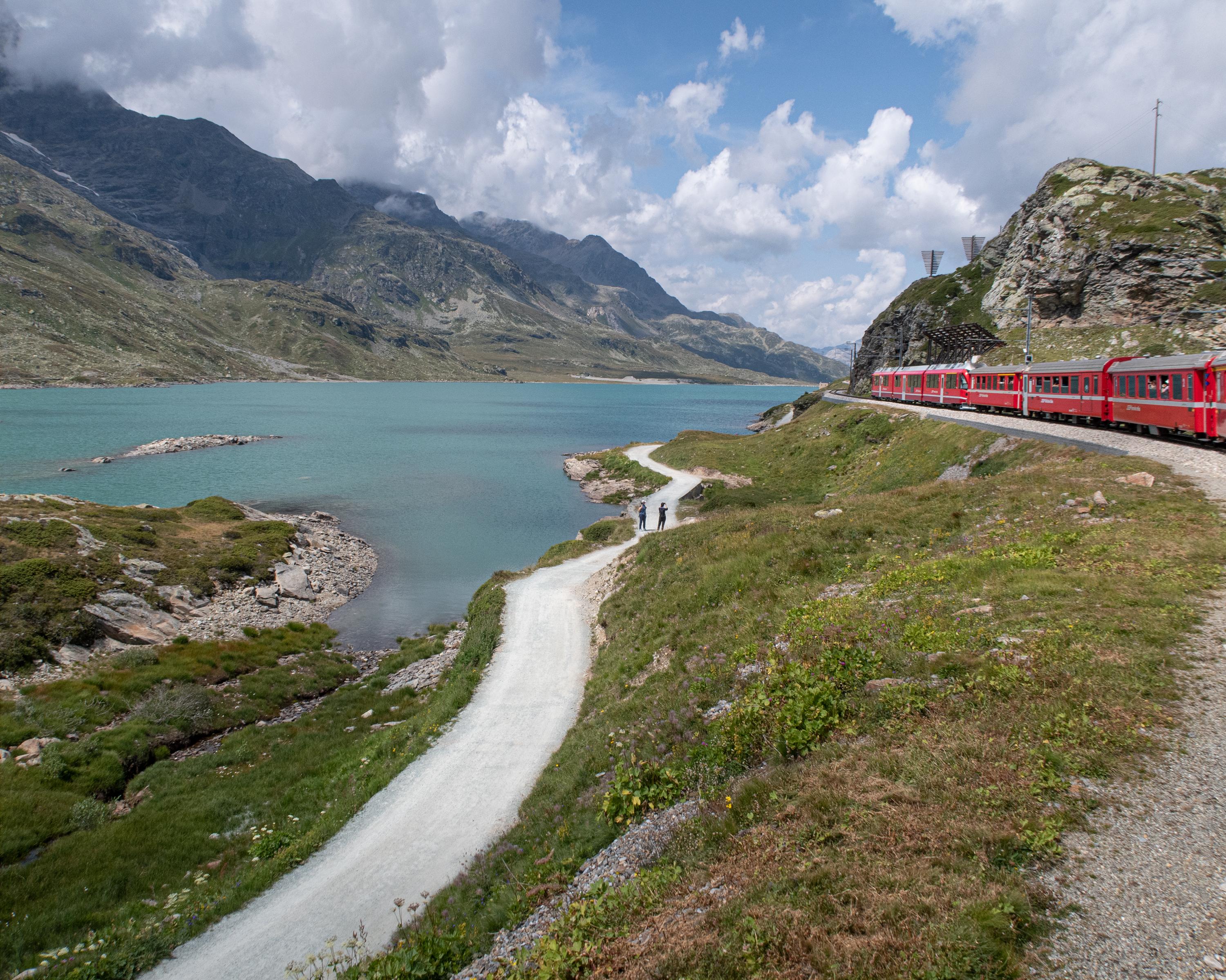
Seit Jahrhunderten wird in Graubünden und in Vorarlberg Wein aus dem Veltlin eingeführt. Eine der Säumerrouten führte vom Veltlin über Davos ins Montafon. Die historische Route ist als ViaValtellina, einem attraktiven Weitwanderweg, wieder aufgelebt.

..Tirano+(I)&freizeit=1&noweather=1&width=400&height=200&x_axis_display=distance&polyline=unco%40igoK%7BwA%3FjIjhAwFgtA%7CTnaAwHmtAsHnnAkDosAdHzu%40cKysAtQll%40aIktA%7CBdm%40jQusA%7EYft%40%7EK%7DsAn%5Bh%7D%40zEctAnTzdAjG_tAjg%40%7Ef%40bM%7DsA%7CKt%7B%40%5CatA__%40zgAs%40etAyJfy%40_E_tAeB%60%7C%40sEutA%7El%40yCaGksArn%40ry%40_%40usArj%40%7Cl%40gEauAoUp%7D%40nBisA%7E%5DxaAXqtArc%40nz%40HmsAsIt_%40IwsAkq%40ro%40_AatAqu%40r%7C%40%5BwsAak%40tdA%7BCatAut%40r%7B%40eA%7DsAum%40beAoB_uAkm%40dbAqC%7DrAcb%40teAeDetAi%5CniAsAgtAsc%40z_A_EqsAyGlbAyJatA%7ETfw%40mMetA%7CJzdAyBysApCv_AfJatAkTfe%40hJ%7DsAog%40jy%40%7CHatAak%40%60t%40tFysAqbArh%40dBatA%7BdAhe%40xCmtAgiAhd%40bB%7DtA%7BfAtSvBisAmv%40%7C%60%40j%40usAxj%40%7Et%40gC%7DsAzu%40jw%40hAysAvr%40ha%40LatAhy%40nl%40%7D%40ctAfr%40%60y%40YwsApz%40%7Ct%40b%40%7BsArn%40ds%40%5CitAlSp%7D%40EetAxl%40bx%40oA%7BsAlVl%7C%40%7E%40_tA%7Ci%40re%40GatApl%40%7Ew%40CqsApy%40%60u%40MutA%7Eq%40lx%40IysAi%5E%7CcASosAsk%40fcAYetAom%40%60%60Ac%40otAgu%40bk%40qAuuAoMv_%40%7B%40qqAkz%40rs%40c%40_tAqa%40fgAy%40ktAak%40pdAWetA%7Bm%40d%60%40k%40ssAky%40xNoFotAgjAt%5Ew%40qsAchAd_%40oActAkw%40dx%40_AqsAwQl%7E%40iBotAal%40tu%40iB%7BsAet%40fG%7B%40wsAsf%40h%7E%40d%40gtAcZv%7E%40AwsAuC%7CjAbDstAh%40d%7D%40bCesApQdVxIetAwx%40%60UrLsuAqe%40%60y%40pBirA%7BFhmAjGktAiGtq%40%7EIysA%7DM%7C%5ElK_tAaTx%7B%40rF%7BsAgr%40lr%40qC_tAco%40zs%40oD_tAui%40ls%40%7D%40ktAwp%40jb%40_MwsAww%40_TcQatAiXbU_GytA%60X%7C%7D%40%7CB%7BrAm%7E%40xk%40BgtAqw%40l_%40jGysAuZvq%40hHctAqIpfAzEytAcOzk%40lEisAif%40hw%40iBssA%7Da%40bx%40dJ_tAos%40jq%40dIatAeWjUtSiuAgIry%40nMqrA)