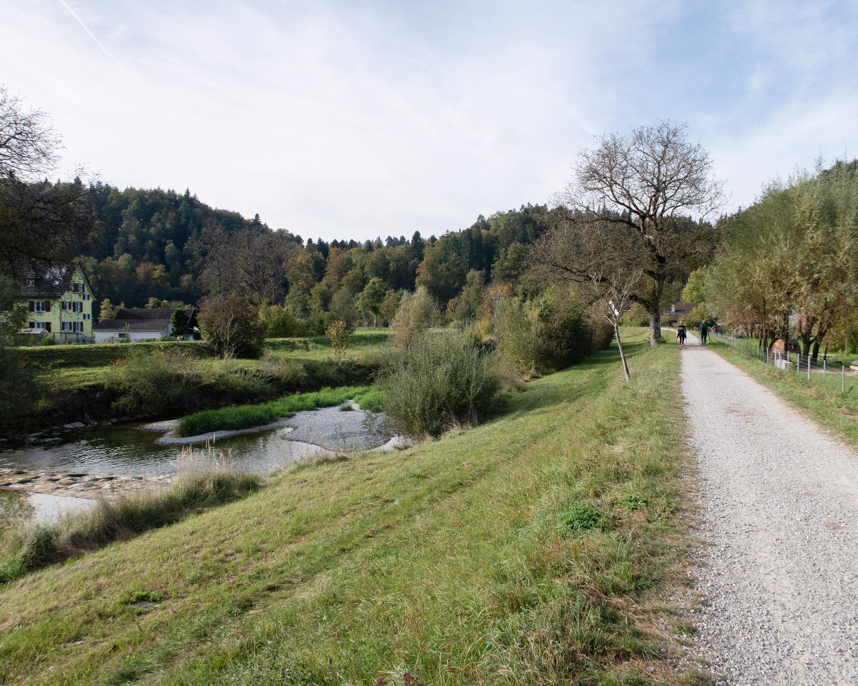
search.ch

Züri Oberland-Höhenweg, Stage 1/4

Regional route No. 69, Stage 1: Winterthur – Girenbad
  • Image 1

Description

Regional route
No. 69 (Winterthur – Rapperswil)
Length
19 km
Ascent • Descent
↑ 680 m • ↓ 400 m
Lowest point • Highest point
439 m • 789 m
Hiking time
5 h 15 min
Grade
easy
Fitness level
difficult
Regional route No. 69: Züri Oberland-Höhenweg
Stages
1. Winterthur – Girenbad
2. Girenbad – Hulftegg
3. Hulftegg – Chrüzegg
4. Chrüzegg – Rapperswil
After the beautiful old town of Winterthur, this walking route passes through Eschenberg forest. If you have time, you can visit the wildlife sanctuary or make a detour to the viewing tower. Passing along the river Töss and over sunny slopes bustling with agriculture, this leg ends at the historic Gasthof Gyrenbad inn.

Height profile

Weather:

Comments about this activity or place?

Thank you for your feedback!