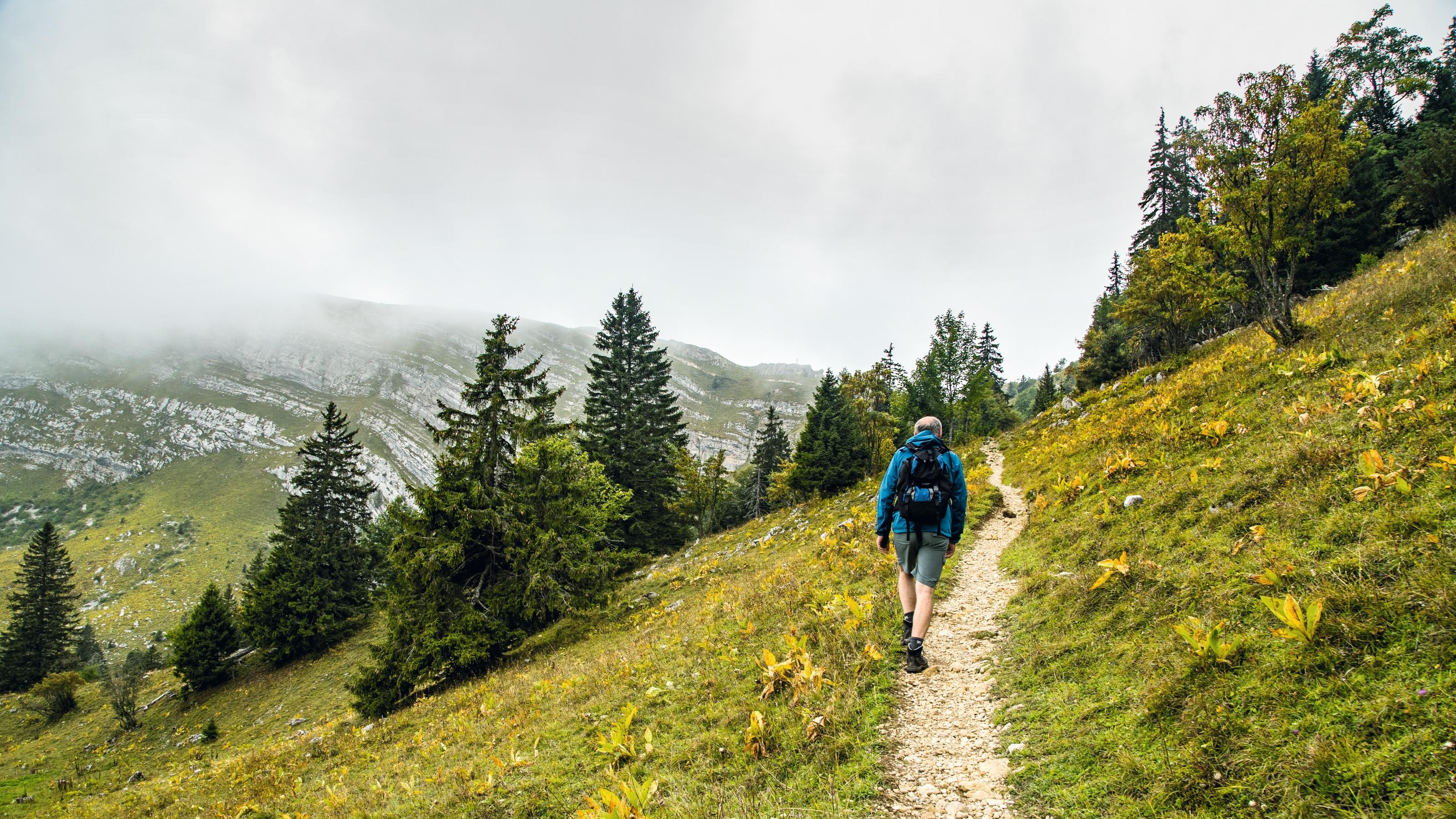
DE
FR
IT
EN
Directory
Weather
Map / Route
Timetable
Leisure
TV guide
Cinema
Web search
Apps
More
Personal Data »
Login:
Register
Password forgotten
or
Log in with local.ch
Log in with Apple
Log in with Facebook
Log in with Google
Log in with LinkedIn
Please note that our new
privacy statement
as well as the revised
terms and conditions of use
apply.
Leisure
Hike in Vaud
Jura Crest Trail, Stage 16/16
National route No. 5, Stage 16: St-Cergue – Nyon
Description
National route
No. 5 (Dielsdorf – Nyon)
Length
25 km
Ascent • Descent
↑ 780 m • ↓ 1400 m
Lowest point • Highest point
385 m • 1672 m
Hiking time
7 h 20 min
Grade
easy
Fitness level
difficult
National route No. 5:
Jura Crest Trail
Stages
1. Dielsdorf – Brugg
2. Brugg AG – Staffelegg
3. Staffelegg – Hauenstein
4. Hauenstein – Balsthal
5. Balsthal – Weissenstein
6. Weissenstein – Frinvillier
7. Frinvillier – Chasseral
8. Chasseral – Vue des Alpes
9. Vue des Alpes – Noiraigue
10. Noiraigue – Les Rochats
11. Les Rochats – Ste-Croix
12. Ste-Croix – Ballaigues
13. Ballaigues – Le Pont
14. Le Pont – Col du Marchairuz
15. Col du Marchairuz – St-Cergue
16. St-Cergue – Nyon
A bleak rock bastion and the lush Lac Léman shores: a pair of contrasts on this tour. After climbing to the top of La Dôle near the national border, the trail leads through forests to vineyards and Nyon, a small town in a superb location.
Comments on this information?
We welcome your feedback!
Presented by
Route
Height profile
Weather:
More...
Comments about this activity or place?
Incorrect information
Missing information
Another topic
Thank you for your feedback!
Close