DE
FR
IT
EN
Telefonbuch
Wetter
Karte / Route
Fahrplan
Freizeit
TV
Kino
Schnee
Websuche
Apps
Mehr
Persönliche Informationen »
Anmelden:
Registrieren
Passwort vergessen
oder
Anmelden mit local.ch
Anmelden mit Apple
Anmelden mit Facebook
Anmelden mit Google
Anmelden mit LinkedIn
Bitte beachten Sie, dass unsere neue
Datenschutzerklärung
sowie die angepassten
Nutzungsbedingungen
gelten.
Freizeit
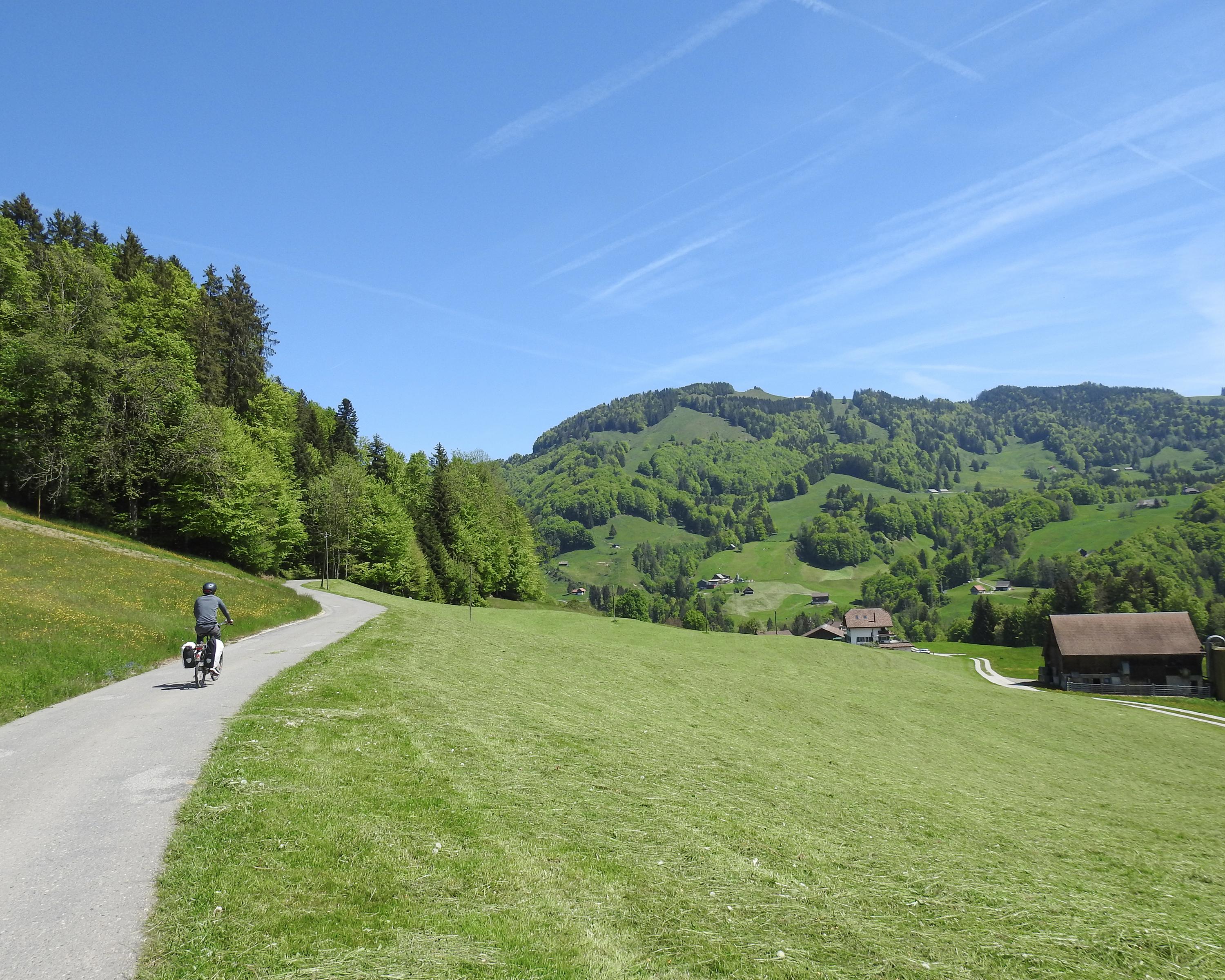
Velofahren in Schwyz
Ibergeregg–Sattelegg–Linth
Regionale Route Nr. 76, Schwyz – Uznach
Beschreibung
Regionale Route
Nr. 76 (Schwyz – Uznach)
Länge
60 km
Aufstieg • Abstieg
↑ 1400 m • ↓ 1500 m
Tiefster Punkt • Höchster Punkt
406 m • 1407 m
Kondition
schwer
Regionale Route Nr. 76: Ibergeregg–Sattelegg–Linth
Etappen
0. Willerzell – Uznach
0. Schwyz – Willerzell
Steil und hoch, nichts für weiche Waden und stotternde Herzen, die Ibergeregg und die Sattelegg sind ein Leckerbissen für Hobby-«Gümmeler». Der liebliche Sihlsee dazwischen auch eine Augenweide für alle anderen.
Anmerkungen zu diesen Informationen?
Wir freuen uns über Ihr Feedback!
Präsentiert von
Route
Höhenprofil
Wetter:
Mehr...
Anmerkungen zu dieser Aktivität oder diesem Ort?
Falsche Angaben
Fehlende Informationen
Anderes Thema
Vielen Dank für dein Feedback!
Schliessen